Global CityIntelligence

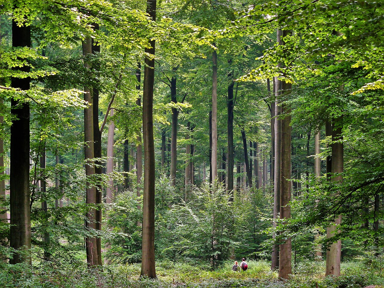
Verified Wikimedia Commons image of Forest of Arenberg
Forest of Arenbergabout 8 km (5 mi) from Valenciennes. Image credit: Image: Jérémy Jännick / Wikimedia Commons, Public Domain

Nature discovery

Nature Near Valenciennes, France

Research 7 classified outdoor destinations within weekend reach of Valenciennes, grouped across 3 kinds of place and ordered by measured straight-line distance from the city centre. Distances only — no travel times, schedules, or rankings.

Places listed
7
Closest
Forest of Arenberg — about 8 km
Furthest listed
about 80 km
Last updated
2026-05-16
Data year
2025

How this list is built

Each place is classified from its own Wikidata type, not from its name, and is ordered by measured straight-line distance from the centre of Valenciennes. Distances are great-circle kilometres between two published coordinates — this page does not publish travel times, transport schedules, opening hours, ticket prices, or rankings. Confirm access, facilities, and seasonal conditions with an official source before travelling.

How far these are

Reachability is a second axis over the same places: the category says what a destination is, the band says how far it sits from Valenciennes. Distances are measured in a straight line — this page publishes no travel times.

  • 6nearby
  • 1day-trip distance

What is out there

  • 5forests
  • 2protected areas
  • 2rivers

7 places near Valenciennes

Ordered by straight-line distance from Valenciennes, closest first. Distance bands: nearby is up to 60 km, day-trip distance is up to 120 km.

Places near Valenciennes

Showing all 7 places.

  • Verified Wikimedia Commons image of Haine Valley
    RiverNearby

    Haine Valley

    Straight-line distance
    about 10 km (6 mi)
    Recorded type
    river

    Haine Valley is River and wet-meadow corridor northeast of Valenciennes that crosses the French-Belgian border toward the Mons basin. Research access, facilities, and seasonal conditions with official sources before visiting.

    View place Haine Valley, about 10 km (6 mi) from Valenciennes

    Image credit: Image: Jean-Pol GRANDMONT / Wikimedia Commons, CC BY 2.5

  • Verified Wikimedia Commons image of Selle Valley
    RiverNearby

    Selle Valley

    Straight-line distance
    about 10 km (6 mi)
    Recorded type
    river

    Selle Valley is River valley southwest of Valenciennes, a tributary of the Scheldt running through farmland and wet meadows. Research access, facilities, and seasonal conditions with official sources before visiting.

    View place Selle Valley, about 10 km (6 mi) from Valenciennes

    Image credit: Image: Hektor / Wikimedia Commons, CC BY-SA 3.0

  • Verified Wikimedia Commons image of Forest of Mormal
    ForestNearby

    Forest of Mormal

    Straight-line distance
    about 23 km (14 mi)
    Recorded type
    forest

    Forest of Mormal is Large state forest of oak and beech southeast of Valenciennes, the biggest woodland in the Nord department and part of the Avesnois Regional Nature Park. Research access, facilities, and seasonal conditions with official sources before visiting.

    View place Forest of Mormal, about 23 km (14 mi) from Valenciennes

    Image credit: Image: Camster / Wikimedia Commons, CC BY-SA 4.0

  • Verified Wikimedia Commons image of Sonian Forest
    ForestDay-trip distance

    Sonian Forest

    Straight-line distance
    about 80 km (50 mi)
    Recorded type
    bluebell wood

    Sonian Forest is Large ancient beech forest northeast of Valenciennes on the southeastern edge of Brussels, a remnant of the historic Silva Carbonaria. Research access, facilities, and seasonal conditions with official sources before visiting.

    View place Sonian Forest, about 80 km (50 mi) from Valenciennes

    Image credit: Image: Donarreiskoffer / Wikimedia Commons, CC BY 3.0