Supported cities
236
City profiles indexed for France.
Western Europe
France's city profile benefits from European air-quality reporting, transit-rich urban regions, and strong policy pressure toward lower-emission mobility. France is indexed at the country level in Western Europe, with 236 city profiles linked below.

Image credit: Image: Pierre Blaché from Paris, France / Wikimedia Commons, CC0
Additional verified imagery for France. Each photo is sourced from Wikimedia Commons with full attribution and a permissive license.

Mont-Saint-Michel
Image credit: Image: Diliff / Wikimedia Commons, Public domain
Snapshot of structured France city intelligence and which verified utility layers are available on this hub.
Supported cities
236
City profiles indexed for France.
Emergency profile
Verified
Country emergency contacts attributed to official publishers.
Healthcare profile
Verified
Healthcare layer attributed to official health authorities.
Transport profile
Verified
Transport authority and operator references attributed to official sources.
Related comparisons
6
Curated city-vs-city comparison pages that reference this country.
Related collections
2
Best Cities collections that include at least one city from this country.
Data year
2025
Reference year for the country intelligence dataset.
Last updated
2026-05-16
Most recent platform-side review of the country hub.
Strong
Mobility, climate, and public-space reform provide useful city-level comparison signals.
High transparency
European monitoring supports pollutant comparison and health framing.
Retrofit and heat
Older buildings and heat stress shape city transition strategy.
Country pages group cities into crawlable clusters and give national context without replacing city-level comparisons.
| Metric | Value | Context |
|---|---|---|
| Region | Western Europe | Used for geographic clustering and regional comparisons. |
| Indexed cities | 236 | Ajaccio, Biarritz, Carcassonne, Bastia, Saint-Malo, Tarbes, Vannes, Albi, Cherbourg, Beziers, Arras, Narbonne, Cannes, Béthune, Poitiers, Antibes, Bourges, Colmar, Quimper, Angoulême, Niort, Calais, Boulogne-sur-Mer, Beauvais, Saint-Quentin, Montbéliard, Toulon, Lens, Valenciennes, Mulhouse, Dunkirk, Saint-Nazaire, Lorient, Valence, Troyes, Saint-Étienne, Le Havre, Angers, Metz, Orléans, Le Mans, Limoges, Paris, Lyon, Marseille, Toulouse, Nice, Bordeaux, Strasbourg, Montpellier, Rennes, Grenoble, Dijon, Aix-en-Provence, Nantes, Lille, Rouen, Reims, Tours, Annecy, Avignon, Nancy, La Rochelle, Nîmes, Clermont-Ferrand, Chambéry, Pau, Besançon, Bayonne, Brest, Perpignan, Caen, Villeurbanne, Amiens, Boulogne-Billancourt, Tourcoing, Roubaix, Nanterre, Vitry-sur-Seine, Créteil, Colombes, Rueil-Malmaison, Cholet, Blois, Wattrelos, Cergy-Pontoise, Saint-Denis, Montreuil, Argenteuil, La Ciotat, Tremblay-en-France, Menton, Armentières, Saumur, Vertou, Halluin, La Chapelle-sur-Erdre, Bouguenais, Sarreguemines, Hendaye, Sainte-Luce-sur-Loire, Versailles, Saint-Dié-des-Vosges, Villeneuve-d'Ascq, Arles, Chartres, Bourg-en-Bresse, Charleville-Mézières, Neuilly-sur-Seine, Vichy, Auxerre, Châlons-en-Champagne, Laon, Grasse, Évreux, Saint-Brieuc, Courbevoie, Châteauroux, Belfort, Suresnes, Compiègne, Nevers, Montauban, Cambrai, Dieppe, Brive-la-Gaillarde, Thionville, Agen, Mâcon, Sète, Laval, Asnières-sur-Seine, Saint-Germain-en-Laye, Gap, Périgueux, Albertville, Alençon, Épinal, Aurillac, Douai, Soissons, Haguenau, Alès, La Roche-sur-Yon, Antony, Abbeville, Chalon-sur-Saône, Cagnes-sur-Mer, Melun, Vienne, Levallois-Perret, Aubervilliers, Meaux, Metropolis of Lyon, Clamart, Bobigny, Aulnay-sous-Bois, Montluçon, Saint-Lô, Moulins, Mont-de-Marsan, Royan, Meudon, Aix-les-Bains, Cergy, Clichy, Auch, Champigny-sur-Marne, Istres, Cherbourg-Octeville, Aubagne, Lisieux, Mérignac, Roanne, Le Puy-en-Velay, Rodez, Cahors, Issy-les-Moulineaux, Mantes-la-Jolie, Hyères, Bourg-la-Reine, Montélimar, Martigues, Vincennes, Puteaux, Drancy, Orange, Fréjus, Sarcelles, Évry, Beaune, Digne-les-Bains, Noisy-le-Grand, Agde, Castres, Corbeil-Essonnes, Pontoise, Thonon-les-Bains, Salon-de-Provence, Pessac, Saintes, Gennevilliers, Saint-Cloud, Montrouge, Bergerac, Dreux, Villejuif, Oyonnax, Fougères, Maubeuge, Dole, Ivry-sur-Seine, Saint-Maur-des-Fossés, Annemasse, Draguignan, Châtenay-Malabry, Sens, Palaiseau, Dax, Châtellerault, Anglet, Villefranche-sur-Saône, Libourne, Chaumont, Sèvres, Carpentras, Conflans-Sainte-Honorine, Rochefort, Saint-Herblain, Le Cannet, Fontenay-sous-Bois, Le Blanc-Mesnil, Massy, Rambouillet, La Seyne-sur-Mer, Poissy |
| Urban policy context | Strong | Mobility, climate, and public-space reform provide useful city-level comparison signals. |
| Air-quality context | High transparency | European monitoring supports pollutant comparison and health framing. |
| Energy priority | Retrofit and heat | Older buildings and heat stress shape city transition strategy. |
Each linked city page includes its own metadata, data table, source block, module links, and any verified utility layers.

Image credit: Image: dmytrok / Wikimedia Commons, CC BY-SA 2.0
France / Western Europe
Use the Ajaccio profile to compare affordability, air quality, energy, and resilience alongside Marseille, Nice, and Cannes.

Image credit: Image: Florian Pépellin / Wikimedia Commons, CC BY-SA 3.0
France / Western Europe
Use the Biarritz profile to compare affordability, air quality, energy, and resilience alongside Bordeaux, Toulouse, and Montpellier.

Image credit: Image: Chensiyuan / Wikimedia Commons, CC BY-SA 4.0
France / Western Europe
Use the Carcassonne profile to compare affordability, air quality, energy, and resilience alongside Montpellier, Toulouse, and Marseille.

Image credit: Image: dronepicr / Wikimedia Commons, CC BY 2.0
France / Western Europe
Use the Bastia profile to compare affordability, air quality, energy, and resilience alongside Nice, Marseille, and Cannes.

Image credit: Image: Pierre André Leclercq / Wikimedia Commons, CC BY-SA 4.0
France / Western Europe
Use the Saint-Malo profile to compare affordability, air quality, energy, and resilience alongside Rennes, Nantes, and Brest.

Image credit: Image: Florent Pécassou / Wikimedia Commons, CC BY-SA 3.0
France / Western Europe
Use the Tarbes profile to compare affordability, air quality, energy, and resilience alongside Toulouse, Bordeaux, and Pau.

Image credit: Image: Myrabella / Wikimedia Commons, CC BY-SA 3.0
France / Western Europe
Use the Vannes profile to compare affordability, air quality, energy, and resilience alongside Rennes, Nantes, and Lorient.

Image credit: Image: Didier Descouens / Wikimedia Commons, CC BY-SA 4.0
France / Western Europe
Use the Albi profile to compare affordability, air quality, energy, and resilience alongside Toulouse, Montpellier, and Bordeaux.

Image credit: Image: Raimond Spekking / Wikimedia Commons, CC BY-SA 4.0
France / Western Europe
Use the Cherbourg profile to compare affordability, air quality, energy, and resilience alongside Caen, Rouen, and Le Havre.

Image credit: Image: Sanchezn / Wikimedia Commons, CC BY-SA 3.0
France / Western Europe
Use the Beziers profile to compare affordability, air quality, energy, and resilience alongside Montpellier, Marseille, and Toulouse.

Image credit: Image: JackyM59 / Wikimedia Commons, CC BY-SA 4.0
France / Western Europe
Use the Arras profile to compare affordability, air quality, energy, and resilience alongside Lille, Lens, and Reims.

Image credit: Image: Benh LIEU SONG / Wikimedia Commons, CC BY-SA 3.0
France / Western Europe
Use the Narbonne profile to compare affordability, air quality, energy, and resilience alongside Montpellier, Marseille, and Toulouse.

Image credit: Image: Jenny Andersson / News Oresund / Wikimedia Commons, CC BY 2.0
France / Western Europe
Use the Cannes profile to compare cost framing, transport access, and coastal climate-adaptation context alongside Nice, Toulon, and Marseille.

Image credit: Image: JackyM59 / Wikimedia Commons, CC BY-SA 4.0
France / Western Europe
Use the Béthune profile to compare cost framing, transport access, and post-industrial resilience context alongside Lens, Lille, and other northern French cities.

Image credit: Image: Neovapo official / Wikimedia Commons, CC BY-SA 4.0
France / Western Europe
Use the Poitiers profile to compare cost framing, transport access, and country-level context alongside Tours, Limoges, and Bordeaux.

Image credit: Image: Abxbay / Wikimedia Commons, CC BY-SA 3.0
France / Western Europe
Use the Antibes profile to compare cost framing, transport access, and coastal climate-adaptation context alongside Nice, Cannes, and Toulon.
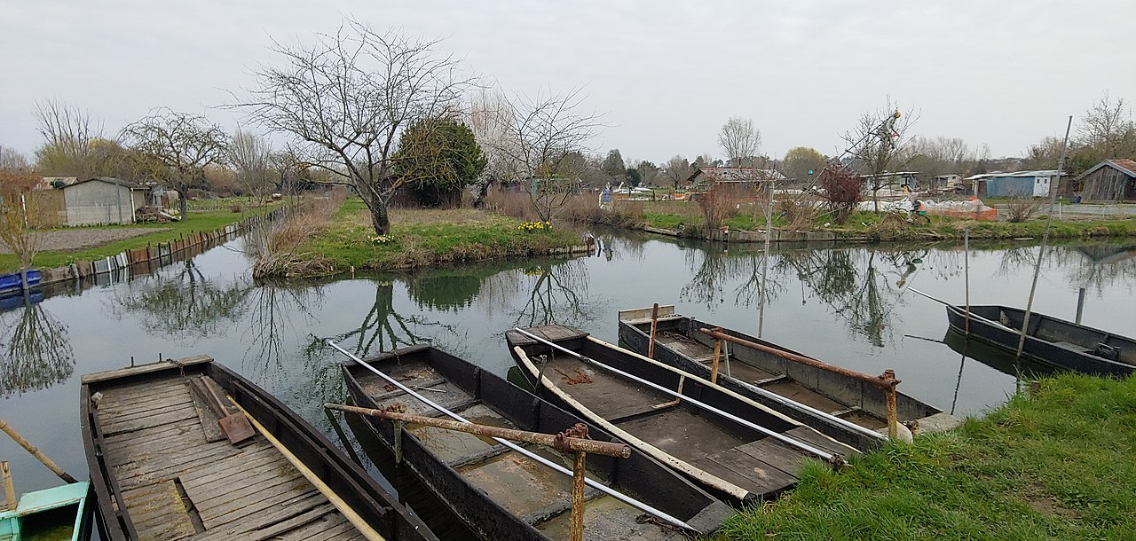
Image credit: Image: Bruno Barral / Wikimedia Commons, CC BY-SA 4.0
France / Western Europe
Use the Bourges profile to compare cost framing, transport access, and country-level context alongside Orléans, Tours, and Clermont-Ferrand.
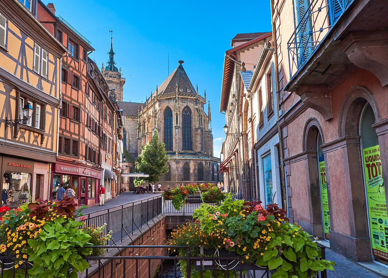
Image credit: Image: --sinava-- from Berlin / Wikimedia Commons, CC BY 2.0
France / Western Europe
Use the Colmar profile to compare cost framing, transport access, and cross-border employment context alongside Strasbourg, Mulhouse, and Besançon.

Image credit: Image: Mi.redolfi / Wikimedia Commons, CC BY 4.0
France / Western Europe
Use the Quimper profile to compare cost framing, transport access, and coastal-resilience context alongside Brest, Lorient, and Rennes.

Image credit: Image: Yuri Granata Delalibera / Wikimedia Commons, CC BY-SA 4.0
France / Western Europe
Use the Angoulême profile to compare cost framing, transport access, and country-level context alongside Bordeaux, Limoges, and Poitiers.

Image credit: Image: dynamosquito from France / Wikimedia Commons, CC BY 2.0
France / Western Europe
Use the Niort profile to compare cost framing, transport access, and country-level context alongside La Rochelle, Poitiers, and Bordeaux.

Image credit: Image: ~ / Wikimedia Commons, CC BY-SA 3.0
France / Western Europe
Use the Calais profile to compare cost framing, transport access, and coastal-resilience context alongside Dunkirk, Lille, and Le Havre.

Image credit: Image: Matthieu Debailleul / Wikimedia Commons, CC BY-SA 1.0
France / Western Europe
Use the Boulogne-sur-Mer profile to compare cost framing, transport access, and coastal-resilience context alongside Calais, Dunkirk, and Le Havre.

Image credit: Image: Diliff / Wikimedia Commons, CC BY-SA 3.0
France / Western Europe
Use the Beauvais profile to compare cost framing, transport access, and Paris-basin commuter context alongside Paris, Rouen, and Reims.
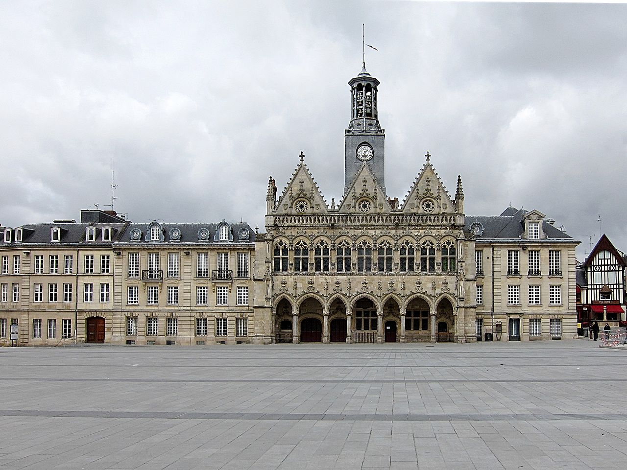
Image credit: Image: Velvet / Wikimedia Commons, CC BY-SA 3.0
France / Western Europe
Use the Saint-Quentin profile to compare cost framing, transport access, and post-industrial resilience context alongside Lille, Reims, and Valenciennes.

Image credit: Image: Thomas Bresson / Wikimedia Commons, CC BY 3.0
France / Western Europe
Use the Montbéliard profile to compare cost framing, transport access, and industrial-resilience context alongside Besançon, Mulhouse, and Dijon.

Image credit: Image: Rafi88 / Wikimedia Commons, CC BY-SA 4.0
France / Western Europe
Use the Toulon profile to compare cost framing, transport access, and coastal climate-adaptation context alongside Marseille, Nice, and Aix-en-Provence.

Image credit: Image: Roland45 / Wikimedia Commons, CC BY-SA 4.0
France / Western Europe
Use the Lens profile to compare cost framing, transport access, and post-industrial resilience context alongside Lille and other northern French cities.

Image credit: Image: Velvet / Wikimedia Commons, CC BY-SA 3.0
France / Western Europe
Use the Valenciennes profile to compare cost framing, transport access, and cross-border employment context alongside Lille and other northern French cities.

Image credit: Image: Jorge Franganillo from Barcelona, Spain / Wikimedia Commons, CC BY 2.0
France / Western Europe
Use the Mulhouse profile to compare cost framing, transport access, and cross-border employment context alongside Strasbourg, Besançon, and other Grand Est cities.

Image credit: Image: Pichasso / Wikimedia Commons, CC BY-SA 3.0
France / Western Europe
Use the Dunkirk profile to compare cost framing, transport access, and coastal-resilience context alongside Lille, Le Havre, and other northern French ports.
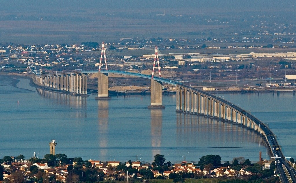
Image credit: Image: Pouick44 / Wikimedia Commons, CC BY-SA 3.0
France / Western Europe
Use the Saint-Nazaire profile to compare cost framing, transport access, and coastal-resilience context alongside Nantes, Brest, and other western French ports.
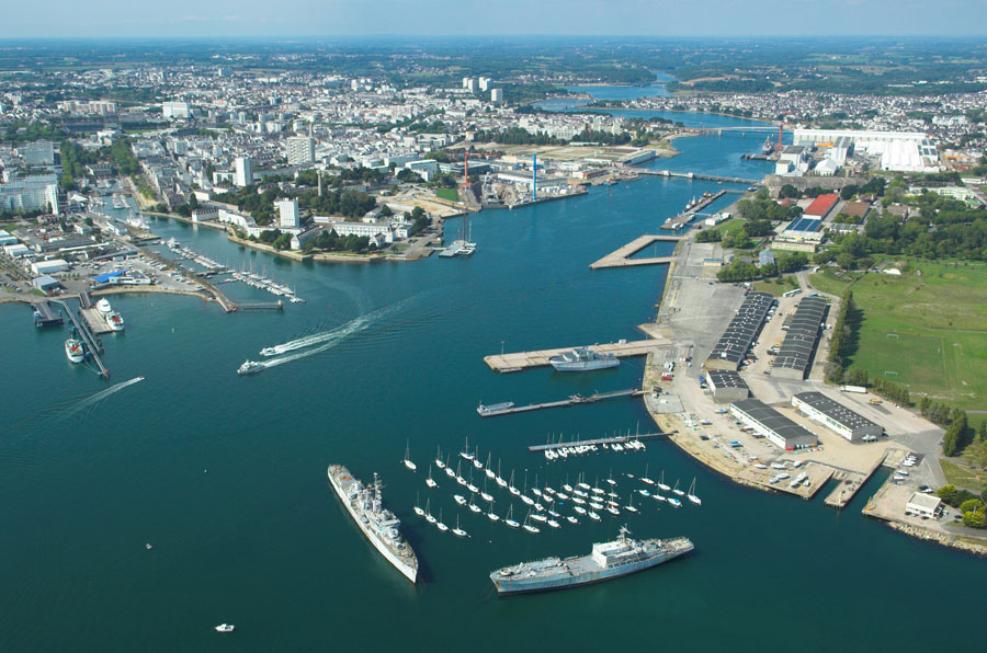
Image credit: Image: The original uploader was Jackmame at French Wikipedia. / Wikimedia Commons, CC BY-SA 2.5
France / Western Europe
Use the Lorient profile to compare cost framing, transport access, and coastal-resilience context alongside Brest, Rennes, and other Breton cities.

Image credit: Image: Jacques FORÊT :Sequajectrof / Wikimedia Commons, CC BY-SA 2.5
France / Western Europe
Use the Valence profile to compare cost framing, transport access, and country-level context alongside Lyon, Grenoble, and other Rhône-corridor cities.

Image credit: Image: Ulrich Giraud / Wikimedia Commons, CC BY-SA 3.0
France / Western Europe
Use the Troyes profile to compare cost framing, transport access, and country-level context alongside Reims, Dijon, and other Grand Est cities.

Image credit: Image: The original uploader was Graooor at French Wikipedia. / Wikimedia Commons, CC BY-SA 1.0
France / Western Europe
Use the Saint-Étienne profile to compare cost framing, transport access, and post-industrial resilience context alongside Lyon, Clermont-Ferrand, and Grenoble.

Image credit: Image: DXR / Wikimedia Commons, CC BY-SA 3.0
France / Western Europe
Use the Le Havre profile to compare cost framing, transport access, and coastal-resilience context alongside Rouen, Caen, and other northern French cities.

Image credit: Image: DXR / Wikimedia Commons, CC BY-SA 4.0
France / Western Europe
Use the Angers profile to compare cost framing, transport access, and healthcare context alongside Nantes, Tours, and Rennes.

Image credit: Image: Philippe Gisselbrecht/ Ville de Metz / Wikimedia Commons, CC BY-SA 4.0
France / Western Europe
Use the Metz profile to compare cost framing, transport access, and cross-border employment context alongside Nancy, Strasbourg, and Reims.

Image credit: Image: Anthony Bourgouin / Wikimedia Commons, CC BY-SA 4.0
France / Western Europe
Use the Orléans profile to compare cost framing, transport access, and flood-resilience context alongside Tours, Paris, and other central French cities.

Image credit: Image: Le Mans / Wikimedia Commons, CC BY 3.0
France / Western Europe
Use the Le Mans profile to compare cost framing, transport access, and country-level intelligence alongside Tours, Nantes, and Rennes.

Image credit: Image: Babsy / Wikimedia Commons, CC BY-SA 3.0
France / Western Europe
Use the Limoges profile to compare cost framing, transport access, and healthcare context alongside Clermont-Ferrand, Bordeaux, and Tours.

Image credit: Image: Yann Caradec from Paris, France / Wikimedia Commons, CC BY-SA 2.0
France / Western Europe
Paris is most interesting as a case study in converting legacy urban form into healthier, lower-emission daily life.

Image credit: Image: Otourly / Wikimedia Commons, CC BY-SA 3.0
France / Western Europe
Use the Lyon profile to compare cost framing, transport access, healthcare context, and country-level signals against other large European metros.

Image credit: Image: kallerna / Wikimedia Commons, CC BY-SA 4.0
France / Western Europe
Use the Marseille profile to compare cost framing, transport access, and heat-and-coastal resilience context alongside other Mediterranean cities.

Image credit: Image: Tonio94 / Wikimedia Commons, CC BY-SA 2.5
France / Western Europe
Use the Toulouse profile to compare cost framing, transport access, and country-level intelligence alongside Bordeaux, Lyon, and Spanish peers.

Image credit: Image: Moody Dreiza (Moody751 at English Wikipedia) / Wikimedia Commons, CC BY 2.5
France / Western Europe
Use the Nice profile to compare cost framing, transport access, and coastal-resilience signals alongside other Mediterranean cities.

Image credit: Image: Patrick Despoix / Wikimedia Commons, CC BY-SA 4.0
France / Western Europe
Use the Bordeaux profile to compare cost framing, transport access, and country-level intelligence alongside other mid-size French and Iberian cities.

Image credit: Image: Radek Kucharski / Wikimedia Commons, CC BY 2.0
France / Western Europe
Use the Strasbourg profile to compare cost framing, transport access, and country-level intelligence alongside Lyon, Frankfurt, and other Rhine metros.

Image credit: Image: Earth Science and Remote Sensing Unit, NASA Johnson Space Center / Wikimedia Commons, Public domain
France / Southern Europe
Use the Montpellier profile to compare cost framing, transport access, healthcare context, and heat-adaptation considerations alongside Lyon and Marseille.

Image credit: Image: Édouard Hue (User:EdouardHue) / Wikimedia Commons, CC BY-SA 3.0
France / Western Europe
Use the Rennes profile to compare cost framing, transport access, and country-level context alongside other French regional capitals.

Image credit: Image: Brücke-Osteuropa / Wikimedia Commons, Public domain
France / Western Europe
Use the Grenoble profile to compare cost framing, transport access, air-quality context, and country-level intelligence alongside Lyon and other Alpine peers.

Image credit: Image: Christophe.Finot / Wikimedia Commons, CC BY-SA 2.5
France / Western Europe
Use the Dijon profile to compare cost framing, transport access, and country-level context alongside other French regional metros.

Image credit: Image: Georges Seguin (Okki) / Wikimedia Commons, CC BY-SA 4.0
France / Southern Europe
Use the Aix-en-Provence profile to compare cost framing, transport access, and country-level Mediterranean context alongside Marseille and Nice.

Image credit: Image: Skimel / Wikimedia Commons, CC BY-SA 4.0
France / Western Europe
Use this record as a regional planning anchor while deeper source integration is pending. Verify access, transport, and seasonal context with official sources before relying on the page for travel decisions.

Image credit: Image: Velvet / Wikimedia Commons, CC BY-SA 3.0
France / Western Europe
Use this record as a regional planning anchor while deeper source integration is pending. Verify access, transport, and seasonal context with official sources before relying on the page for travel decisions.

Image credit: Image: Rémih / Wikimedia Commons, CC BY-SA 4.0
France / Western Europe
Use this record as a regional planning anchor while deeper source integration is pending. Verify access, transport, and seasonal context with official sources before relying on the page for travel decisions.

Image credit: Image: MathKnight and contributors (Bodoklecksel, Vassil, Calvin Kramer, Garitan, Diliff, DXR) / Wikimedia Commons, CC BY-SA 4.0
France / Western Europe
Use this record as a regional planning anchor while deeper source integration is pending. Verify access, transport, and seasonal context with official sources before relying on the page for travel decisions.

Image credit: Image: Szilas / Wikimedia Commons, CC BY 4.0
France / Western Europe
Use this record as a regional planning anchor while deeper source integration is pending. Verify access, transport, and seasonal context with official sources before relying on the page for travel decisions.

Image credit: Image: Yves LC / Wikimedia Commons, CC BY-SA 3.0
France / Auvergne-Rhône-Alpes
Use this record as a planning anchor for local-first research and nearby weekend-rest discovery, verifying access, transport, and seasonal context with official sources.

Image credit: Image: Jean-Marc Rosier (de/from http://www.cjrosier.com + http://www.gordes-immobilier.com) / Wikimedia Commons, CC BY-SA 3.0
France / Provence-Alpes-Côte d'Azur
Use this record as a planning anchor for local-first research and nearby weekend-rest discovery, verifying access, transport, and seasonal context with official sources.

Image credit: Image: Parsifall / Wikimedia Commons, CC BY-SA 3.0
France / Grand Est
Use this record as a planning anchor for local-first research and nearby weekend-rest discovery, verifying access, transport, and seasonal context with official sources.

Image credit: Image: Remi Jouan / Wikimedia Commons, CC BY-SA 3.0
France / Nouvelle-Aquitaine
Use this record as a planning anchor for local-first research and nearby weekend-rest discovery, verifying access, transport, and seasonal context with official sources.
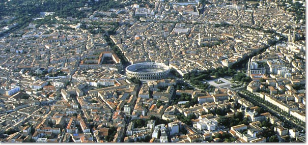
Image credit: Image: Ncadene~commonswiki / Wikimedia Commons, CC BY-SA 3.0
France / Occitanie
Use this record as a planning anchor for local-first research and nearby weekend-rest discovery, verifying access, transport, and seasonal context with official sources.

Image credit: Image: bebatut / Wikimedia Commons, CC BY-SA 2.0
France / Auvergne-Rhône-Alpes
Use this record as a planning anchor for local-first research and nearby weekend-rest discovery, verifying access, transport, and seasonal context with official sources.

Image credit: Image: Florian Pépellin / Wikimedia Commons, CC BY-SA 3.0
France / Savoie, Auvergne-Rhône-Alpes
Treat this record as a planning anchor for local-first research and nearby weekend-rest discovery, verifying access, transport, and seasonal details with official sources.

Image credit: Image: Trutat, Eugène (1840-1910). Photographe / Wikimedia Commons, Public domain
France / Pyrénées-Atlantiques, Nouvelle-Aquitaine
Treat this record as a planning anchor for local-first research and nearby weekend-rest discovery, verifying access, transport, and seasonal details with official sources.

Image credit: Image: Wikipedro / Wikimedia Commons, CC BY-SA 4.0
France / Doubs, Bourgogne-Franche-Comté
Treat this record as a planning anchor for local-first research and nearby weekend-rest discovery, verifying access, transport, and seasonal details with official sources.

Image credit: Image: Daniel VILLAFRUELA / Wikimedia Commons, CC BY-SA 3.0
France / Pyrénées-Atlantiques, Nouvelle-Aquitaine
Treat this record as a planning anchor for local-first research and nearby weekend-rest discovery, verifying access, transport, and seasonal details with official sources.

Image credit: Image: Thesupermat / Wikimedia Commons, CC BY-SA 3.0
France / Finistère, Brittany
Treat this record as a planning anchor for local-first research and nearby weekend-rest discovery, verifying access, transport, and seasonal details with official sources.
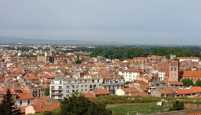
Image credit: Image: Jean Tosti / Wikimedia Commons, Public domain
France / Pyrénées-Orientales, Occitania
Treat this record as a planning anchor for local-first research and nearby weekend-rest discovery, verifying access, transport, and seasonal details with official sources.

Image credit: Image: Roi.dagobert / Wikimedia Commons, CC BY-SA 3.0
France / Calvados, Normandy
Treat this record as a planning anchor for local-first research and nearby weekend-rest discovery, verifying access, transport, and seasonal details with official sources.

Image credit: Image: Wikimedia Commons contributor / Wikimedia Commons, CC BY-SA 2.5
France / Western Europe
Use the Villeurbanne profile to compare affordability, livability, and economic indicators against other indexed cities in France and across Western Europe, and to explore nearby nature and weekend destinations.
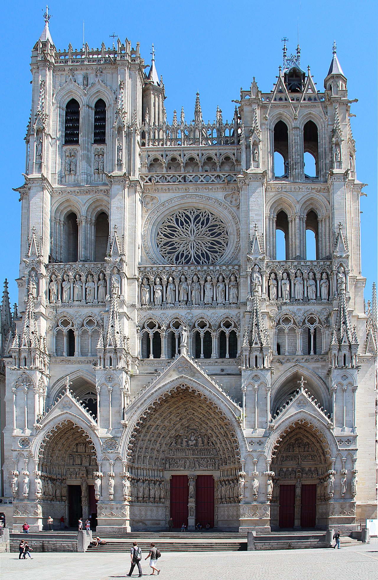
Image credit: Image: Jean-Pol GRANDMONT / Wikimedia Commons, CC BY 3.0
France / Western Europe
Use the Amiens profile to compare affordability, livability, and economic indicators against other indexed cities in France and across Western Europe, and to explore nearby nature and weekend destinations.

Image credit: Image: Chabe01 / Wikimedia Commons, CC BY-SA 4.0
France / Western Europe
Use the Boulogne-Billancourt profile to compare affordability, livability, and economic indicators against other indexed cities in France and across Western Europe, and to explore nearby nature and weekend destinations.

Image credit: Image: Velvet / Wikimedia Commons, CC BY-SA 3.0
France / Western Europe
Use the Tourcoing profile to compare affordability, livability, and economic indicators against other indexed cities in France and across Western Europe, and to explore nearby nature and weekend destinations.

Image credit: Image: Mairie de roubaix / Wikimedia Commons, CC BY-SA 3.0
France / Western Europe
Use the Roubaix profile to compare affordability, livability, and economic indicators against other indexed cities in France and across Western Europe, and to explore nearby nature and weekend destinations.

Image credit: Image: Benjamin Smith / Wikimedia Commons, CC BY-SA 3.0
France / Western Europe
Use the Nanterre profile to compare affordability, livability, and economic indicators against other indexed cities in France and across Western Europe, and to explore nearby nature and weekend destinations.

Image credit: Image: Chabe01 / Wikimedia Commons, CC BY-SA 4.0
France / Western Europe
Use the Vitry-sur-Seine profile to compare affordability, livability, and economic indicators against other indexed cities in France and across Western Europe, and to explore nearby nature and weekend destinations.

Image credit: Image: Suaudeau / Wikimedia Commons, CC BY-SA 4.0
France / Western Europe
Use the Créteil profile to compare affordability, livability, and economic indicators against other indexed cities in France and across Western Europe, and to explore nearby nature and weekend destinations.

Image credit: Image: Chabe01 / Wikimedia Commons, CC BY-SA 4.0
France / Western Europe
Use the Colombes profile to compare affordability, livability, and economic indicators against other indexed cities in France and across Western Europe, and to explore nearby nature and weekend destinations.

Image credit: Image: Pymouss44 / Wikimedia Commons, CC BY-SA 3.0
France / Western Europe
Use the Rueil-Malmaison profile to compare affordability, livability, and economic indicators against other indexed cities in France and across Western Europe, and to explore nearby nature and weekend destinations.

Image credit: Image: Selbymay / Wikimedia Commons, CC BY-SA 3.0
France / Western Europe
Use the Cholet profile to compare affordability, livability, and economic indicators against other indexed cities in France and across Western Europe, and to explore nearby nature and weekend destinations.

Image credit: Image: Diliff / Wikimedia Commons, CC BY-SA 3.0
France / Western Europe
Use the Blois profile to compare affordability, livability, and economic indicators against other indexed cities in France and across Western Europe, and to explore nearby nature and weekend destinations.

Image credit: Image: Tadeo59370 / Wikimedia Commons, CC BY-SA 3.0
France / Western Europe
Use the Wattrelos profile to compare affordability, livability, and economic indicators against other indexed cities in France and across Western Europe, and to explore nearby nature and weekend destinations.

Image credit: Image: Alvar Lavague / Wikimedia Commons, CC BY 3.0
France / Western Europe
Use the Cergy-Pontoise profile to compare affordability, livability, and economic indicators against other indexed cities in France and across Western Europe, and to explore nearby nature and weekend destinations.

Image credit: Image: Claude Shoshany / Wikimedia Commons, CC BY 2.5
France / Western Europe
Use the Saint-Denis profile to compare affordability, livability, and economic indicators against other indexed cities in France and across Western Europe, and to explore nearby nature and weekend destinations.

Image credit: Image: Chabe01 / Wikimedia Commons, CC BY-SA 4.0
France / Western Europe
Use the Montreuil profile to compare affordability, livability, and economic indicators against other indexed cities in France and across Western Europe, and to explore nearby nature and weekend destinations.

Image credit: Image: Remi Jouan / Wikimedia Commons, CC BY-SA 3.0
France / Western Europe
Use the Argenteuil profile to compare affordability, livability, and economic indicators against other indexed cities in France and across Western Europe, and to explore nearby nature and weekend destinations.

Image credit: Image: Jeanne Menjoulet / Wikimedia Commons, CC BY 2.0
France / Western Europe
Use the La Ciotat profile to compare affordability, livability, and economic indicators against other indexed cities in France and across Western Europe, and to explore nearby nature and weekend destinations.

Image credit: Image: Pierre Poschadel / Wikimedia Commons, CC BY-SA 4.0
France / Western Europe
Use the Tremblay-en-France profile to compare affordability, livability, and economic indicators against other indexed cities in France and across Western Europe, and to explore nearby nature and weekend destinations.

Image credit: Image: Jpgross / Wikimedia Commons, Public domain
France / Western Europe
Use the Menton profile to compare affordability, livability, and economic indicators against other indexed cities in France and across Western Europe, and to explore nearby nature and weekend destinations.

Image credit: Image: Millevylle.steven / Wikimedia Commons, CC BY-SA 3.0
France / Western Europe
Use the Armentières profile to compare affordability, livability, and economic indicators against other indexed cities in France and across Western Europe, and to explore nearby nature and weekend destinations.

Image credit: Image: Martin Falbisoner / Wikimedia Commons, CC BY-SA 3.0
France / Western Europe
Use the Saumur profile to compare affordability, livability, and economic indicators against other indexed cities in France and across Western Europe, and to explore nearby nature and weekend destinations.

Image credit: Image: Pymouss44 / Wikimedia Commons, CC BY-SA 3.0
France / Western Europe
Use the Vertou profile to compare affordability, livability, and economic indicators against other indexed cities in France and across Western Europe, and to explore nearby nature and weekend destinations.

Image credit: Image: Jean-Christophe Destailleur / Wikimedia Commons, CC BY-SA 3.0
France / Western Europe
Use the Halluin profile to compare affordability, livability, and economic indicators against other indexed cities in France and across Western Europe, and to explore nearby nature and weekend destinations.

Image credit: Image: Pepie34 / Wikimedia Commons, CC BY-SA 2.0 fr
France / Western Europe
Use the La Chapelle-sur-Erdre profile to compare affordability, livability, and economic indicators against other indexed cities in France and across Western Europe, and to explore nearby nature and weekend destinations.

Image credit: Image: Bouguenaiscom / Wikimedia Commons, CC BY-SA 4.0
France / Western Europe
Use the Bouguenais profile to compare affordability, livability, and economic indicators against other indexed cities in France and across Western Europe, and to explore nearby nature and weekend destinations.

Image credit: Image: Office de Tourisme de Sarreguemines / Wikimedia Commons, CC BY-SA 3.0
France / Western Europe
Use the Sarreguemines profile to compare affordability, livability, and economic indicators against other indexed cities in France and across Western Europe, and to explore nearby nature and weekend destinations.

Image credit: Image: Harrieta171 / Wikimedia Commons, CC BY 2.5
France / Western Europe
Use the Hendaye profile to compare affordability, livability, and economic indicators against other indexed cities in France and across Western Europe, and to explore nearby nature and weekend destinations.

Image credit: Image: Rehtse / Wikimedia Commons, CC BY-SA 3.0
France / Western Europe
Use the Sainte-Luce-sur-Loire profile to compare affordability, livability, and economic indicators against other indexed cities in France and across Western Europe, and to explore nearby nature and weekend destinations.

Image credit: Image: ToucanWings / Wikimedia Commons, CC BY-SA 3.0
France / Western Europe
Use the Versailles profile to compare affordability, livability, and economic indicators against other indexed cities in France and across Western Europe, and to explore nearby nature and weekend destinations.

Image credit: Image: Christian Amet / Wikimedia Commons, CC BY 2.5
France / Western Europe
Use the Saint-Dié-des-Vosges profile to compare affordability, livability, and economic indicators against other indexed cities in France and across Western Europe, and to explore nearby nature and weekend destinations.

Image credit: Image: Jiel Beaumadier / Wikimedia Commons, CC BY-SA 3.0
France / Western Europe
Use the Villeneuve-d'Ascq profile to compare affordability, livability, and economic indicators against other indexed cities in France and across Western Europe, and to explore nearby nature and weekend destinations.

Image credit: Image: Steffen Heilfort / Wikimedia Commons, CC BY-SA 3.0
France / Western Europe
Use the Arles profile to compare affordability, livability, and economic indicators against other indexed cities in France and across Western Europe, and to explore nearby nature and weekend destinations.

Image credit: Image: Ludvig14 / Wikimedia Commons, CC BY-SA 4.0
France / Western Europe
Use the Chartres profile to compare affordability, livability, and economic indicators against other indexed cities in France and across Western Europe, and to explore nearby nature and weekend destinations.

Image credit: Image: Chabe01 / Wikimedia Commons, CC BY-SA 3.0
France / Western Europe
Use the Bourg-en-Bresse profile to compare affordability, livability, and economic indicators against other indexed cities in France and across Western Europe, and to explore nearby nature and weekend destinations.

Image credit: Image: Ad Meskens / Wikimedia Commons, CC BY-SA 3.0
France / Western Europe
Use the Charleville-Mézières profile to compare affordability, livability, and economic indicators against other indexed cities in France and across Western Europe, and to explore nearby nature and weekend destinations.

Image credit: Image: Celette / Wikimedia Commons, CC BY-SA 3.0
France / Western Europe
Use the Neuilly-sur-Seine profile to compare affordability, livability, and economic indicators against other indexed cities in France and across Western Europe, and to explore nearby nature and weekend destinations.

Image credit: Image: jean-louis Zimmermann / Wikimedia Commons, CC BY 2.0
France / Western Europe
Use the Vichy profile to compare affordability, livability, and economic indicators against other indexed cities in France and across Western Europe, and to explore nearby nature and weekend destinations.

Image credit: Image: Zairon / Wikimedia Commons, CC BY-SA 4.0
France / Western Europe
Use the Auxerre profile to compare affordability, livability, and economic indicators against other indexed cities in France and across Western Europe, and to explore nearby nature and weekend destinations.
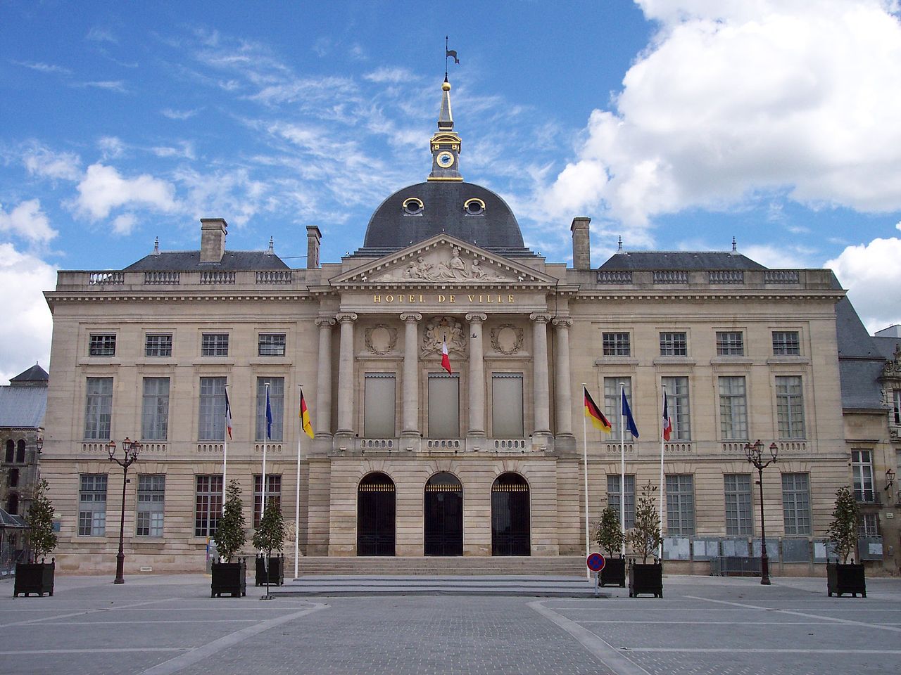
Image credit: Image: TitTornade / Wikimedia Commons, CC BY-SA 3.0
France / Western Europe
Use the Châlons-en-Champagne profile to compare affordability, livability, and economic indicators against other indexed cities in France and across Western Europe, and to explore nearby nature and weekend destinations.
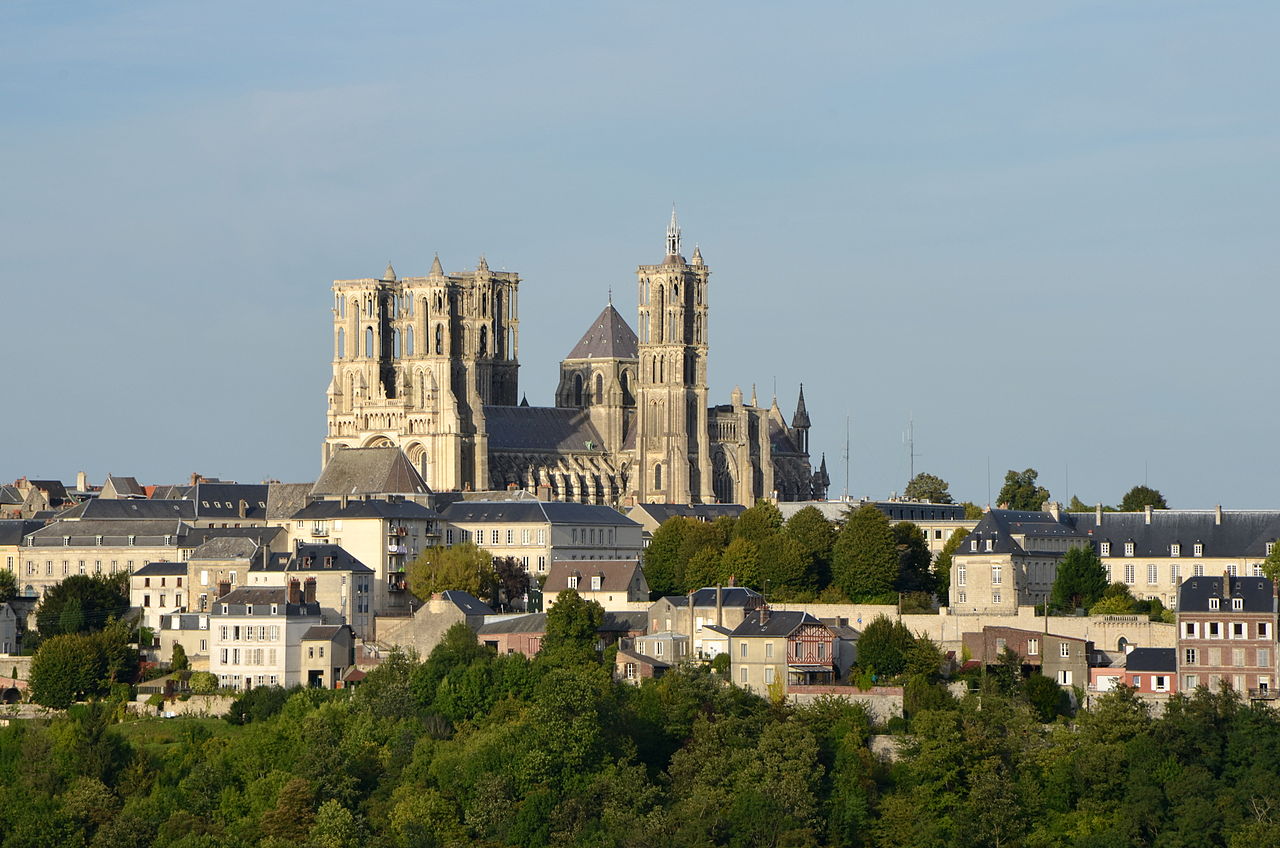
Image credit: Image: Pline / Wikimedia Commons, CC BY-SA 3.0
France / Western Europe
Use the Laon profile to compare affordability, livability, and economic indicators against other indexed cities in France and across Western Europe, and to explore nearby nature and weekend destinations.

Image credit: Image: Olivier Cleynen / Wikimedia Commons, CC BY 4.0
France / Western Europe
Use the Grasse profile to compare affordability, livability, and economic indicators against other indexed cities in France and across Western Europe, and to explore nearby nature and weekend destinations.
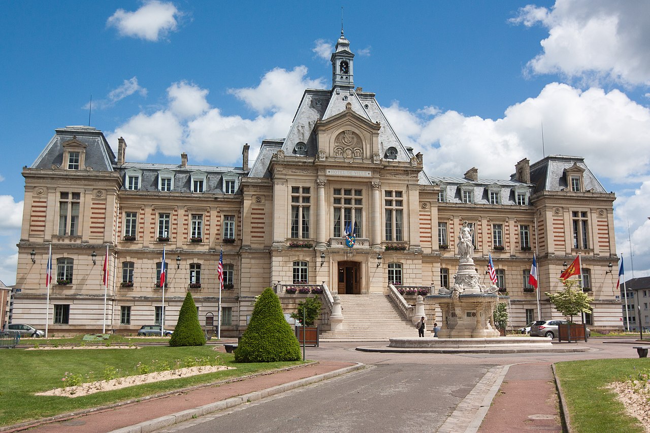
Image credit: Image: Poudou99 / Wikimedia Commons, CC BY-SA 4.0
France / Western Europe
Use the Évreux profile to compare affordability, livability, and economic indicators against other indexed cities in France and across Western Europe, and to explore nearby nature and weekend destinations.

Image credit: Image: Presko / Wikimedia Commons, CC BY-SA 4.0
France / Western Europe
Use the Saint-Brieuc profile to compare affordability, livability, and economic indicators against other indexed cities in France and across Western Europe, and to explore nearby nature and weekend destinations.

Image credit: Image: Clicsouris / Wikimedia Commons, CC BY-SA 2.5
France / Western Europe
Use the Courbevoie profile to compare affordability, livability, and economic indicators against other indexed cities in France and across Western Europe, and to explore nearby nature and weekend destinations.
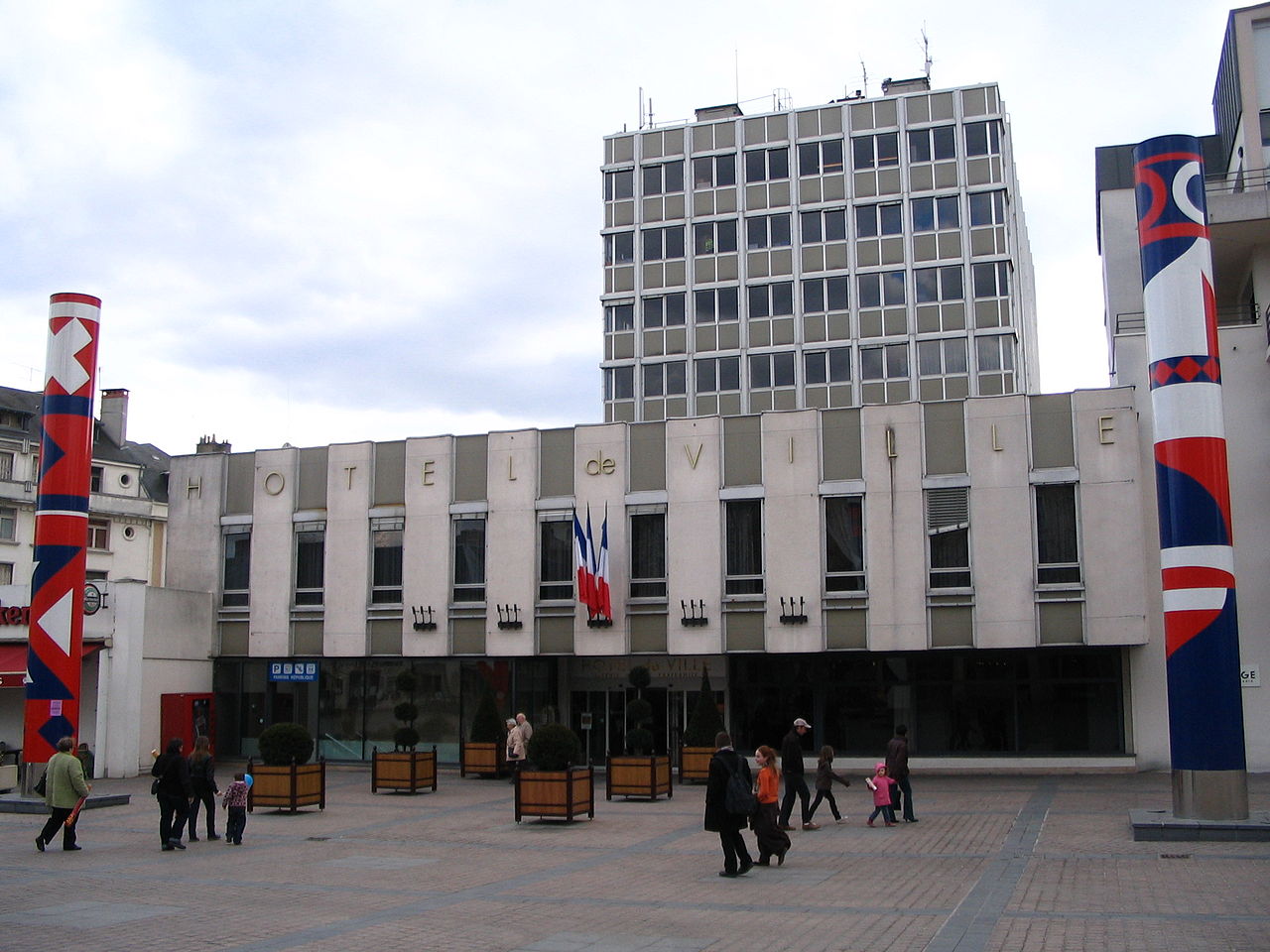
Image credit: Image: Benjism89 ( talk · contribs ) / Wikimedia Commons, CC BY-SA 3.0
France / Western Europe
Use the Châteauroux profile to compare affordability, livability, and economic indicators against other indexed cities in France and across Western Europe, and to explore nearby nature and weekend destinations.
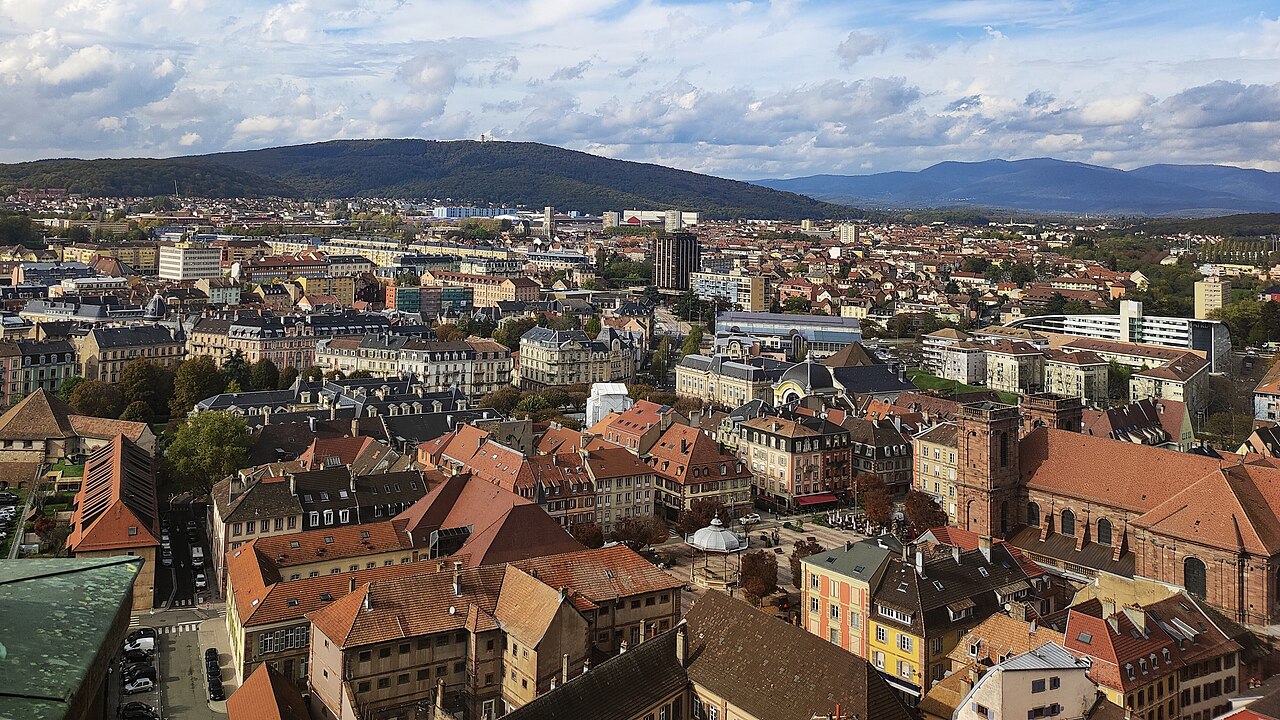
Image credit: Image: P-90 / Wikimedia Commons, CC0
France / Western Europe
Use the Belfort profile to compare affordability, livability, and economic indicators against other indexed cities in France and across Western Europe, and to explore nearby nature and weekend destinations.

Image credit: Image: Copyleft / Wikimedia Commons, CC BY-SA 3.0
France / Western Europe
Use the Suresnes profile to compare affordability, livability, and economic indicators against other indexed cities in France and across Western Europe, and to explore nearby nature and weekend destinations.

Image credit: Image: Baidax / Wikimedia Commons, CC BY-SA 4.0
France / Western Europe
Use the Compiègne profile to compare affordability, livability, and economic indicators against other indexed cities in France and across Western Europe, and to explore nearby nature and weekend destinations.
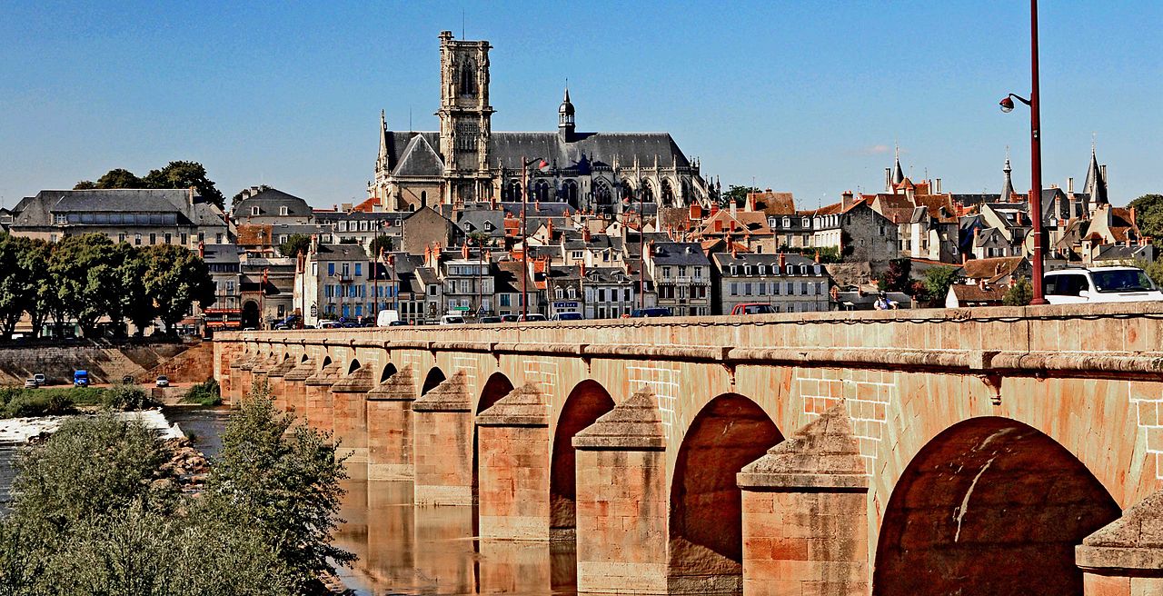
Image credit: Image: Original / Wikimedia Commons, CC BY-SA 3.0
France / Western Europe
Use the Nevers profile to compare affordability, livability, and economic indicators against other indexed cities in France and across Western Europe, and to explore nearby nature and weekend destinations.
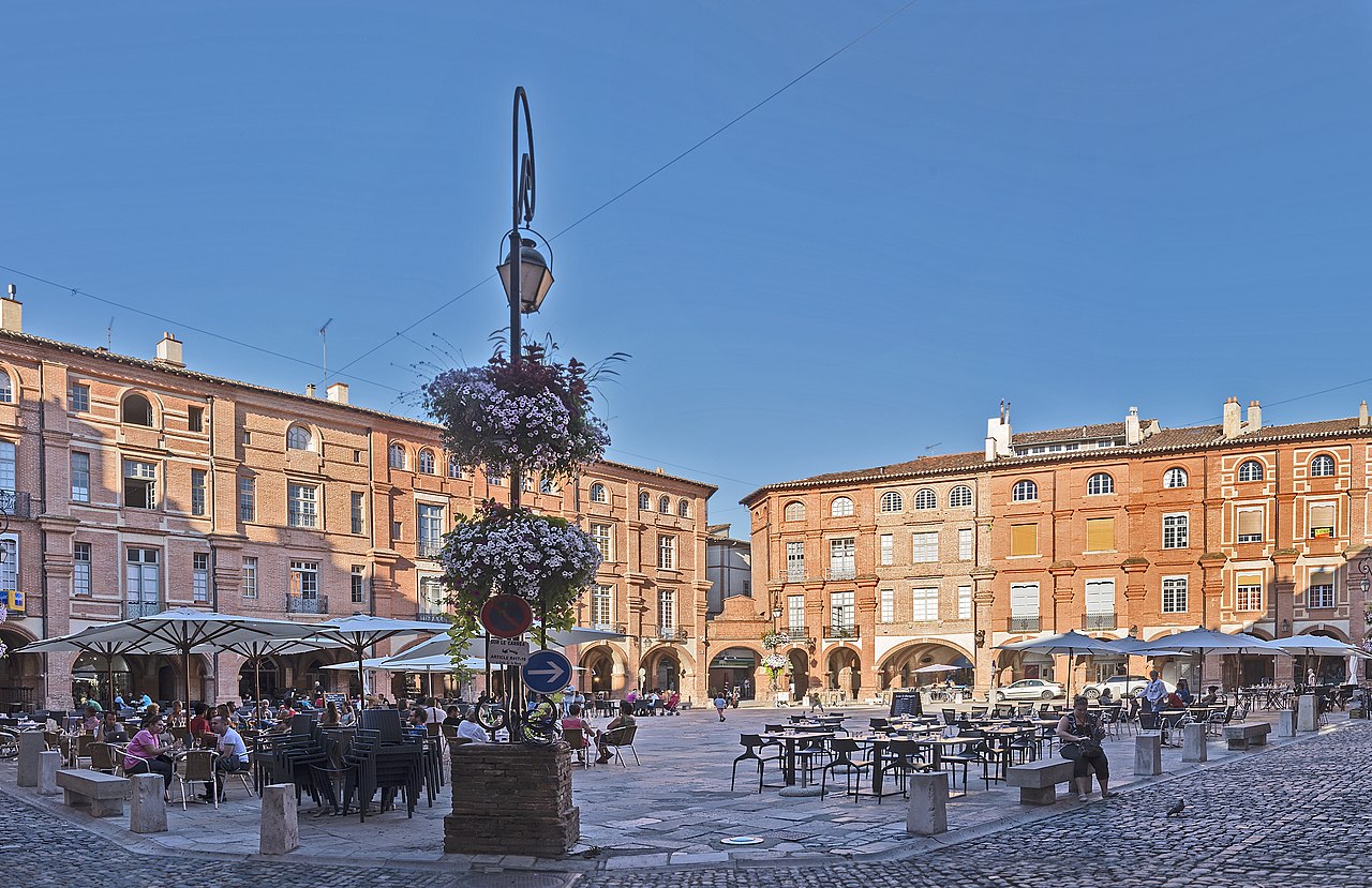
Image credit: Image: Didier Descouens / Wikimedia Commons, CC BY-SA 4.0
France / Western Europe
Use the Montauban profile to compare affordability, livability, and economic indicators against other indexed cities in France and across Western Europe, and to explore nearby nature and weekend destinations.

Image credit: Image: JackyM59 / Wikimedia Commons, CC BY-SA 4.0
France / Western Europe
Use the Cambrai profile to compare affordability, livability, and economic indicators against other indexed cities in France and across Western Europe, and to explore nearby nature and weekend destinations.

Image credit: Image: Baidax / Wikimedia Commons, CC BY-SA 4.0
France / Western Europe
Use the Dieppe profile to compare affordability, livability, and economic indicators against other indexed cities in France and across Western Europe, and to explore nearby nature and weekend destinations.

Image credit: Image: Benjamin Smith / Wikimedia Commons, CC BY-SA 4.0
France / Western Europe
Use the Brive-la-Gaillarde profile to compare affordability, livability, and economic indicators against other indexed cities in France and across Western Europe, and to explore nearby nature and weekend destinations.

Image credit: Image: Bubudu57 / Wikimedia Commons, CC BY-SA 3.0
France / Western Europe
Use the Thionville profile to compare affordability, livability, and economic indicators against other indexed cities in France and across Western Europe, and to explore nearby nature and weekend destinations.
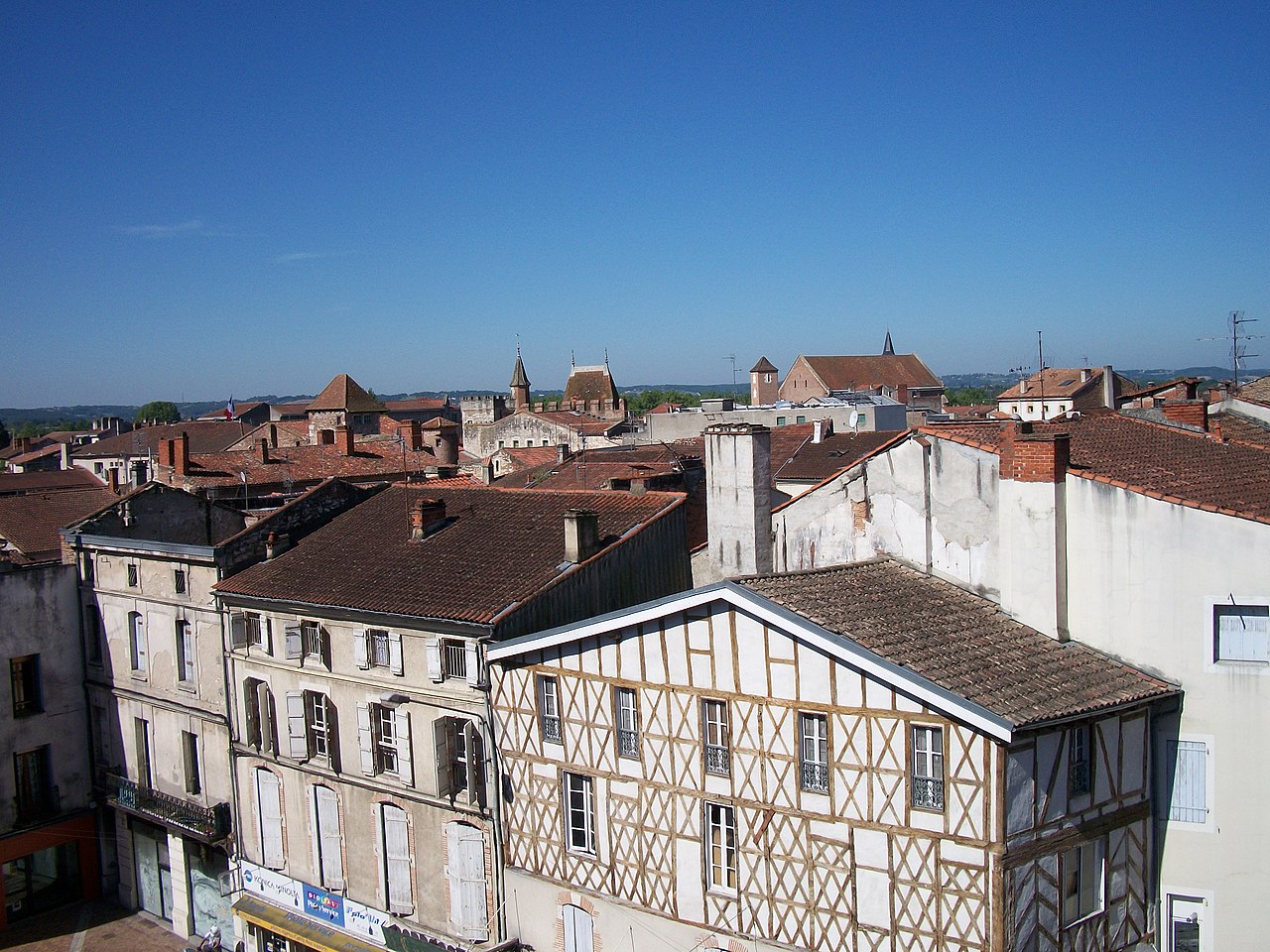
Image credit: Image: Florent Pécassou / Wikimedia Commons, CC BY-SA 3.0
France / Western Europe
Use the Agen profile to compare affordability, livability, and economic indicators against other indexed cities in France and across Western Europe, and to explore nearby nature and weekend destinations.
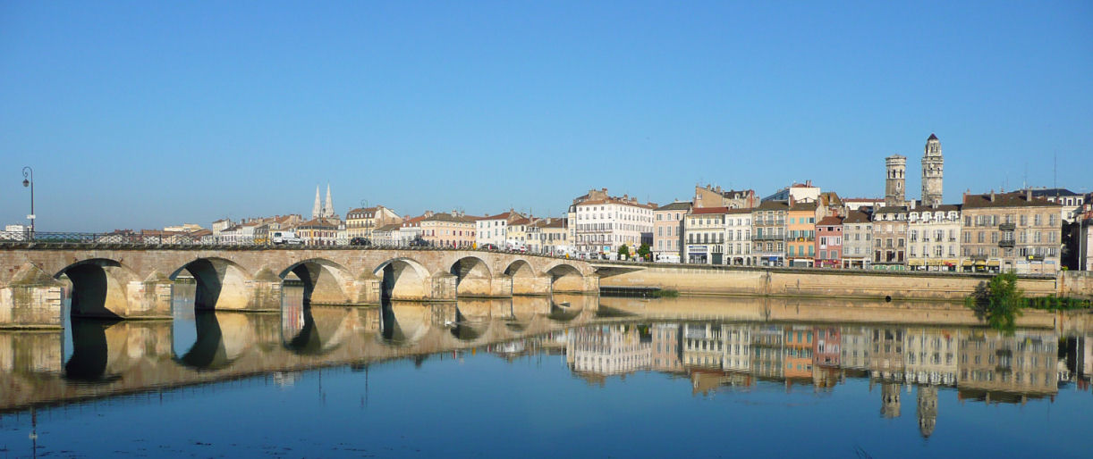
Image credit: Image: Luciani71 / Wikimedia Commons, CC BY-SA 3.0
France / Western Europe
Use the Mâcon profile to compare affordability, livability, and economic indicators against other indexed cities in France and across Western Europe, and to explore nearby nature and weekend destinations.

Image credit: Image: Christian Ferrer / Wikimedia Commons, CC BY-SA 3.0
France / Western Europe
Use the Sète profile to compare affordability, livability, and economic indicators against other indexed cities in France and across Western Europe, and to explore nearby nature and weekend destinations.
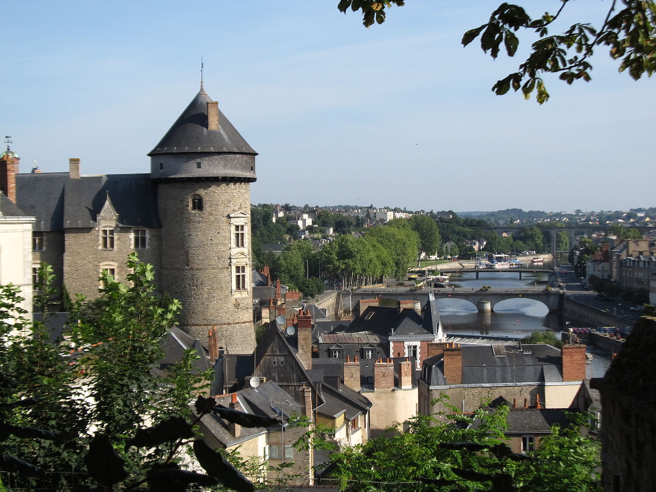
Image credit: Image: Celeste (permission given to User:Oie blanche ) / Wikimedia Commons, CC BY 3.0
France / Western Europe
Use the Laval profile to compare affordability, livability, and economic indicators against other indexed cities in France and across Western Europe, and to explore nearby nature and weekend destinations.

Image credit: Image: Brumathechec / Wikimedia Commons, CC BY-SA 4.0
France / Western Europe
Use the Asnières-sur-Seine profile to compare affordability, livability, and economic indicators against other indexed cities in France and across Western Europe, and to explore nearby nature and weekend destinations.

Image credit: Image: Chabe01 / Wikimedia Commons, CC BY-SA 4.0
France / Western Europe
Use the Saint-Germain-en-Laye profile to compare affordability, livability, and economic indicators against other indexed cities in France and across Western Europe, and to explore nearby nature and weekend destinations.

Image credit: Image: Le corrigateur / Wikimedia Commons, CC BY-SA 4.0
France / Western Europe
Use the Gap profile to compare affordability, livability, and economic indicators against other indexed cities in France and across Western Europe, and to explore nearby nature and weekend destinations.

Image credit: Image: Benjamin Smith / Wikimedia Commons, CC BY-SA 4.0
France / Western Europe
Use the Périgueux profile to compare affordability, livability, and economic indicators against other indexed cities in France and across Western Europe, and to explore nearby nature and weekend destinations.
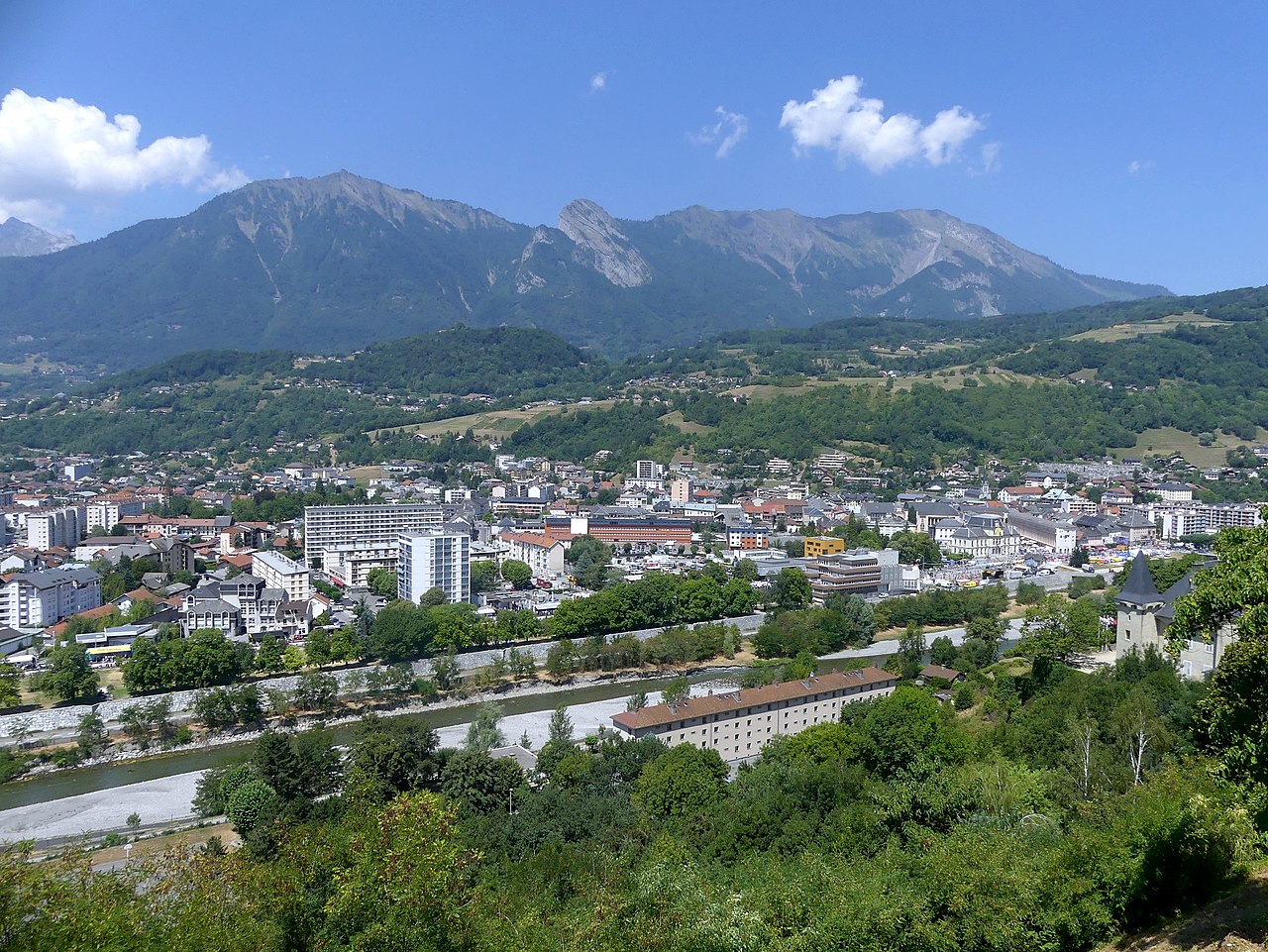
Image credit: Image: Florian Pépellin / Wikimedia Commons, CC BY-SA 4.0
France / Western Europe
Use the Albertville profile to compare affordability, livability, and economic indicators against other indexed cities in France and across Western Europe, and to explore nearby nature and weekend destinations.

Image credit: Image: Paolo Carnassale / Wikimedia Commons, CC BY-SA 3.0
France / Western Europe
Use the Alençon profile to compare affordability, livability, and economic indicators against other indexed cities in France and across Western Europe, and to explore nearby nature and weekend destinations.

Image credit: Image: ArKaNuM / Wikimedia Commons, CC BY-SA 3.0
France / Western Europe
Use the Épinal profile to compare affordability, livability, and economic indicators against other indexed cities in France and across Western Europe, and to explore nearby nature and weekend destinations.

Image credit: Image: B.navez / Wikimedia Commons, CC BY-SA 3.0
France / Western Europe
Use the Aurillac profile to compare affordability, livability, and economic indicators against other indexed cities in France and across Western Europe, and to explore nearby nature and weekend destinations.

Image credit: Image: JackyM59 / Wikimedia Commons, CC BY-SA 4.0
France / Western Europe
Use the Douai profile to compare affordability, livability, and economic indicators against other indexed cities in France and across Western Europe, and to explore nearby nature and weekend destinations.
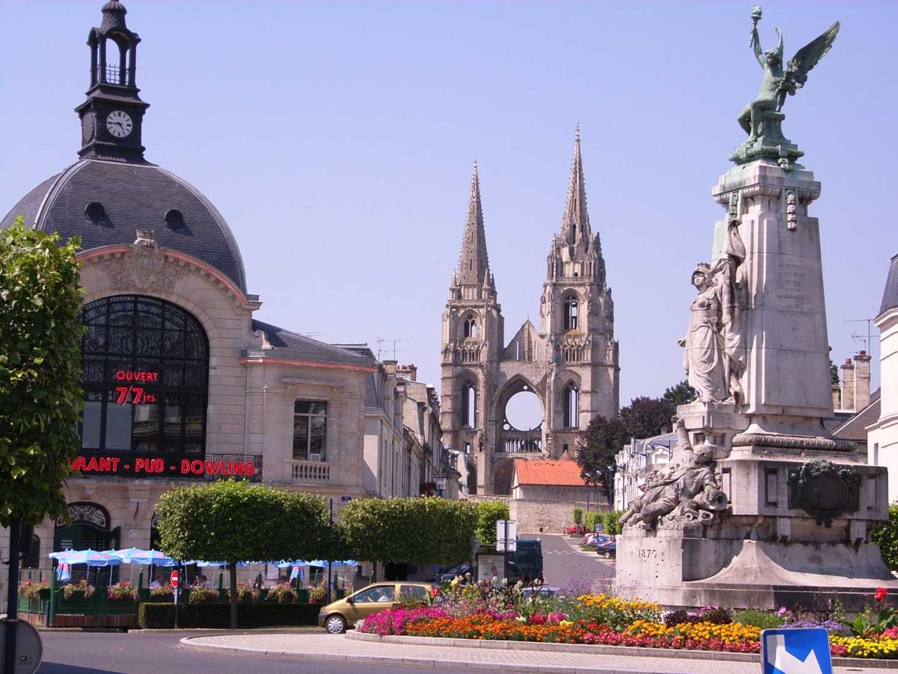
Image credit: Image: bodoklecksel / Wikimedia Commons, CC BY-SA 3.0
France / Western Europe
Use the Soissons profile to compare affordability, livability, and economic indicators against other indexed cities in France and across Western Europe, and to explore nearby nature and weekend destinations.

Image credit: Image: Tournasol7 / Wikimedia Commons, CC BY 4.0
France / Western Europe
Use the Haguenau profile to compare affordability, livability, and economic indicators against other indexed cities in France and across Western Europe, and to explore nearby nature and weekend destinations.

Image credit: Image: MartinD / Wikimedia Commons, CC BY-SA 4.0
France / Western Europe
Use the Alès profile to compare affordability, livability, and economic indicators against other indexed cities in France and across Western Europe, and to explore nearby nature and weekend destinations.

Image credit: Image: Ludo33 / Wikimedia Commons, CC BY-SA 3.0
France / Western Europe
Use the La Roche-sur-Yon profile to compare affordability, livability, and economic indicators against other indexed cities in France and across Western Europe, and to explore nearby nature and weekend destinations.

Image credit: Image: Lionel Allorge / Wikimedia Commons, CC BY-SA 3.0
France / Western Europe
Use the Antony profile to compare affordability, livability, and economic indicators against other indexed cities in France and across Western Europe, and to explore nearby nature and weekend destinations.

Image credit: Image: Gzen92 / Wikimedia Commons, CC BY-SA 4.0
France / Western Europe
Use the Abbeville profile to compare affordability, livability, and economic indicators against other indexed cities in France and across Western Europe, and to explore nearby nature and weekend destinations.

Image credit: Image: Benjamin Smith / Wikimedia Commons, CC BY-SA 4.0
France / Western Europe
Use the Chalon-sur-Saône profile to compare affordability, livability, and economic indicators against other indexed cities in France and across Western Europe, and to explore nearby nature and weekend destinations.

Image credit: Image: Olivier Cleynen / Wikimedia Commons, CC BY 4.0
France / Western Europe
Use the Cagnes-sur-Mer profile to compare affordability, livability, and economic indicators against other indexed cities in France and across Western Europe, and to explore nearby nature and weekend destinations.

Image credit: Image: Tej / Wikimedia Commons, CC BY-SA 3.0
France / Western Europe
Use the Melun profile to compare affordability, livability, and economic indicators against other indexed cities in France and across Western Europe, and to explore nearby nature and weekend destinations.

Image credit: Image: Cavit / Wikimedia Commons, CC BY 4.0
France / Western Europe
Use the Vienne profile to compare affordability, livability, and economic indicators against other indexed cities in France and across Western Europe, and to explore nearby nature and weekend destinations.

Image credit: Image: Chabe01 / Wikimedia Commons, CC BY-SA 4.0
France / Western Europe
Use the Levallois-Perret profile to compare affordability, livability, and economic indicators against other indexed cities in France and across Western Europe, and to explore nearby nature and weekend destinations.

Image credit: Image: Chabe01 / Wikimedia Commons, CC BY-SA 4.0
France / Western Europe
Use the Aubervilliers profile to compare affordability, livability, and economic indicators against other indexed cities in France and across Western Europe, and to explore nearby nature and weekend destinations.

Image credit: Image: Baidax / Wikimedia Commons, CC BY-SA 4.0
France / Western Europe
Use the Meaux profile to compare affordability, livability, and economic indicators against other indexed cities in France and across Western Europe, and to explore nearby nature and weekend destinations.

Image credit: Image: This / Wikimedia Commons, CC BY-SA 3.0
France / Western Europe
Use the Metropolis of Lyon profile to compare affordability, livability, and economic indicators against other indexed cities in France and across Western Europe, and to explore nearby nature and weekend destinations.

Image credit: Image: Chabe01 / Wikimedia Commons, CC BY-SA 4.0
France / Western Europe
Use the Clamart profile to compare affordability, livability, and economic indicators against other indexed cities in France and across Western Europe, and to explore nearby nature and weekend destinations.

Image credit: Image: Clicsouris / Wikimedia Commons, CC BY-SA 2.5
France / Western Europe
Use the Bobigny profile to compare affordability, livability, and economic indicators against other indexed cities in France and across Western Europe, and to explore nearby nature and weekend destinations.

Image credit: Image: Chabe01 / Wikimedia Commons, CC BY-SA 4.0
France / Western Europe
Use the Aulnay-sous-Bois profile to compare affordability, livability, and economic indicators against other indexed cities in France and across Western Europe, and to explore nearby nature and weekend destinations.
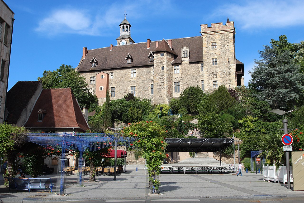
Image credit: Image: Lionel Allorge / Wikimedia Commons, CC BY-SA 3.0
France / Western Europe
Use the Montluçon profile to compare affordability, livability, and economic indicators against other indexed cities in France and across Western Europe, and to explore nearby nature and weekend destinations.

Image credit: Image: N. Lenoir / Wikimedia Commons, CC BY-SA 3.0
France / Western Europe
Use the Saint-Lô profile to compare affordability, livability, and economic indicators against other indexed cities in France and across Western Europe, and to explore nearby nature and weekend destinations.

Image credit: Image: jean-louis Zimmermann / Wikimedia Commons, CC BY 2.0
France / Western Europe
Use the Moulins profile to compare affordability, livability, and economic indicators against other indexed cities in France and across Western Europe, and to explore nearby nature and weekend destinations.

Image credit: Image: Jibi44 / Wikimedia Commons, CC BY-SA 3.0
France / Western Europe
Use the Mont-de-Marsan profile to compare affordability, livability, and economic indicators against other indexed cities in France and across Western Europe, and to explore nearby nature and weekend destinations.

Image credit: Image: Cobber17 / Wikimedia Commons, CC BY-SA 3.0
France / Western Europe
Use the Royan profile to compare affordability, livability, and economic indicators against other indexed cities in France and across Western Europe, and to explore nearby nature and weekend destinations.

Image credit: Image: Jean-Christophe BENOIST / Wikimedia Commons, CC BY 3.0
France / Western Europe
Use the Meudon profile to compare affordability, livability, and economic indicators against other indexed cities in France and across Western Europe, and to explore nearby nature and weekend destinations.

Image credit: Image: Florian Pépellin / Wikimedia Commons, CC BY-SA 3.0
France / Western Europe
Use the Aix-les-Bains profile to compare affordability, livability, and economic indicators against other indexed cities in France and across Western Europe, and to explore nearby nature and weekend destinations.

Image credit: Image: L. Pages - Ville de Cergy / Wikimedia Commons, CC BY-SA 4.0
France / Western Europe
Use the Cergy profile to compare affordability, livability, and economic indicators against other indexed cities in France and across Western Europe, and to explore nearby nature and weekend destinations.

Image credit: Image: Thomon / Wikimedia Commons, CC BY-SA 4.0
France / Western Europe
Use the Clichy profile to compare affordability, livability, and economic indicators against other indexed cities in France and across Western Europe, and to explore nearby nature and weekend destinations.

Image credit: Image: Renhour48 / Wikimedia Commons, CC0
France / Western Europe
Use the Auch profile to compare affordability, livability, and economic indicators against other indexed cities in France and across Western Europe, and to explore nearby nature and weekend destinations.

Image credit: Image: Chabe01 / Wikimedia Commons, CC BY-SA 4.0
France / Western Europe
Use the Champigny-sur-Marne profile to compare affordability, livability, and economic indicators against other indexed cities in France and across Western Europe, and to explore nearby nature and weekend destinations.

Image credit: Image: Luk / Wikimedia Commons, CC BY-SA 3.0
France / Western Europe
Use the Istres profile to compare affordability, livability, and economic indicators against other indexed cities in France and across Western Europe, and to explore nearby nature and weekend destinations.

Image credit: Image: fr:Utilisateur:Steff / Wikimedia Commons, CC BY-SA 3.0
France / Western Europe
Use the Cherbourg-Octeville profile to compare affordability, livability, and economic indicators against other indexed cities in France and across Western Europe, and to explore nearby nature and weekend destinations.

Image credit: Image: Kremtak / Wikimedia Commons, CC BY-SA 3.0
France / Western Europe
Use the Aubagne profile to compare affordability, livability, and economic indicators against other indexed cities in France and across Western Europe, and to explore nearby nature and weekend destinations.

Image credit: Image: Rundvald / Wikimedia Commons, Public Domain
France / Western Europe
Use the Lisieux profile to compare affordability, livability, and economic indicators against other indexed cities in France and across Western Europe, and to explore nearby nature and weekend destinations.
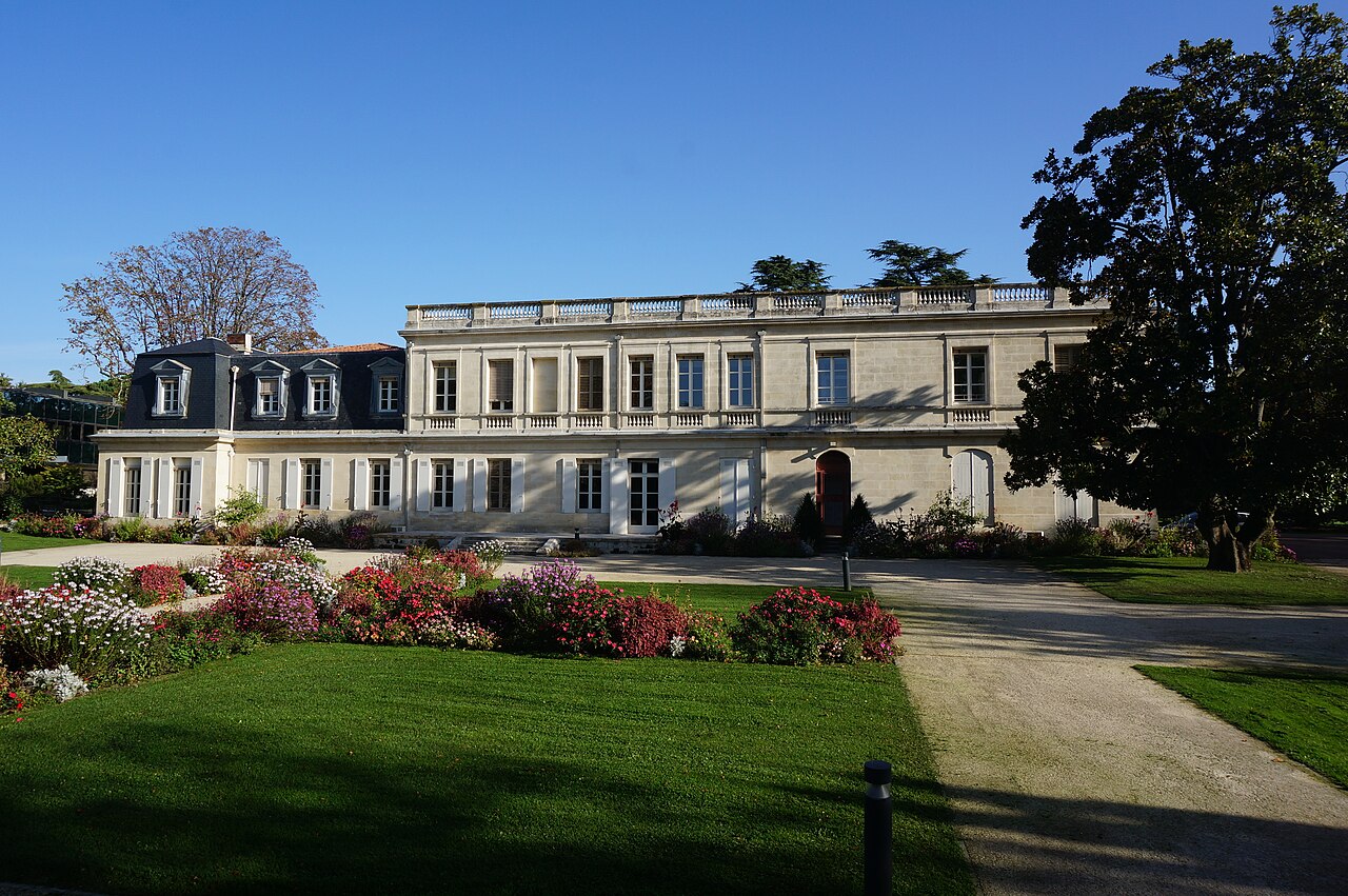
Image credit: Image: Michael Specht / Wikimedia Commons, CC BY-SA 4.0
France / Western Europe
Use the Mérignac profile to compare affordability, livability, and economic indicators against other indexed cities in France and across Western Europe, and to explore nearby nature and weekend destinations.

Image credit: Image: BAY / Wikimedia Commons, CC BY-SA 4.0
France / Western Europe
Use the Roanne profile to compare affordability, livability, and economic indicators against other indexed cities in France and across Western Europe, and to explore nearby nature and weekend destinations.

Image credit: Image: W. Bulach / Wikimedia Commons, CC BY-SA 4.0
France / Western Europe
Use the Le Puy-en-Velay profile to compare affordability, livability, and economic indicators against other indexed cities in France and across Western Europe, and to explore nearby nature and weekend destinations.

Image credit: Image: kallerna / Wikimedia Commons, CC BY-SA 4.0
France / Western Europe
Use the Rodez profile to compare affordability, livability, and economic indicators against other indexed cities in France and across Western Europe, and to explore nearby nature and weekend destinations.

Image credit: Image: The original uploader was Accrochoc at French Wikipedia . / Wikimedia Commons, CC BY-SA 3.0
France / Western Europe
Use the Cahors profile to compare affordability, livability, and economic indicators against other indexed cities in France and across Western Europe, and to explore nearby nature and weekend destinations.

Image credit: Image: Guilhem Vellut from Paris, France / Wikimedia Commons, CC BY 2.0
France / Western Europe
Use the Issy-les-Moulineaux profile to compare affordability, livability, and economic indicators against other indexed cities in France and across Western Europe, and to explore nearby nature and weekend destinations.

Image credit: Image: Pierre Poschadel / Wikimedia Commons, CC BY-SA 4.0
France / Western Europe
Use the Mantes-la-Jolie profile to compare affordability, livability, and economic indicators against other indexed cities in France and across Western Europe, and to explore nearby nature and weekend destinations.

Image credit: Image: Denis Biette / Wikimedia Commons, CC BY-SA 2.5
France / Western Europe
Use the Hyères profile to compare affordability, livability, and economic indicators against other indexed cities in France and across Western Europe, and to explore nearby nature and weekend destinations.

Image credit: Image: Chabe01 / Wikimedia Commons, CC BY-SA 4.0
France / Western Europe
Use the Bourg-la-Reine profile to compare affordability, livability, and economic indicators against other indexed cities in France and across Western Europe, and to explore nearby nature and weekend destinations.

Image credit: Image: Matpib / Wikimedia Commons, CC BY-SA 3.0
France / Western Europe
Use the Montélimar profile to compare affordability, livability, and economic indicators against other indexed cities in France and across Western Europe, and to explore nearby nature and weekend destinations.

Image credit: Image: Benjamin Smith / Wikimedia Commons, CC BY-SA 4.0
France / Western Europe
Use the Martigues profile to compare affordability, livability, and economic indicators against other indexed cities in France and across Western Europe, and to explore nearby nature and weekend destinations.
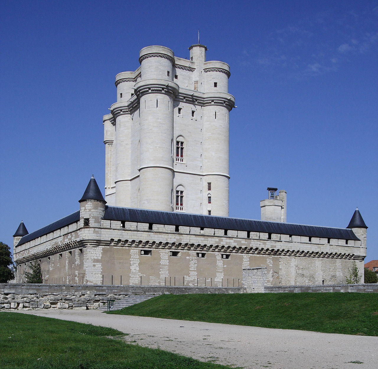
Image credit: Image: ignis / Wikimedia Commons, CC BY-SA 3.0
France / Western Europe
Use the Vincennes profile to compare affordability, livability, and economic indicators against other indexed cities in France and across Western Europe, and to explore nearby nature and weekend destinations.

Image credit: Image: Copyleft / Wikimedia Commons, CC BY-SA 3.0
France / Western Europe
Use the Puteaux profile to compare affordability, livability, and economic indicators against other indexed cities in France and across Western Europe, and to explore nearby nature and weekend destinations.

Image credit: Image: Chabe01 / Wikimedia Commons, CC BY-SA 4.0
France / Western Europe
Use the Drancy profile to compare affordability, livability, and economic indicators against other indexed cities in France and across Western Europe, and to explore nearby nature and weekend destinations.

Image credit: Image: Jeanlouiszimmermann / Wikimedia Commons, CC BY-SA 3.0
France / Western Europe
Use the Orange profile to compare affordability, livability, and economic indicators against other indexed cities in France and across Western Europe, and to explore nearby nature and weekend destinations.

Image credit: Image: Cyrilb1881 / Wikimedia Commons, CC BY-SA 3.0
France / Western Europe
Use the Fréjus profile to compare affordability, livability, and economic indicators against other indexed cities in France and across Western Europe, and to explore nearby nature and weekend destinations.

Image credit: Image: Clicsouris / Wikimedia Commons, CC BY-SA 3.0
France / Western Europe
Use the Sarcelles profile to compare affordability, livability, and economic indicators against other indexed cities in France and across Western Europe, and to explore nearby nature and weekend destinations.

Image credit: Image: Franck devedjian / Wikimedia Commons, CC BY-SA 4.0
France / Western Europe
Use the Évry profile to compare affordability, livability, and economic indicators against other indexed cities in France and across Western Europe, and to explore nearby nature and weekend destinations.

Image credit: Image: Stefan Bauer / Wikimedia Commons, CC BY-SA 2.5
France / Western Europe
Use the Beaune profile to compare affordability, livability, and economic indicators against other indexed cities in France and across Western Europe, and to explore nearby nature and weekend destinations.

Image credit: Image: Jean-Christophe BENOIST / Wikimedia Commons, CC BY 3.0
France / Western Europe
Use the Digne-les-Bains profile to compare affordability, livability, and economic indicators against other indexed cities in France and across Western Europe, and to explore nearby nature and weekend destinations.

Image credit: Image: Chabe01 / Wikimedia Commons, CC BY-SA 4.0
France / Western Europe
Use the Noisy-le-Grand profile to compare affordability, livability, and economic indicators against other indexed cities in France and across Western Europe, and to explore nearby nature and weekend destinations.

Image credit: Image: Alex699 / Wikimedia Commons, CC BY-SA 3.0
France / Western Europe
Use the Agde profile to compare affordability, livability, and economic indicators against other indexed cities in France and across Western Europe, and to explore nearby nature and weekend destinations.

Image credit: Image: Didier Descouens / Wikimedia Commons, CC BY-SA 4.0
France / Western Europe
Use the Castres profile to compare affordability, livability, and economic indicators against other indexed cities in France and across Western Europe, and to explore nearby nature and weekend destinations.

Image credit: Image: Chabe01 / Wikimedia Commons, CC BY-SA 4.0
France / Western Europe
Use the Corbeil-Essonnes profile to compare affordability, livability, and economic indicators against other indexed cities in France and across Western Europe, and to explore nearby nature and weekend destinations.

Image credit: Image: Patrick Jaloyan modified by Zil / Wikimedia Commons, CC BY-SA 2.0
France / Western Europe
Use the Pontoise profile to compare affordability, livability, and economic indicators against other indexed cities in France and across Western Europe, and to explore nearby nature and weekend destinations.

Image credit: Image: historicair 27 mars 2005 à 17:29 / Wikimedia Commons, CC BY-SA 3.0
France / Western Europe
Use the Thonon-les-Bains profile to compare affordability, livability, and economic indicators against other indexed cities in France and across Western Europe, and to explore nearby nature and weekend destinations.
Image credit: Image: M Disdero / Wikimedia Commons, CC BY 2.5
France / Western Europe
Use the Salon-de-Provence profile to compare affordability, livability, and economic indicators against other indexed cities in France and across Western Europe, and to explore nearby nature and weekend destinations.

Image credit: Image: Symac / Sylvain Machefert / Wikimedia Commons, CC BY-SA 3.0
France / Western Europe
Use the Pessac profile to compare affordability, livability, and economic indicators against other indexed cities in France and across Western Europe, and to explore nearby nature and weekend destinations.

Image credit: Image: Cobber17 / Wikimedia Commons, CC BY-SA 3.0
France / Western Europe
Use the Saintes profile to compare affordability, livability, and economic indicators against other indexed cities in France and across Western Europe, and to explore nearby nature and weekend destinations.

Image credit: Image: Mailvince / Wikimedia Commons, CC BY-SA 4.0
France / Western Europe
Use the Gennevilliers profile to compare affordability, livability, and economic indicators against other indexed cities in France and across Western Europe, and to explore nearby nature and weekend destinations.

Image credit: Image: Rémih / Wikimedia Commons, CC BY-SA 4.0
France / Western Europe
Use the Saint-Cloud profile to compare affordability, livability, and economic indicators against other indexed cities in France and across Western Europe, and to explore nearby nature and weekend destinations.

Image credit: Image: Chabe01 / Wikimedia Commons, CC BY-SA 4.0
France / Western Europe
Use the Montrouge profile to compare affordability, livability, and economic indicators against other indexed cities in France and across Western Europe, and to explore nearby nature and weekend destinations.
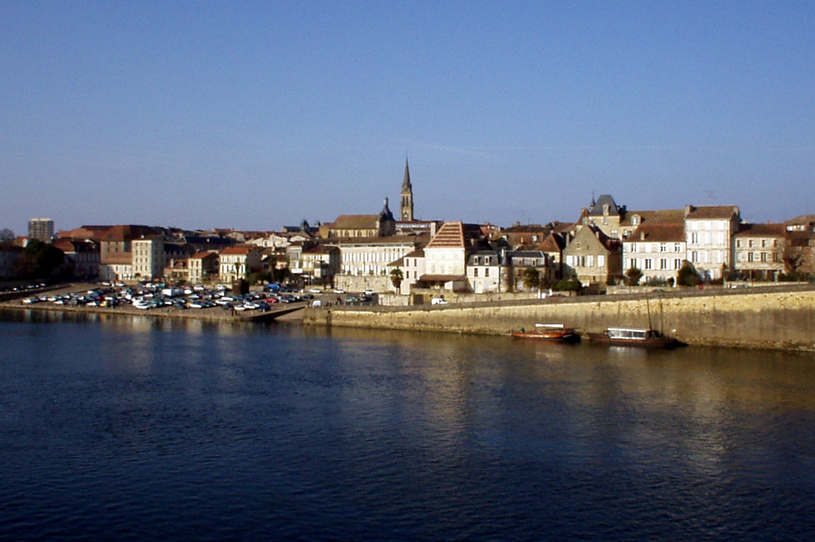
Image credit: Image: Flyer84 at English Wikipedia / Wikimedia Commons, Public Domain
France / Western Europe
Use the Bergerac profile to compare affordability, livability, and economic indicators against other indexed cities in France and across Western Europe, and to explore nearby nature and weekend destinations.

Image credit: Image: Adrien Goussard / Wikimedia Commons, CC BY-SA 4.0
France / Western Europe
Use the Dreux profile to compare affordability, livability, and economic indicators against other indexed cities in France and across Western Europe, and to explore nearby nature and weekend destinations.

Image credit: Image: Chabe01 / Wikimedia Commons, CC BY-SA 4.0
France / Western Europe
Use the Villejuif profile to compare affordability, livability, and economic indicators against other indexed cities in France and across Western Europe, and to explore nearby nature and weekend destinations.

Image credit: Image: Jinemon / Wikimedia Commons, CC BY-SA 3.0
France / Western Europe
Use the Oyonnax profile to compare affordability, livability, and economic indicators against other indexed cities in France and across Western Europe, and to explore nearby nature and weekend destinations.

Image credit: Image: Moreau.henri / Wikimedia Commons, CC BY-SA 4.0
France / Western Europe
Use the Fougères profile to compare affordability, livability, and economic indicators against other indexed cities in France and across Western Europe, and to explore nearby nature and weekend destinations.

Image credit: Image: Chatsam / Wikimedia Commons, Public Domain
France / Western Europe
Use the Maubeuge profile to compare affordability, livability, and economic indicators against other indexed cities in France and across Western Europe, and to explore nearby nature and weekend destinations.

Image credit: Image: Gustave Fraipont / Wikimedia Commons, Public Domain
France / Western Europe
Use the Dole profile to compare affordability, livability, and economic indicators against other indexed cities in France and across Western Europe, and to explore nearby nature and weekend destinations.

Image credit: Image: Wilfredor / Wikimedia Commons, CC0
France / Western Europe
Use the Ivry-sur-Seine profile to compare affordability, livability, and economic indicators against other indexed cities in France and across Western Europe, and to explore nearby nature and weekend destinations.

Image credit: Image: Chabe01 / Wikimedia Commons, CC BY-SA 4.0
France / Western Europe
Use the Saint-Maur-des-Fossés profile to compare affordability, livability, and economic indicators against other indexed cities in France and across Western Europe, and to explore nearby nature and weekend destinations.

Image credit: Image: Annemasse / Wikimedia Commons, Public Domain
France / Western Europe
Use the Annemasse profile to compare affordability, livability, and economic indicators against other indexed cities in France and across Western Europe, and to explore nearby nature and weekend destinations.

Image credit: Image: Editeur : L.V. & Cie / Wikimedia Commons, Public Domain
France / Western Europe
Use the Draguignan profile to compare affordability, livability, and economic indicators against other indexed cities in France and across Western Europe, and to explore nearby nature and weekend destinations.

Image credit: Image: JC Allin / Wikimedia Commons, CC BY-SA 3.0
France / Western Europe
Use the Châtenay-Malabry profile to compare affordability, livability, and economic indicators against other indexed cities in France and across Western Europe, and to explore nearby nature and weekend destinations.

Image credit: Image: Robin Chubret / Wikimedia Commons, CC BY-SA 4.0
France / Western Europe
Use the Sens profile to compare affordability, livability, and economic indicators against other indexed cities in France and across Western Europe, and to explore nearby nature and weekend destinations.

Image credit: Image: Cyrilb1881 / Wikimedia Commons, CC BY-SA 3.0
France / Western Europe
Use the Palaiseau profile to compare affordability, livability, and economic indicators against other indexed cities in France and across Western Europe, and to explore nearby nature and weekend destinations.

Image credit: Image: Ad Vitam / Wikimedia Commons, CC BY-SA 3.0
France / Western Europe
Use the Dax profile to compare affordability, livability, and economic indicators against other indexed cities in France and across Western Europe, and to explore nearby nature and weekend destinations.

Image credit: Image: PofDaf / Wikimedia Commons, CC BY-SA 4.0
France / Western Europe
Use the Châtellerault profile to compare affordability, livability, and economic indicators against other indexed cities in France and across Western Europe, and to explore nearby nature and weekend destinations.

Image credit: Image: Theklan / Wikimedia Commons, CC BY-SA 4.0
France / Western Europe
Use the Anglet profile to compare affordability, livability, and economic indicators against other indexed cities in France and across Western Europe, and to explore nearby nature and weekend destinations.

Image credit: Image: Saturnyn / Wikimedia Commons, CC BY-SA 3.0
France / Western Europe
Use the Villefranche-sur-Saône profile to compare affordability, livability, and economic indicators against other indexed cities in France and across Western Europe, and to explore nearby nature and weekend destinations.

Image credit: Image: Marcel Roblin / Wikimedia Commons, CC BY-SA 4.0
France / Western Europe
Use the Libourne profile to compare affordability, livability, and economic indicators against other indexed cities in France and across Western Europe, and to explore nearby nature and weekend destinations.
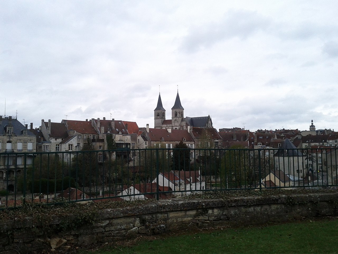
Image credit: Image: Gilles Guillamot / Wikimedia Commons, CC BY-SA 3.0
France / Western Europe
Use the Chaumont profile to compare affordability, livability, and economic indicators against other indexed cities in France and across Western Europe, and to explore nearby nature and weekend destinations.

Image credit: Image: Benjism89 / Wikimedia Commons, CC BY-SA 3.0
France / Western Europe
Use the Sèvres profile to compare affordability, livability, and economic indicators against other indexed cities in France and across Western Europe, and to explore nearby nature and weekend destinations.

Image credit: Image: Vi..Cult... / Wikimedia Commons, CC BY-SA 3.0
France / Western Europe
Use the Carpentras profile to compare affordability, livability, and economic indicators against other indexed cities in France and across Western Europe, and to explore nearby nature and weekend destinations.

Image credit: Image: Nitot / Wikimedia Commons, CC BY-SA 3.0
France / Western Europe
Use the Conflans-Sainte-Honorine profile to compare affordability, livability, and economic indicators against other indexed cities in France and across Western Europe, and to explore nearby nature and weekend destinations.

Image credit: Image: Patrick Despoix / Wikimedia Commons, CC BY-SA 3.0
France / Western Europe
Use the Rochefort profile to compare affordability, livability, and economic indicators against other indexed cities in France and across Western Europe, and to explore nearby nature and weekend destinations.

Image credit: Image: Pymouss44 / Wikimedia Commons, CC BY-SA 3.0
France / Western Europe
Use the Saint-Herblain profile to compare affordability, livability, and economic indicators against other indexed cities in France and across Western Europe, and to explore nearby nature and weekend destinations.

Image credit: Image: Jpchevreau / Wikimedia Commons, CC BY-SA 3.0
France / Western Europe
Use the Le Cannet profile to compare affordability, livability, and economic indicators against other indexed cities in France and across Western Europe, and to explore nearby nature and weekend destinations.

Image credit: Image: Chabe01 / Wikimedia Commons, CC BY-SA 4.0
France / Western Europe
Use the Fontenay-sous-Bois profile to compare affordability, livability, and economic indicators against other indexed cities in France and across Western Europe, and to explore nearby nature and weekend destinations.

Image credit: Image: Lucien de Rubrempré / Wikimedia Commons, CC BY-SA 3.0
France / Western Europe
Use the Le Blanc-Mesnil profile to compare affordability, livability, and economic indicators against other indexed cities in France and across Western Europe, and to explore nearby nature and weekend destinations.

Image credit: Image: X-Javier / Wikimedia Commons, CC BY-SA 4.0
France / Western Europe
Use the Massy profile to compare affordability, livability, and economic indicators against other indexed cities in France and across Western Europe, and to explore nearby nature and weekend destinations.

Image credit: Image: Jules78120 / Wikimedia Commons, CC BY-SA 3.0
France / Western Europe
Use the Rambouillet profile to compare affordability, livability, and economic indicators against other indexed cities in France and across Western Europe, and to explore nearby nature and weekend destinations.
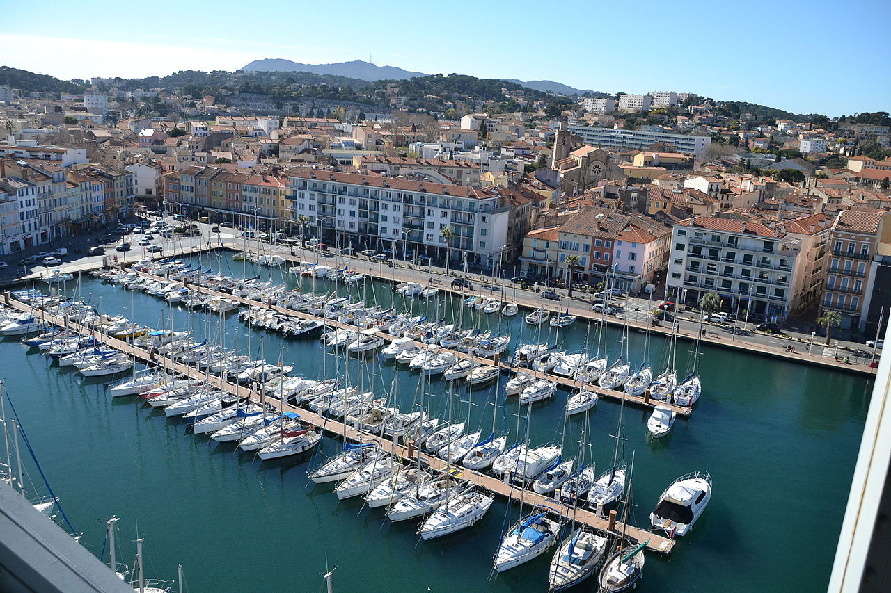
Image credit: Image: Cyril-83 / Wikimedia Commons, CC BY-SA 4.0
France / Western Europe
Use the La Seyne-sur-Mer profile to compare affordability, livability, and economic indicators against other indexed cities in France and across Western Europe, and to explore nearby nature and weekend destinations.

Image credit: Image: Romain URBAIN / Wikimedia Commons, CC BY-SA 4.0
France / Western Europe
Use the Poissy profile to compare affordability, livability, and economic indicators against other indexed cities in France and across Western Europe, and to explore nearby nature and weekend destinations.
Source-attributed country-level indicators for France, drawn from the World Bank Development Indicators. Use the cards and table together to compare scale, unit, and data year for each metric.
Country-level, not city-level
Indicators describe national context. Pair them with city profiles, comparisons, and verified utility layers (emergency, healthcare, transport) for local detail.
Source-attributed where available
Values come from the World Bank Development Indicators. Where no verified record exists, the platform shows a transparent fallback rather than a guessed number.
Different indicators, different years
Each record carries its own data year because publishers refresh indicators on their own cadence. The card and table both display the year alongside the value.
Context, not a ranking
Treat indicators as orientation, not as a leaderboard. The platform never claims any country is best, safest, cleanest, richest, healthiest, or most connected.
Read alongside city intelligence
Country indicators are most useful when combined with the city profiles in the country, the public-safety, healthcare, and transport sections, and the methodology and data-sources pages.
For full construction details, read the methodology page and the data sources registry.
National-level economic signals to read alongside city-level cost and services pages.
GDP per capita
VerifiedEconomic context only — not a cost-of-living score or a household-income measure.
Data year 2024 updated 2026-04-08
Unemployment rate
VerifiedModeled ILO labor-market context — not a guarantee of job availability for any specific worker.
Data year 2025 updated 2026-04-08
National scale and urbanisation context; pair with city profiles for local detail.
Population
VerifiedNational scale only — not a city population value or a measure of urban density.
Data year 2024 updated 2026-04-08
Urban population share
VerifiedShare of population living in urban areas — not a quality-of-life or urban-form measure.
Data year 2024 updated 2026-04-08
Connectivity context drawn from World Bank usage and subscription indicators.
Internet usage
VerifiedShare of population that uses the internet — not a measure of connection speed or quality.
Data year 2024 updated 2026-04-08
Fixed broadband subscriptions
VerifiedFixed broadband subscriptions per 100 people — not a measure of overall internet quality or speed.
Data year 2024 updated 2026-04-08
National health-system context; not a substitute for verified city-level healthcare layers.
Life expectancy
VerifiedNational health-context indicator — not individual health guidance.
Data year 2024 updated 2026-04-08
Health expenditure per capita
VerifiedPer-capita spending context — not a measure of healthcare quality or access for any individual.
Data year 2024 updated 2026-04-08
National emissions context; read separately from city-level air-quality data.
CO₂ emissions per capita
VerifiedNational emissions context — not a city-level air-quality measurement.
Data year 2024 updated 2026-04-08
| Indicator | Value | Unit | Data year | Status |
|---|---|---|---|---|
| Population | 68,551,653 | people | 2024 | Verified |
| Internet usage | 88.65 | percent | 2024 | Verified |
| Urban population share | 78.8 | percent | 2024 | Verified |
| GDP per capita | 46,103.08 | current US$ | 2024 | Verified |
| Life expectancy | 82.98 | years | 2024 | Verified |
| Health expenditure per capita | 5,327.43 | current US$ | 2024 | Verified |
| Unemployment rate | 7.54 | percent | 2025 | Verified |
| CO₂ emissions per capita | 4.0 | metric tons per capita | 2024 | Verified |
| Fixed broadband subscriptions | 48.93 | per 100 people | 2024 | Verified |
Global City Intelligence — country indicators dataset
VerifiedCountry indicator values appear in this section only after they are sourced from accepted publishers and validated at build time. Malformed records cannot ship to production.
Verified emergency contacts for France, drawn from official emergency services and government publishers. Use these as a starting point and confirm current details with local authorities before traveling or relocating.
| Service | Number | Notes |
|---|---|---|
| European emergency | 11224/7 | 112 reaches police, fire, and ambulance dispatch across the European Union from any phone, free of charge. |
| Police | 1724/7 | — |
| Medical (SAMU) | 1524/7 | — |
| Fire (Sapeurs-pompiers) | 1824/7 | — |
Each emergency contact above is attributed to an official emergency service or government publisher. Confirm current numbers directly with these sources.
Used as the primary attribution for the EU-wide 112 universal emergency number on European country profiles.
Last verified: 2026-05-16
Methodology and the wider source registry are documented on the scoring methodology and data sources pages.
Verified national healthcare information for France, drawn from official government and public health publishers. This is informational only and does not provide medical advice.
Healthcare system
Statutory health insurance system (Assurance Maladie) covering residents, with public and private healthcare providers.
Official health portal
Emergency medical information
Call 15 for SAMU (medical) or 112 for the European emergency number. Hospital emergency services (urgences) are available in public hospitals.
Insurance and access
Most residents are covered by statutory health insurance. Visitor coverage depends on EHIC, GHIC, or private travel insurance.
Each entry above is attributed to an official government, public health, or recognised health-system publisher. Confirm current information directly with these sources.
Used as the primary attribution for French public-health context.
Last verified: 2026-05-16
Related sections: emergency and public safety, scoring methodology, and data sources.
Verified national transport context for France, attributed to official transport ministries, national operators, and aviation authorities. This is informational only; routes, fares, and schedules change frequently — check the linked authorities for current details.
Public transport overview
Transport policy sits with the Ministry of Ecological Transition. National passenger rail is operated by SNCF; the Île-de-France region is served by Île-de-France Mobilités and RATP.
National transport authority
Rail authority or operator
Each entry above is attributed to an official transport authority, national operator, airport publisher, or government source. Confirm current information directly with these publishers.
Used as the primary federal attribution for French national transport context.
Used as the primary attribution for French national rail operator information.
Last verified: 2026-05-16
Related sections: emergency and public safety, healthcare and hospitals, cities directory, countries directory, scoring methodology, data sources.
Curated city-vs-city comparisons that include at least one city from France. Each link opens a comparison page with structured indicators across cost, safety, healthcare, transport, and country context.
Europe · Quality of life
London vs Paris: Cost, Safety, Healthcare & Transport
Compare London and Paris across cost of living, air quality, safety, healthcare, transport, emergency services, and country context to support relocation, remote work, and travel planning.
Global · Global hub comparison
Paris vs New York: Cost, Safety, Healthcare & Transport
Compare Paris and New York across cost of living, air quality, safety, healthcare, transport, and country context for transatlantic business and relocation planning.
Europe · Regional alternative
Lyon vs Marseille: Cost, Safety, Healthcare & Transport
Pair Lyon and Marseille for a southern-France comparison across cost framing, transport access, healthcare and emergency context, and country-level indicators.
Europe · Regional alternative
Lyon vs Toulouse: Cost, Safety, Healthcare & Transport
Compare Lyon and Toulouse as French regional cores across cost framing, transport access, and country-level public-service context.
Europe · Regional alternative
Lyon vs Bordeaux: Cost, Safety, Healthcare & Transport
Review Lyon and Bordeaux side by side across cost framing, transport access, and country-level intelligence for French cross-region relocation planning.
Europe · Regional alternative
Marseille vs Nice: Cost, Safety, Healthcare & Transport
Pair Marseille and Nice for a Mediterranean-France comparison across cost framing, transport access, and country-level public-service context.
Curated city collections that include at least one France city. Each collection is a comparison-oriented shortlist, not an official ranking.
Startups
Compare cities with startup and business relevance through connectivity, infrastructure, transport, and international hub positioning. A curated shortlist, not an official ranking.
1 city from France in this collection
Public transport
A mobility-focused city collection comparing cities with useful public-transport context and verified transport or mobility profiles where available.
1 city from France in this collection
Explore rankings where supported France city profiles appear. Use rankings as directional city intelligence, not an official government ranking.
Ranking
A balanced ranking of cities across affordability, air quality, clean-energy readiness, and resilience.
236 cities from France appears in this ranking
Ranking
Cities that combine strong services, mobility, safety, clean air, and resilience into a healthy day-to-day profile.
236 cities from France appears in this ranking
Ranking
Cities that combine fast connectivity, safety, healthy day-to-day life, and a manageable cost-of-living balance for remote and hybrid workers.
236 cities from France appears in this ranking
Ranking
A health-oriented comparison of city air-quality scores using WHO-centered pollutant interpretation.
236 cities from France appears in this ranking
Ranking
Cities ranked by cost-of-living score, weighing housing pressure, essential spending, and household offsets across global metros.
236 cities from France appears in this ranking
Ranking
Cities ranked by internet speed, mobile coverage, and digital-readiness depth for residents, businesses, and remote workers.
236 cities from France appears in this ranking
Ranking
A ranking of city energy-transition readiness, grid resilience, clean-resource potential, and adaptation capacity.
236 cities from France appears in this ranking
Ranking
A practical affordability ranking that weighs housing pressure against transport access, services, and opportunity density.
236 cities from France appears in this ranking
See the full rankings directory for every available structured ranking.
Across 236 indexed cities, Paris leads at 86/100 and Caen sits at 50/100. Use the country page as a parent context layer; module-level detail lives on each city profile. Data year 2025; last updated 2026-05-16. Drawn from 4 institutional references.
Structured indicators on this hub are directional and intended for orientation. Verified utility layers — emergency, healthcare, transport — are attributed to official publishers where available and use transparent fallback states where verified country-level data is not yet integrated.
Structured indicators on this page are directional and intended for orientation. Verified datasets are being integrated; official sources should be used for critical decisions.
4 institutional references inform this view, listed below with reliability notes. Structured indicators on this page are directional and intended for orientation; verified datasets are being integrated and official sources should be used for critical decisions.
Used as a policy and methodology reference for urban exposure and resilience signals.
Used as an energy-resource and weather-normalization reference.
Used where European city comparisons need monitored air-quality context.
Used to explain urban climate vulnerability and adaptation scoring logic.