Global CityIntelligence

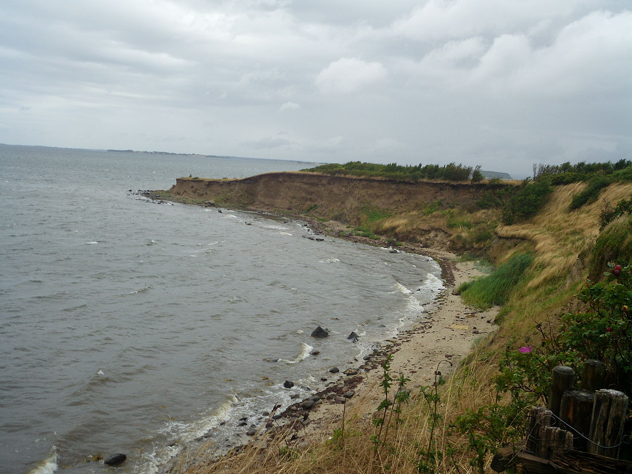
Verified Wikimedia Commons image of Tåsinge
Tåsingeabout 7 km (4 mi) from Svendborg. Image credit: Image: Pymouss / Wikimedia Commons, CC BY-SA 4.0

Nature discovery

Nature Near Svendborg, Denmark

Research 19 classified outdoor destinations within weekend reach of Svendborg, grouped across 5 kinds of place and ordered by measured straight-line distance from the city centre. Distances only — no travel times, schedules, or rankings.

Places listed
19
Closest
Tåsinge — about 7 km
Furthest listed
about 52 km
Last updated
2026-05-16
Data year
2025

How this list is built

Each place is classified from its own Wikidata type, not from its name, and is ordered by measured straight-line distance from the centre of Svendborg. Distances are great-circle kilometres between two published coordinates — this page does not publish travel times, transport schedules, opening hours, ticket prices, or rankings. Confirm access, facilities, and seasonal conditions with an official source before travelling.

How far these are

Reachability is a second axis over the same places: the category says what a destination is, the band says how far it sits from Svendborg. Distances are measured in a straight line — this page publishes no travel times.

  • 19nearby

What is out there

  • 7islands
  • 6coast and headlands
  • 5forests
  • 2protected areas
  • 1valley

19 places near Svendborg

Ordered by straight-line distance from Svendborg, closest first. Distance bands: nearby is up to 60 km.

Places near Svendborg

Showing all 19 places.

  • Verified Wikimedia Commons image of Tåsinge
    IslandNearby

    Tåsinge

    Straight-line distance
    about 7 km (4 mi)
    Recorded type
    island

    Tåsinge is a island reachable from Svendborg as a nearby nature destination. Research access, facilities, and seasonal conditions with official sources before visiting.

    View place Tåsinge, about 7 km (4 mi) from Svendborg

    Image credit: Image: Pymouss / Wikimedia Commons, CC BY-SA 4.0

  • Verified Wikimedia Commons image of Syltemade Ådal
    ValleyNearby

    Syltemade Ådal

    Straight-line distance
    about 10 km (6 mi)
    Recorded type
    valley

    Syltemade Ådal is a protected area reachable from Svendborg as a nearby nature destination. Research access, facilities, and seasonal conditions with official sources before visiting.

    View place Syltemade Ådal, about 10 km (6 mi) from Svendborg

    Image credit: Image: Jeppe Madsen at da.wikipedia / Wikimedia Commons, CC BY-SA 3.0

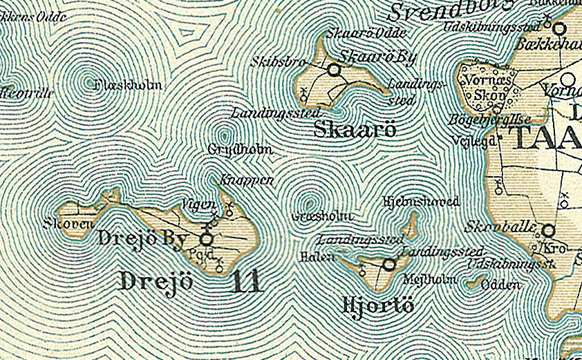
  • Verified Wikimedia Commons image of Skarø
    IslandNearby

    Skarø

    Straight-line distance
    about 11 km (7 mi)
    Recorded type
    island

    Skarø is a island reachable from Svendborg as a nearby nature destination. Research access, facilities, and seasonal conditions with official sources before visiting.

    View place Skarø, about 11 km (7 mi) from Svendborg

    Image credit: Image: Fotolitograferede i Generalstabens Topografiske Afdeling / Wikimedia Commons, Public Domain

  • Verified Wikimedia Commons image of Drejø
    IslandNearby

    Drejø

    Straight-line distance
    about 16 km (10 mi)
    Recorded type
    island

    Drejø is a island reachable from Svendborg as a nearby nature destination. Research access, facilities, and seasonal conditions with official sources before visiting.

    View place Drejø, about 16 km (10 mi) from Svendborg

    Image credit: Image: Jan Pešula / Wikimedia Commons, CC0

  • Verified Wikimedia Commons image of Strynø
    IslandNearby

    Strynø

    Straight-line distance
    about 17 km (11 mi)
    Recorded type
    island

    Strynø is a island reachable from Svendborg as a nearby nature destination. Research access, facilities, and seasonal conditions with official sources before visiting.

    View place Strynø, about 17 km (11 mi) from Svendborg

    Image credit: Image: Jørgen Larsen/ ultraman/ ultramandk / Wikimedia Commons, CC BY-SA 3.0

  • Verified Wikimedia Commons image of Lindelse Nor
    CoastNearby

    Lindelse Nor

    Straight-line distance
    about 20 km (13 mi)
    Recorded type
    fjord

    Lindelse Nor is a fjord reachable from Svendborg as a nearby nature destination. Research access, facilities, and seasonal conditions with official sources before visiting.

    View place Lindelse Nor, about 20 km (13 mi) from Svendborg

    Image credit: Image: Nils Jepsen / Nico-dk ( talk ) 10:21, 25 April 2009 (UTC) / Wikimedia Commons, CC BY-SA 3.0

  • Verified Wikimedia Commons image of Pipstorn
    ForestNearby

    Pipstorn

    Straight-line distance
    about 20 km (13 mi)
    Recorded type
    forest

    Pipstorn is a forest reachable from Svendborg as a nearby nature destination. Research access, facilities, and seasonal conditions with official sources before visiting.

    View place Pipstorn, about 20 km (13 mi) from Svendborg

    Image credit: Image: J.E. Walkowitz / Wikimedia Commons, CC BY-SA 3.0

  • Verified Wikimedia Commons image of Bjørnø
    IslandNearby

    Bjørnø

    Straight-line distance
    about 23 km (14 mi)
    Recorded type
    island

    Bjørnø is a island reachable from Svendborg as a nearby nature destination. Research access, facilities, and seasonal conditions with official sources before visiting.

    View place Bjørnø, about 23 km (14 mi) from Svendborg

    Image credit: Image: Kåre Thor Olsen / Wikimedia Commons, CC BY-SA 3.0

  • Verified Wikimedia Commons image of Ærøs Hale
    CoastNearby

    Ærøs Hale

    Straight-line distance
    about 24 km (15 mi)
    Recorded type
    cape

    Ærøs Hale is a cape reachable from Svendborg as a nearby nature destination. Research access, facilities, and seasonal conditions with official sources before visiting.

    View place Ærøs Hale, about 24 km (15 mi) from Svendborg

    Image credit: Image: Sintakso / Wikimedia Commons, CC BY-SA 4.0

  • Verified Wikimedia Commons image of Ærø
    IslandNearby

    Ærø

    Straight-line distance
    about 26 km (16 mi)
    Recorded type
    island

    Ærø is a island reachable from Svendborg as a nearby nature destination. Research access, facilities, and seasonal conditions with official sources before visiting.

    View place Ærø, about 26 km (16 mi) from Svendborg

    Image credit: Image: Joan Blaeu / Wikimedia Commons, Public Domain

  • Verified Wikimedia Commons image of Teglværkskov
    ForestNearby

    Teglværkskov

    Straight-line distance
    about 33 km (21 mi)
    Recorded type
    forest

    Teglværkskov is a forest reachable from Svendborg as a nearby nature destination. Research access, facilities, and seasonal conditions with official sources before visiting.

    View place Teglværkskov, about 33 km (21 mi) from Svendborg

    Image credit: Image: Thomas Dahlstrøm Nielsen / Wikimedia Commons, CC BY-SA 4.0

  • Verified Wikimedia Commons image of Nakskov Fjord
    CoastNearby

    Nakskov Fjord

    Straight-line distance
    about 39 km (24 mi)
    Recorded type
    fjord

    Nakskov Fjord is a fjord reachable from Svendborg as a nearby nature destination. Research access, facilities, and seasonal conditions with official sources before visiting.

    View place Nakskov Fjord, about 39 km (24 mi) from Svendborg

    Image credit: Image: Fotolitograferede i Generalstabens Topografiske Afdeling / Wikimedia Commons, Public Domain

  • Verified Wikimedia Commons image of Blommeskobbel
    ForestNearby

    Blommeskobbel

    Straight-line distance
    about 40 km (25 mi)
    Recorded type
    forest

    Blommeskobbel is a forest reachable from Svendborg as a nearby nature destination. Research access, facilities, and seasonal conditions with official sources before visiting.

    View place Blommeskobbel, about 40 km (25 mi) from Svendborg

    Image credit: Image: Detlef Hansen / Wikimedia Commons, CC BY-SA 4.0

  • Verified Wikimedia Commons image of Elmelund Skov
    ForestNearby

    Elmelund Skov

    Straight-line distance
    about 41 km (25 mi)
    Recorded type
    forest

    Elmelund Skov is a forest reachable from Svendborg as a nearby nature destination. Research access, facilities, and seasonal conditions with official sources before visiting.

    View place Elmelund Skov, about 41 km (25 mi) from Svendborg

    Image credit: Image: Kåre Thor Olsen / Wikimedia Commons, CC BY-SA 4.0

  • Verified Wikimedia Commons image of Kerteminde Fjord
    CoastNearby

    Kerteminde Fjord

    Straight-line distance
    about 43 km (27 mi)
    Recorded type
    fjord

    Kerteminde Fjord is a fjord reachable from Svendborg as a nearby nature destination. Research access, facilities, and seasonal conditions with official sources before visiting.

    View place Kerteminde Fjord, about 43 km (27 mi) from Svendborg

    Image credit: Image: Nico ( talk ) 10:06, 20 August 2008 (UTC)/ Nils Jepsen / Wikimedia Commons, CC BY-SA 3.0

  • Verified Wikimedia Commons image of Als
    IslandNearby

    Als

    Straight-line distance
    about 45 km (28 mi)
    Recorded type
    island

    Als is a island reachable from Svendborg as a nearby nature destination. Research access, facilities, and seasonal conditions with official sources before visiting.

    View place Als, about 45 km (28 mi) from Svendborg

    Image credit: Image: Nis Hoff / Wikimedia Commons, Public Domain

  • Verified Wikimedia Commons image of Odense Fjord
    CoastNearby

    Odense Fjord

    Straight-line distance
    about 48 km (30 mi)
    Recorded type
    fjord

    Odense Fjord is a fjord reachable from Svendborg as a nearby nature destination. Research access, facilities, and seasonal conditions with official sources before visiting.

    View place Odense Fjord, about 48 km (30 mi) from Svendborg

    Image credit: Image: Nico ( talk ) 10:54, 27 August 2008 (UTC) / Nils Jepsen / Wikimedia Commons, CC BY-SA 3.0