Global CityIntelligence

Verified Wikimedia Commons image of Old Ausable Channel
Old Ausable Channelabout 50 km (31 mi) from Sarnia. Image credit: Image: Mhsheikholeslami / Wikimedia Commons, CC BY-SA 4.0

Nature discovery

Nature Near Sarnia, Canada

Research 7 classified outdoor destinations within weekend reach of Sarnia, grouped across 5 kinds of place and ordered by measured straight-line distance from the city centre. Distances only — no travel times, schedules, or rankings.

Places listed
7
Closest
Old Ausable Channel — about 50 km
Furthest listed
about 112 km
Last updated
2026-05-16
Data year
2025

How this list is built

Each place is classified from its own Wikidata type, not from its name, and is ordered by measured straight-line distance from the centre of Sarnia. Distances are great-circle kilometres between two published coordinates — this page does not publish travel times, transport schedules, opening hours, ticket prices, or rankings. Confirm access, facilities, and seasonal conditions with an official source before travelling.

How far these are

Reachability is a second axis over the same places: the category says what a destination is, the band says how far it sits from Sarnia. Distances are measured in a straight line — this page publishes no travel times.

  • 2nearby
  • 5day-trip distance

What is out there

  • 2parks
  • 2rivers
  • 1lake
  • 1national park
  • 1protected area

7 places near Sarnia

Ordered by straight-line distance from Sarnia, closest first. Distance bands: nearby is up to 60 km, day-trip distance is up to 120 km.

Places near Sarnia

Showing all 7 places.

  • Verified Wikimedia Commons image of Old Ausable Channel
    RiverNearby

    Old Ausable Channel

    Straight-line distance
    about 50 km (31 mi)
    Recorded type
    River

    Old Ausable Channel is Isolated wetland river channel running through Pinery Provincial Park between Grand Bend and Port Franks, about 50-nearby northeast of Sarnia. Research access, facilities, and seasonal conditions with official sources before visiting.

    View place Old Ausable Channel, about 50 km (31 mi) from Sarnia

    Image credit: Image: Mhsheikholeslami / Wikimedia Commons, CC BY-SA 4.0

  • Verified Wikimedia Commons image of The Pinery Provincial Park
    ParkNearby

    The Pinery Provincial Park

    Straight-line distance
    about 57 km (35 mi)
    Recorded type
    provincial park of Canada

    The Pinery Provincial Park is Provincial park on the Lake Huron shore near Grand Bend, nearby northeast of Sarnia, protecting freshwater coastal dunes and oak savanna with a long sand beach. Research access, facilities, and seasonal conditions with official sources before visiting.

    View place The Pinery Provincial Park, about 57 km (35 mi) from Sarnia

    Image credit: Image: Denis Yuen / Wikimedia Commons, CC BY-SA 2.5

  • Verified Wikimedia Commons image of Lake St. Clair
    LakeDay-trip distance

    Lake St. Clair

    Straight-line distance
    about 62 km (39 mi)
    Recorded type
    lake

    Lake St. Clair is Shallow freshwater lake in the Great Lakes system south of Sarnia, connected to Lake Huron via the St. Clair River, nearby away. Research access, facilities, and seasonal conditions with official sources before visiting.

    View place Lake St. Clair, about 62 km (39 mi) from Sarnia

    Image credit: Image: Copernicus Sentinel-2, ESA / Wikimedia Commons, CC BY-SA 3.0 igo

  • Verified Wikimedia Commons image of Ausable River
    RiverDay-trip distance

    Ausable River

    Straight-line distance
    about 64 km (40 mi)
    Recorded type
    river

    Ausable River is River draining to Lake Huron at Port Franks; has carved a fossil-bearing Devonian gorge near Arkona, northeast of Sarnia. Research access, facilities, and seasonal conditions with official sources before visiting.

    View place Ausable River, about 64 km (40 mi) from Sarnia

    Image credit: Image: Arkona77 / Wikimedia Commons, CC BY-SA 3.0

  • Verified Wikimedia Commons image of St. Clair National Wildlife Area
    Protected areaDay-trip distance

    St. Clair National Wildlife Area

    Straight-line distance
    about 67 km (42 mi)
    Recorded type
    national wildlife area

    St. Clair National Wildlife Area is Ramsar-listed cattail-marsh wetland reserve on eastern Lake St. Clair west of Chatham, nearby south of Sarnia. Research access, facilities, and seasonal conditions with official sources before visiting.

    View place St. Clair National Wildlife Area, about 67 km (42 mi) from Sarnia

    Image credit: Image: Rub-a-dub Hedgehog / Wikimedia Commons, CC BY-SA 4.0
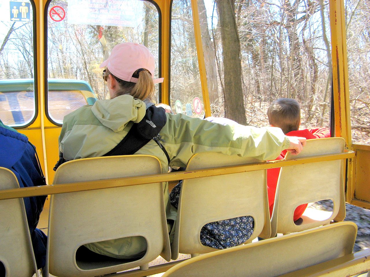
  • Verified Wikimedia Commons image of Rondeau Provincial Park
    ParkDay-trip distance

    Rondeau Provincial Park

    Straight-line distance
    about 86 km (54 mi)
    Recorded type
    provincial park of Canada

    Rondeau Provincial Park is Provincial park on a sand spit extending into Lake Erie, with Carolinian forest, dunes and beach, nearby southeast of Sarnia. Research access, facilities, and seasonal conditions with official sources before visiting.

    View place Rondeau Provincial Park, about 86 km (54 mi) from Sarnia

    Image credit: Image: Volodymyr Andrienko / Wikimedia Commons, CC BY-SA 4.0

  • Verified Wikimedia Commons image of Point Pelee National Park
    National parkDay-trip distance

    Point Pelee National Park

    Straight-line distance
    about 112 km (70 mi)
    Recorded type
    national park

    Point Pelee National Park is National park on a marsh-and-sand cape jutting into Lake Erie, mainland Canada's southernmost point, nearby south of Sarnia by road. Research access, facilities, and seasonal conditions with official sources before visiting.

    View place Point Pelee National Park, about 112 km (70 mi) from Sarnia

    Image credit: Image: Andrea_44 from Leamington, Ontario , Canada / Wikimedia Commons, CC BY 2.0