Global CityIntelligence

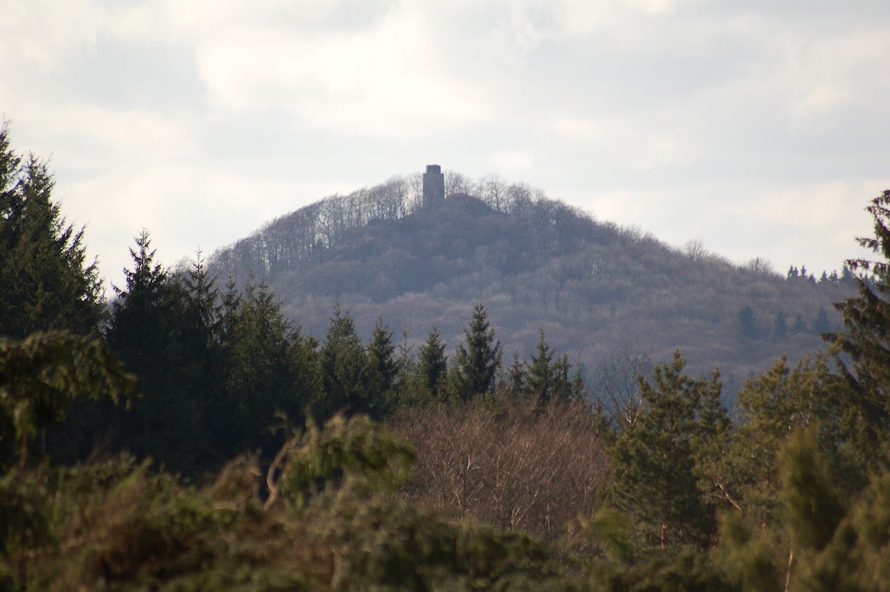
Verified Wikimedia Commons image of Koblenzer Stadtwald
Koblenzer Stadtwaldabout 7 km (4 mi) from Koblenz. Image credit: Image: H/NS LOOSEN / Wikimedia Commons, CC BY 3.0

Nature discovery

Nature Near Koblenz, Germany

Research 17 classified outdoor destinations within weekend reach of Koblenz, grouped across 7 kinds of place and ordered by measured straight-line distance from the city centre. Distances only — no travel times, schedules, or rankings.

Places listed
17
Closest
Koblenzer Stadtwald — about 7 km
Furthest listed
about 100 km
Last updated
2026-05-16
Data year
2025

How this list is built

Each place is classified from its own Wikidata type, not from its name, and is ordered by measured straight-line distance from the centre of Koblenz. Distances are great-circle kilometres between two published coordinates — this page does not publish travel times, transport schedules, opening hours, ticket prices, or rankings. Confirm access, facilities, and seasonal conditions with an official source before travelling.

How far these are

Reachability is a second axis over the same places: the category says what a destination is, the band says how far it sits from Koblenz. Distances are measured in a straight line — this page publishes no travel times.

  • 14nearby
  • 3day-trip distance

What is out there

  • 6mountains
  • 5forests
  • 5waterfalls
  • 3volcanoes
  • 2protected areas
  • 2rivers
  • 1lake

17 places near Koblenz

Ordered by straight-line distance from Koblenz, closest first. Distance bands: nearby is up to 60 km, day-trip distance is up to 120 km.

Places near Koblenz

Showing all 17 places.

  • Verified Wikimedia Commons image of Laacher See
    LakeNearby

    Laacher See

    Straight-line distance
    about 24 km (15 mi)
    Recorded type
    volcanic crater lake

    Laacher See is Volcanic crater lake in the East Eifel nearby west of Koblenz. Research access, facilities, and seasonal conditions with official sources before visiting.

    View place Laacher See, about 24 km (15 mi) from Koblenz

    Image credit: Image: Df1paw / Wikimedia Commons, CC BY-SA 4.0

  • Verified Wikimedia Commons image of Ahr Valley
    RiverNearby

    Ahr Valley

    Straight-line distance
    about 32 km (20 mi)
    Recorded type
    river

    Ahr Valley is River valley in the northern Eifel, a left Rhine tributary reaching the Rhine near Remagen, nearby north of Koblenz. Research access, facilities, and seasonal conditions with official sources before visiting.

    View place Ahr Valley, about 32 km (20 mi) from Koblenz

    Image credit: Image: User Ralfk on de.wikipedia / Wikimedia Commons, CC BY-SA 3.0

  • Verified Wikimedia Commons image of Westerwald
    MountainNearby

    Westerwald

    Straight-line distance
    about 38 km (24 mi)
    Recorded type
    mountain range

    Westerwald is Forested low mountain range on the right bank of the Rhine, immediately northeast of Koblenz. Research access, facilities, and seasonal conditions with official sources before visiting.

    View place Westerwald, about 38 km (24 mi) from Koblenz

    Image credit: Image: Nassauer27 / Wikimedia Commons, CC BY-SA 4.0

  • Verified Wikimedia Commons image of Hunsrück
    MountainNearby

    Hunsrück

    Straight-line distance
    about 41 km (25 mi)
    Recorded type
    mountain range

    Hunsrück is Triangular upland range southwest of Koblenz, bounded by the Moselle, Nahe and Rhine. Research access, facilities, and seasonal conditions with official sources before visiting.

    View place Hunsrück, about 41 km (25 mi) from Koblenz

    Image credit: Image: The original uploader was ErnstA at German Wikipedia. Later versions were uploaded by Roßbacher at de.wikipedia. / Wikimedia Commons, CC BY-SA 3.0

  • Verified Wikimedia Commons image of Hohe Acht
    VolcanoNearby

    Hohe Acht

    Straight-line distance
    about 42 km (26 mi)
    Recorded type
    volcano

    Hohe Acht is Highest peak of the Eifel range at , in the High Eifel nearby west of Koblenz. Research access, facilities, and seasonal conditions with official sources before visiting.

    View place Hohe Acht, about 42 km (26 mi) from Koblenz

    Image credit: Image: Jörg Braukmann / Wikimedia Commons, CC BY-SA 3.0

  • Verified Wikimedia Commons image of Volcanic Eifel
    VolcanoNearby

    Volcanic Eifel

    Straight-line distance
    about 43 km (27 mi)
    Recorded type
    volcanic landform

    Volcanic Eifel is Volcanic field region of craters and maar lakes in the Eifel west of Koblenz. Research access, facilities, and seasonal conditions with official sources before visiting.

    View place Volcanic Eifel, about 43 km (27 mi) from Koblenz

    Image credit: Image: Mabol! / Wikimedia Commons, CC BY-SA 3.0

  • Verified Wikimedia Commons image of Eifel
    MountainNearby

    Eifel

    Straight-line distance
    about 56 km (35 mi)
    Recorded type
    mountain range

    Eifel is Low mountain range and upland region directly west of Koblenz, part of the Rhenish Massif. Research access, facilities, and seasonal conditions with official sources before visiting.

    View place Eifel, about 56 km (35 mi) from Koblenz

    Image credit: Image: User Walter Koch on de.wikipedia / Wikimedia Commons, CC BY-SA 3.0

  • Verified Wikimedia Commons image of Little Kyll
    WaterfallDay-trip distance

    Little Kyll

    Straight-line distance
    about 62 km (38 mi)
    Recorded type
    waterfall

    Little Kyll is a waterfall reachable from Koblenz as a nearby nature destination. Research access, facilities, and seasonal conditions with official sources before visiting.

    View place Little Kyll, about 62 km (38 mi) from Koblenz

    Image credit: Image: Bungert55 ( Diskussion ) 16:21, 2. Okt. 2013 (CEST) / Wikimedia Commons, CC BY-SA 3.0