Global CityIntelligence

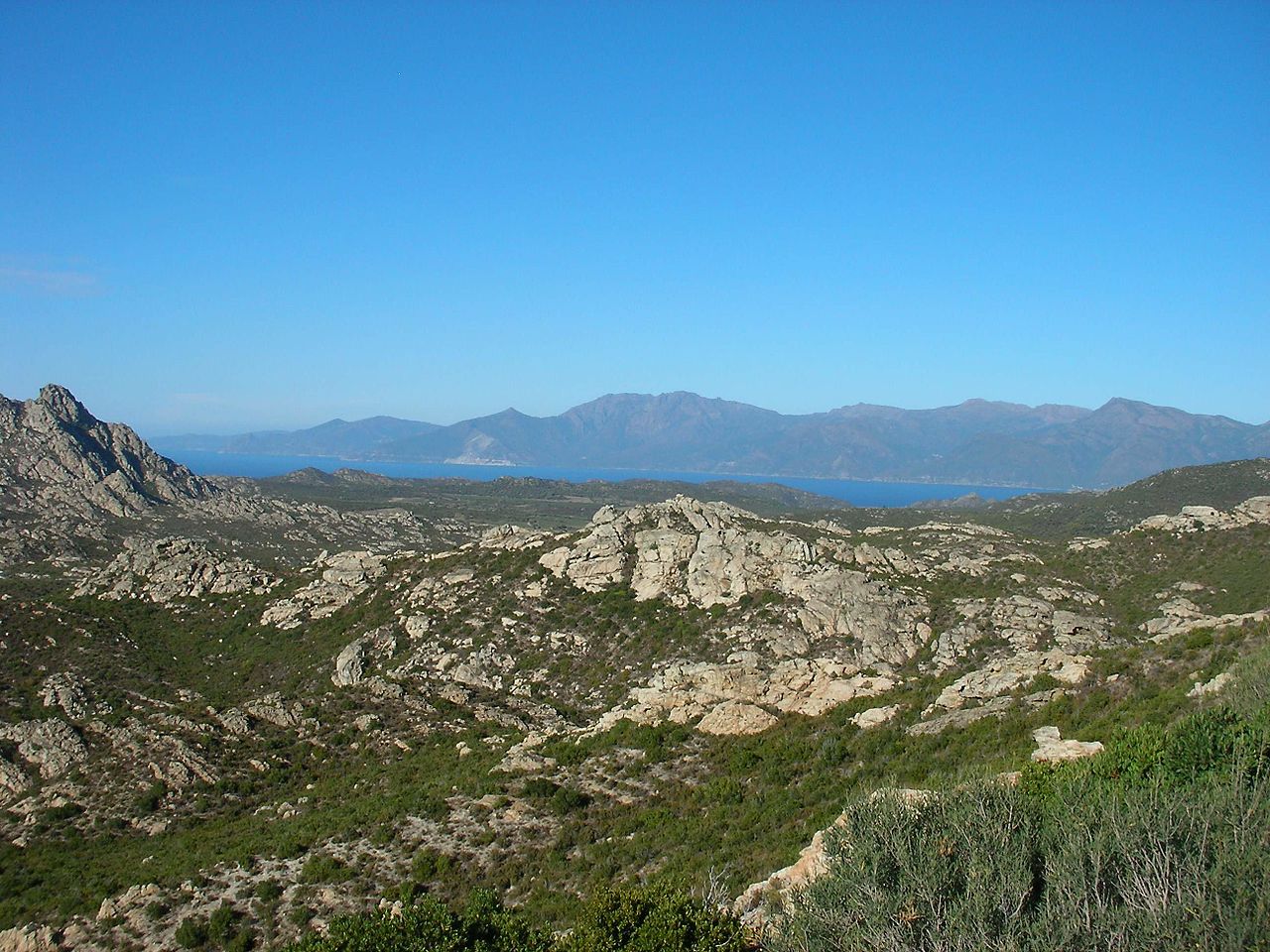
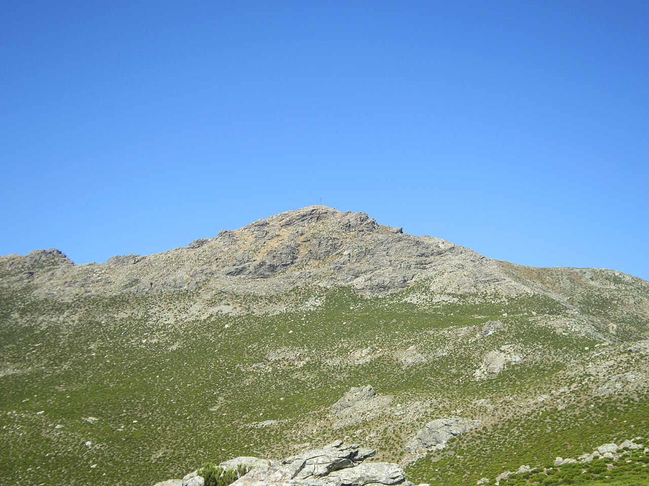
Verified Wikimedia Commons image of Monte Stello
Monte Stelloabout 10 km (6 mi) from Bastia. Image credit: Image: TeletubAstyanax / Wikimedia Commons, CC BY-SA 3.0

Nature discovery

Nature Near Bastia, France

Research 17 classified outdoor destinations within weekend reach of Bastia, grouped across 7 kinds of place and ordered by measured straight-line distance from the city centre. Distances only — no travel times, schedules, or rankings.

Places listed
17
Closest
Monte Stello — about 10 km
Furthest listed
about 70 km
Last updated
2026-05-16
Data year
2025

How this list is built

Each place is classified from its own Wikidata type, not from its name, and is ordered by measured straight-line distance from the centre of Bastia. Distances are great-circle kilometres between two published coordinates — this page does not publish travel times, transport schedules, opening hours, ticket prices, or rankings. Confirm access, facilities, and seasonal conditions with an official source before travelling.

How far these are

Reachability is a second axis over the same places: the category says what a destination is, the band says how far it sits from Bastia. Distances are measured in a straight line — this page publishes no travel times.

  • 15nearby
  • 2day-trip distance

What is out there

  • 5beaches
  • 4forests
  • 4mountains
  • 3protected areas
  • 1coast
  • 1park
  • 1river

17 places near Bastia

Ordered by straight-line distance from Bastia, closest first. Distance bands: nearby is up to 60 km, day-trip distance is up to 120 km.

Places near Bastia

Showing all 17 places.

  • Verified Wikimedia Commons image of Monte Stello
    MountainNearby

    Monte Stello

    Straight-line distance
    about 10 km (6 mi)
    Recorded type
    mountain

    Monte Stello is A peak forming the backbone of the Cap Corse peninsula, north of Bastia. Research access, facilities, and seasonal conditions with official sources before visiting.

    View place Monte Stello, about 10 km (6 mi) from Bastia

    Image credit: Image: TeletubAstyanax / Wikimedia Commons, CC BY-SA 3.0

  • Verified Wikimedia Commons image of Etang de Biguglia
    Protected areaNearby

    Etang de Biguglia

    Straight-line distance
    about 14 km (8 mi)
    Recorded type
    Natura 2000 site

    Etang de Biguglia is Corsica's largest coastal lagoon and wetland nature reserve, on the northeast coast just south of Bastia. Research access, facilities, and seasonal conditions with official sources before visiting.

    View place Etang de Biguglia, about 14 km (8 mi) from Bastia

    Image credit: Image: Pierre Bona / Wikimedia Commons, CC BY-SA 3.0

  • Verified Wikimedia Commons image of Cap Corse
    CoastNearby

    Cap Corse

    Straight-line distance
    about 15 km (9 mi)
    Recorded type
    cape

    Cap Corse is A nearby mountainous peninsula at the northern tip of Corsica, immediately north of Bastia, with a rugged coastline and ridge backbone. Research access, facilities, and seasonal conditions with official sources before visiting.

    View place Cap Corse, about 15 km (9 mi) from Bastia

    Image credit: Image: jeffwarder / Wikimedia Commons, CC BY-SA 3.0

  • Verified Wikimedia Commons image of Agriates Desert
    MountainNearby

    Agriates Desert

    Straight-line distance
    about 23 km (14 mi)
    Recorded type
    upland

    Agriates Desert is A protected coastal area of maquis and beaches with nearby of undeveloped shore, west of Bastia near Saint-Florent. Research access, facilities, and seasonal conditions with official sources before visiting.

    View place Agriates Desert, about 23 km (14 mi) from Bastia

    Image credit: Image: Gzen92 / Wikimedia Commons, CC BY-SA 4.0

  • Verified Wikimedia Commons image of Monte San Petrone
    MountainNearby

    Monte San Petrone

    Straight-line distance
    about 35 km (22 mi)
    Recorded type
    mountain

    Monte San Petrone is A schist peak, highest point of the Castagniccia region in northeastern Corsica, southwest of Bastia. Research access, facilities, and seasonal conditions with official sources before visiting.

    View place Monte San Petrone, about 35 km (22 mi) from Bastia

    Image credit: Image: Vincent Battesti / Wikimedia Commons, CC BY-SA 4.0

  • Verified Wikimedia Commons image of Lozari Beach
    BeachNearby

    Lozari Beach

    Straight-line distance
    about 36 km (22 mi)
    Recorded type
    beach

    Lozari Beach is a beach reachable from Bastia as a nearby nature destination. Research access, facilities, and seasonal conditions with official sources before visiting.

    View place Lozari Beach, about 36 km (22 mi) from Bastia

    Image credit: Image: dronepicr / Wikimedia Commons, CC BY 2.0

  • Verified Wikimedia Commons image of Rospa-Sorba
    ForestNearby

    Rospa-Sorba

    Straight-line distance
    about 50 km (31 mi)
    Recorded type
    forest

    Rospa-Sorba is a forest reachable from Bastia as a nearby nature destination. Research access, facilities, and seasonal conditions with official sources before visiting.

    View place Rospa-Sorba, about 50 km (31 mi) from Bastia

    Image credit: Image: Pierre Bona / Wikimedia Commons, CC BY-SA 3.0

  • Verified Wikimedia Commons image of Restonica
    RiverNearby

    Restonica

    Straight-line distance
    about 50 km (31 mi)
    Recorded type
    river

    Restonica is A river and glacial valley with gorges, pools and waterfalls running through the Monte Rotondo massif to Corte, in central Corsica southwest of Bastia. Research access, facilities, and seasonal conditions with official sources before visiting.

    View place Restonica, about 50 km (31 mi) from Bastia

    Image credit: Image: The original uploader was Altagna at French Wikipedia. / Wikimedia Commons, CC BY-SA 2.0 fr

  • Verified Wikimedia Commons image of Monte Cinto
    MountainNearby

    Monte Cinto

    Straight-line distance
    about 55 km (34 mi)
    Recorded type
    mountain

    Monte Cinto is The highest mountain in Corsica at , in the central massif southwest of Bastia, crossed by the GR 20 trail. Research access, facilities, and seasonal conditions with official sources before visiting.

    View place Monte Cinto, about 55 km (34 mi) from Bastia

    Image credit: Image: Chabe01 / Wikimedia Commons, CC BY-SA 4.0

  • Verified Wikimedia Commons image of Bonifatu
    ForestNearby

    Bonifatu

    Straight-line distance
    about 57 km (35 mi)
    Recorded type
    forest

    Bonifatu is a forest reachable from Bastia as a nearby nature destination. Research access, facilities, and seasonal conditions with official sources before visiting.

    View place Bonifatu, about 57 km (35 mi) from Bastia

    Image credit: Image: Pierre Bona / Wikimedia Commons, CC BY-SA 3.0

  • Verified Wikimedia Commons image of Valdu Niellu
    ForestDay-trip distance

    Valdu Niellu

    Straight-line distance
    about 64 km (40 mi)
    Recorded type
    forest

    Valdu Niellu is a forest reachable from Bastia as a nearby nature destination. Research access, facilities, and seasonal conditions with official sources before visiting.

    View place Valdu Niellu, about 64 km (40 mi) from Bastia

    Image credit: Image: Rémih / Wikimedia Commons, CC BY-SA 4.0

  • Verified Wikimedia Commons image of Regional Natural Park of Corsica
    Protected areaDay-trip distance

    Regional Natural Park of Corsica

    Straight-line distance
    about 70 km (43 mi)
    Recorded type
    protected area

    Regional Natural Park of Corsica is A regional nature park covering nearly 40% of Corsica's interior mountains and forests, extending south and southwest of Bastia. Research access, facilities, and seasonal conditions with official sources before visiting.

    View place Regional Natural Park of Corsica, about 70 km (43 mi) from Bastia

    Image credit: Image: Tom Chirossel / Wikimedia Commons, CC BY-SA 4.0