Global CityIntelligence

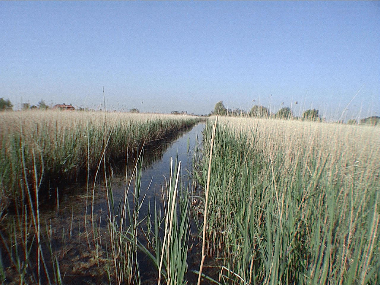
Verified Wikimedia Commons image of High Wood
High Woodabout 28 km (17 mi) from Arras. Image credit: Image: René Hourdry / Wikimedia Commons, CC BY-SA 4.0

Nature discovery

Nature Near Arras, France

Research 12 classified outdoor destinations within weekend reach of Arras, grouped across 5 kinds of place and ordered by measured straight-line distance from the city centre. Distances only — no travel times, schedules, or rankings.

Places listed
12
Closest
High Wood — about 28 km
Furthest listed
about 106 km
Last updated
2026-05-16
Data year
2025

How this list is built

Each place is classified from its own Wikidata type, not from its name, and is ordered by measured straight-line distance from the centre of Arras. Distances are great-circle kilometres between two published coordinates — this page does not publish travel times, transport schedules, opening hours, ticket prices, or rankings. Confirm access, facilities, and seasonal conditions with an official source before travelling.

How far these are

Reachability is a second axis over the same places: the category says what a destination is, the band says how far it sits from Arras. Distances are measured in a straight line — this page publishes no travel times.

  • 5nearby
  • 7day-trip distance

What is out there

  • 5forests
  • 3coast and headlands
  • 3rivers
  • 2protected areas
  • 1wetland

12 places near Arras

Ordered by straight-line distance from Arras, closest first. Distance bands: nearby is up to 60 km, day-trip distance is up to 120 km.

Places near Arras

Showing all 12 places.

  • Verified Wikimedia Commons image of High Wood
    ForestNearby

    High Wood

    Straight-line distance
    about 28 km (17 mi)
    Recorded type
    woodland

    High Wood is a woodland reachable from Arras as a nearby nature destination. Research access, facilities, and seasonal conditions with official sources before visiting.

    View place High Wood, about 28 km (17 mi) from Arras

    Image credit: Image: René Hourdry / Wikimedia Commons, CC BY-SA 4.0

  • Verified Wikimedia Commons image of Scarpe River
    RiverNearby

    Scarpe River

    Straight-line distance
    about 53 km (33 mi)
    Recorded type
    river

    Scarpe River is River and its valley that flows directly through Arras toward Douai; tributary of the Scheldt with wetland sections downstream. Research access, facilities, and seasonal conditions with official sources before visiting.

    View place Scarpe River, about 53 km (33 mi) from Arras

    Image credit: Image: Remi Mathis / Wikimedia Commons, CC BY-SA 3.0

  • Verified Wikimedia Commons image of Marais Audomarois
    Protected areaDay-trip distance

    Marais Audomarois

    Straight-line distance
    about 67 km (42 mi)
    Recorded type
    Natura 2000 site

    Marais Audomarois is Ramsar-listed market-gardening marsh and UNESCO biosphere reserve around Saint-Omer, nearby northwest of Arras. Research access, facilities, and seasonal conditions with official sources before visiting.

    View place Marais Audomarois, about 67 km (42 mi) from Arras

    Image credit: Image: Lion59 / Wikimedia Commons, CC BY-SA 3.0

  • Verified Wikimedia Commons image of Forest of Mormal
    ForestDay-trip distance

    Forest of Mormal

    Straight-line distance
    about 69 km (43 mi)
    Recorded type
    forest

    Forest of Mormal is Roughly 9,000-hectare woodland, the largest forest in the Nord department, nearby east of Arras near the Belgian border. Research access, facilities, and seasonal conditions with official sources before visiting.

    View place Forest of Mormal, about 69 km (43 mi) from Arras

    Image credit: Image: Camster / Wikimedia Commons, CC BY-SA 4.0

  • Verified Wikimedia Commons image of Bay of the Somme
    WetlandDay-trip distance

    Bay of the Somme

    Straight-line distance
    about 83 km (51 mi)
    Recorded type
    estuary

    Bay of the Somme is Large tidal estuary and Ramsar wetland on the English Channel nearby southwest of Arras, known for mudflats, marshes and seals. Research access, facilities, and seasonal conditions with official sources before visiting.

    View place Bay of the Somme, about 83 km (51 mi) from Arras

    Image credit: Image: JackyM59 / Wikimedia Commons, CC BY-SA 4.0

  • Verified Wikimedia Commons image of Authie River
    RiverDay-trip distance

    Authie River

    Straight-line distance
    about 87 km (54 mi)
    Recorded type
    river

    Authie River is nearby river and wooded valley southwest of Arras forming the Pas-de-Calais/Somme boundary, reaching a bay on the English Channel. Research access, facilities, and seasonal conditions with official sources before visiting.

    View place Authie River, about 87 km (54 mi) from Arras

    Image credit: Image: JackyM59 / Wikimedia Commons, CC BY 4.0

  • Verified Wikimedia Commons image of Opal Coast
    CoastDay-trip distance

    Opal Coast

    Straight-line distance
    about 88 km (55 mi)
    Recorded type
    coast

    Opal Coast is Stretch of Channel coastline with beaches, dunes, estuaries and chalk cliffs, about 90-nearby northwest of Arras. Research access, facilities, and seasonal conditions with official sources before visiting.

    View place Opal Coast, about 88 km (55 mi) from Arras

    Image credit: Image: Donar Reiskoffer / Wikimedia Commons, CC BY 3.0

  • Verified Wikimedia Commons image of Somme River
    RiverDay-trip distance

    Somme River

    Straight-line distance
    about 92 km (57 mi)
    Recorded type
    coastal river

    Somme River is Slow chalk-fed river with fens and flooded valley bottoms running through Picardy south of Arras toward the English Channel. Research access, facilities, and seasonal conditions with official sources before visiting.

    View place Somme River, about 92 km (57 mi) from Arras

    Image credit: Image: en:User:Donarreiskoffer / Wikimedia Commons, CC BY-SA 3.0

  • Verified Wikimedia Commons image of Cap Gris-Nez
    CoastDay-trip distance

    Cap Gris-Nez

    Straight-line distance
    about 106 km (66 mi)
    Recorded type
    cape

    Cap Gris-Nez is Sandstone-and-clay cape on the Opal Coast, the closest point of France to England, nearby northwest of Arras; a bird-migration site. Research access, facilities, and seasonal conditions with official sources before visiting.

    View place Cap Gris-Nez, about 106 km (66 mi) from Arras

    Image credit: Image: Jörg Braukmann / Wikimedia Commons, CC BY-SA 4.0