Global CityIntelligence

Verified Wikimedia Commons image of Praia da Rocha
Praia da Rochaabout 2 km (1 mi) from Portimão. Image credit: Image: Vitor Oliveira from Torres Vedras, PORTUGAL / Wikimedia Commons, CC BY-SA 2.0

Nature discovery

Nature Near Portimão, Portugal

Research 7 classified outdoor destinations within weekend reach of Portimão, grouped across 6 kinds of place and ordered by measured straight-line distance from the city centre. Distances only — no travel times, schedules, or rankings.

Places listed
7
Closest
Praia da Rocha — about 2 km
Furthest listed
about 42 km
Last updated
2026-05-16
Data year
2025

How this list is built

Each place is classified from its own Wikidata type, not from its name, and is ordered by measured straight-line distance from the centre of Portimão. Distances are great-circle kilometres between two published coordinates — this page does not publish travel times, transport schedules, opening hours, ticket prices, or rankings. Confirm access, facilities, and seasonal conditions with an official source before travelling.

How far these are

Reachability is a second axis over the same places: the category says what a destination is, the band says how far it sits from Portimão. Distances are measured in a straight line — this page publishes no travel times.

  • 7nearby

What is out there

  • 2beaches
  • 2coast and headlands
  • 2protected areas
  • 1mountain
  • 1park
  • 1river

7 places near Portimão

Ordered by straight-line distance from Portimão, closest first. Distance bands: nearby is up to 60 km.

Places near Portimão

Showing all 7 places.

  • Verified Wikimedia Commons image of Praia da Rocha
    BeachNearby

    Praia da Rocha

    Straight-line distance
    about 2 km (1 mi)
    Recorded type
    beach

    Praia da Rocha is Sandy Atlantic beach with limestone rock formations in the southern part of Portimão itself. Research access, facilities, and seasonal conditions with official sources before visiting.

    View place Praia da Rocha, about 2 km (1 mi) from Portimão

    Image credit: Image: Vitor Oliveira from Torres Vedras, PORTUGAL / Wikimedia Commons, CC BY-SA 2.0

  • Verified Wikimedia Commons image of Arade River
    RiverNearby

    Arade River

    Straight-line distance
    about 3 km (2 mi)
    Recorded type
    river

    Arade River is River valley flowing from the Serra do Caldeirão through Silves to the sea at Portimão, with two reservoirs upstream. Research access, facilities, and seasonal conditions with official sources before visiting.

    View place Arade River, about 3 km (2 mi) from Portimão

    Image credit: Image: Kolforn (Kolforn) I'd appreciate if you could mail me (Kolforn@gmail.com) if you want to use this picture out of the Wikimedia project scope. This file is licensed under the Creative Commons Attribution-Share Alike 4.0 International license. You are free: to share – to copy, distribute and transmit the work to remix – to adapt the work Under the following conditions: attribution – You must give appropriate credit, provide a link to the license, and indicate if changes were made. You may do so in any reasonable manner, but not in any way that suggests the licensor endorses you or your use. share alike – If you remix, transform, or build upon the material, you must distribute your contributions under the same or compatible license as the original.https://creativecommons.org/licenses/by-sa/4.0CC BY-SA 4.0 Creative Commons Attribution-Share Alike 4.0 truetrue / Wikimedia Commons, CC BY-SA 4.0

  • Verified Wikimedia Commons image of Praia da Marinha
    BeachNearby

    Praia da Marinha

    Straight-line distance
    about 12 km (8 mi)
    Recorded type
    beach

    Praia da Marinha is Cliff-backed beach with rock arches near Lagoa and Carvoeiro, nearby east of Portimão. Research access, facilities, and seasonal conditions with official sources before visiting.

    View place Praia da Marinha, about 12 km (8 mi) from Portimão

    Image credit: Image: Klugschnacker / Wikimedia Commons, CC BY-SA 3.0

  • Verified Wikimedia Commons image of Ponta da Piedade
    CoastNearby

    Ponta da Piedade

    Straight-line distance
    about 13 km (8 mi)
    Recorded type
    cape

    Ponta da Piedade is Coastal headland with eroded golden cliffs, arches and sea caves near Lagos, nearby west of Portimão. Research access, facilities, and seasonal conditions with official sources before visiting.

    View place Ponta da Piedade, about 13 km (8 mi) from Portimão

    Image credit: Image: Jose A. / Wikimedia Commons, CC BY 2.0

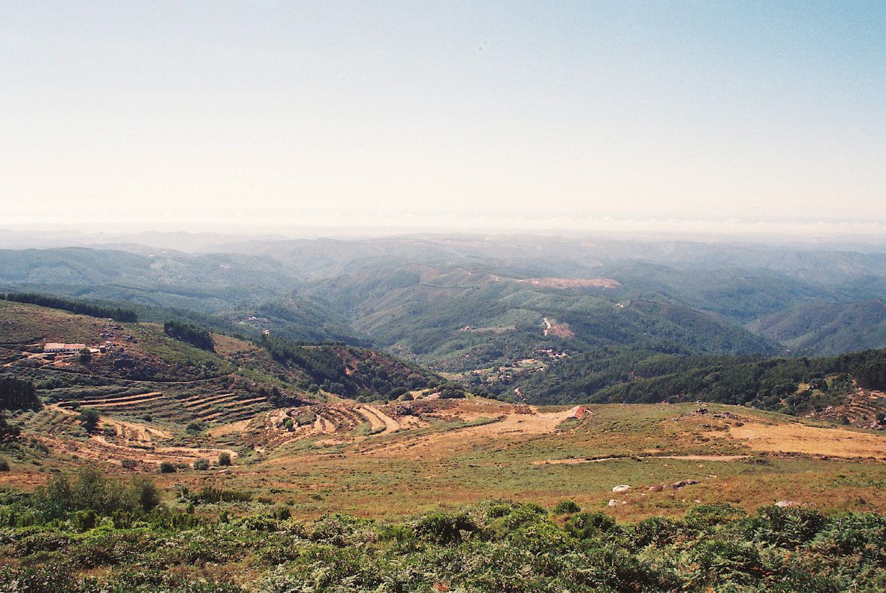
  • Verified Wikimedia Commons image of Serra de Monchique
    MountainNearby

    Serra de Monchique

    Straight-line distance
    about 21 km (13 mi)
    Recorded type
    mountain chain

    Serra de Monchique is Wooded mountain range nearby north/northwest of Portimão, the southwesternmost range of the Iberian Peninsula. Research access, facilities, and seasonal conditions with official sources before visiting.

    View place Serra de Monchique, about 21 km (13 mi) from Portimão

    Image credit: Image: Vitor Oliveira from Torres Vedras, PORTUGAL / Wikimedia Commons, CC BY 2.0

  • Verified Wikimedia Commons image of Southwest Alentejo and Vicentine Coast Natural Park
    Protected areaNearby

    Southwest Alentejo and Vicentine Coast Natural Park

    Straight-line distance
    about 41 km (25 mi)
    Recorded type
    protected area

    Southwest Alentejo and Vicentine Coast Natural Park is Protected coastal natural park along the wild western coast, northwest of Portimão extending into the western Algarve and Alentejo. Research access, facilities, and seasonal conditions with official sources before visiting.

    View place Southwest Alentejo and Vicentine Coast Natural Park, about 41 km (25 mi) from Portimão

    Image credit: Image: Pecaaes / Wikimedia Commons, CC BY-SA 4.0

  • Verified Wikimedia Commons image of Cape St. Vincent
    CoastNearby

    Cape St. Vincent

    Straight-line distance
    about 42 km (26 mi)
    Recorded type
    cape

    Cape St. Vincent is Windswept cliff headland at the southwestern tip of mainland Europe, nearby west of Portimão near Sagres. Research access, facilities, and seasonal conditions with official sources before visiting.

    View place Cape St. Vincent, about 42 km (26 mi) from Portimão

    Image credit: Image: Martin Lopatka / Wikimedia Commons, CC BY-SA 2.0