Global CityIntelligence

Verified Wikimedia Commons image of Lake Canobolas
Lake Canobolasabout 7 km (5 mi) from Orange. Image credit: Image: Nathan Carter / Wikimedia Commons, CC BY-SA 3.0

Nature discovery

Nature Near Orange, Australia

Research 7 classified outdoor destinations within weekend reach of Orange, grouped across 5 kinds of place and ordered by measured straight-line distance from the city centre. Distances only — no travel times, schedules, or rankings.

Places listed
7
Closest
Lake Canobolas — about 7 km
Furthest listed
about 119 km
Last updated
2026-05-16
Data year
2025

How this list is built

Each place is classified from its own Wikidata type, not from its name, and is ordered by measured straight-line distance from the centre of Orange. Distances are great-circle kilometres between two published coordinates — this page does not publish travel times, transport schedules, opening hours, ticket prices, or rankings. Confirm access, facilities, and seasonal conditions with an official source before travelling.

How far these are

Reachability is a second axis over the same places: the category says what a destination is, the band says how far it sits from Orange. Distances are measured in a straight line — this page publishes no travel times.

  • 4nearby
  • 3day-trip distance

What is out there

  • 3national parks
  • 2lakes
  • 1cave
  • 1mountain
  • 1volcano

7 places near Orange

Ordered by straight-line distance from Orange, closest first. Distance bands: nearby is up to 60 km, day-trip distance is up to 120 km.

Places near Orange

Showing all 7 places.

  • Verified Wikimedia Commons image of Lake Canobolas
    LakeNearby

    Lake Canobolas

    Straight-line distance
    about 7 km (5 mi)
    Recorded type
    lake

    Lake Canobolas is Man-made reservoir fed by Molong Creek nearby southwest of Orange below Mount Canobolas, with a surrounding reserve. Research access, facilities, and seasonal conditions with official sources before visiting.

    View place Lake Canobolas, about 7 km (5 mi) from Orange

    Image credit: Image: Nathan Carter / Wikimedia Commons, CC BY-SA 3.0

  • Verified Wikimedia Commons image of Mount Canobolas
    VolcanoNearby

    Mount Canobolas

    Straight-line distance
    about 13 km (8 mi)
    Recorded type
    extinct volcano

    Mount Canobolas is Dormant volcano and high peak nearby southwest of Orange, within a state conservation area with walking tracks and Federal Falls. Research access, facilities, and seasonal conditions with official sources before visiting.

    View place Mount Canobolas, about 13 km (8 mi) from Orange

    Image credit: Image: w:User:Tirin / Wikimedia Commons, CC BY-SA 3.0
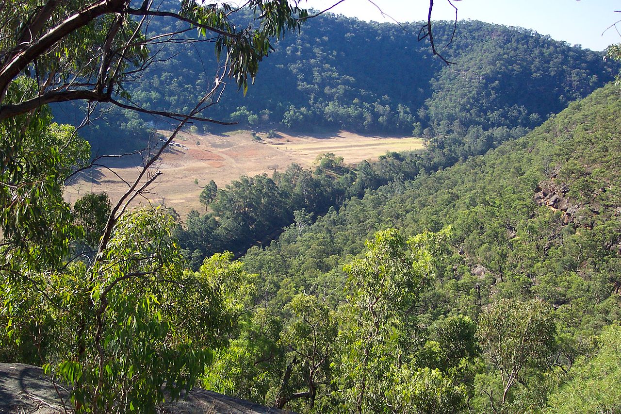
  • Verified Wikimedia Commons image of Borenore Caves
    CaveNearby

    Borenore Caves

    Straight-line distance
    about 16 km (10 mi)
    Recorded type
    karst

    Borenore Caves is Limestone karst caves within Borenore Karst Conservation Reserve nearby west of Orange, along Boree Creek. Research access, facilities, and seasonal conditions with official sources before visiting.

    View place Borenore Caves, about 16 km (10 mi) from Orange

    Image credit: Image: Brianna714 / Wikimedia Commons, CC BY-SA 4.0

  • Verified Wikimedia Commons image of Nangar National Park
    National parkNearby

    Nangar National Park

    Straight-line distance
    about 51 km (32 mi)
    Recorded type
    national park of Australia

    Nangar National Park is National park in the Nangar-Murga Range between Eugowra and Canowindra, roughly 50-nearby southwest of Orange, with Nangar Mountain. Research access, facilities, and seasonal conditions with official sources before visiting.

    View place Nangar National Park, about 51 km (32 mi) from Orange

    Image credit: Image: AndrewJohnMitchell / Wikimedia Commons, CC BY-SA 2.0

  • Verified Wikimedia Commons image of Lake Burrendong
    LakeDay-trip distance

    Lake Burrendong

    Straight-line distance
    about 69 km (43 mi)
    Recorded type
    reservoir

    Lake Burrendong is Large reservoir on the Macquarie and Cudgegong rivers near Wellington, nearby northwest of Orange. Research access, facilities, and seasonal conditions with official sources before visiting.

    View place Lake Burrendong, about 69 km (43 mi) from Orange

    Image credit: Image: Ian Sutton / Wikimedia Commons, CC BY 2.0

  • Verified Wikimedia Commons image of Goobang National Park
    National parkDay-trip distance

    Goobang National Park

    Straight-line distance
    about 93 km (58 mi)
    Recorded type
    national park of Australia

    Goobang National Park is Largest remnant forest and woodland in the central west, in the Hervey Range near Parkes, northwest of Orange. Research access, facilities, and seasonal conditions with official sources before visiting.

    View place Goobang National Park, about 93 km (58 mi) from Orange

    Image credit: Image: Calistemon / Wikimedia Commons, CC BY-SA 4.0

  • Verified Wikimedia Commons image of Wollemi National Park
    National parkDay-trip distance

    Wollemi National Park

    Straight-line distance
    about 119 km (74 mi)
    Recorded type
    national park of Australia

    Wollemi National Park is World Heritage-listed wilderness of cliffs, canyons and rivers; its western edge near Rylstone and the Capertee Valley lies northeast of Orange. Research access, facilities, and seasonal conditions with official sources before visiting.

    View place Wollemi National Park, about 119 km (74 mi) from Orange

    Image credit: Image: Tnarg 12345 at English Wikipedia / Wikimedia Commons, CC BY-SA 3.0