Research source-backed public places within weekend reach of Khmelnytskyi. The records on this page are planning candidates — not a route planner, not a tourism ranking, not a live schedule, and not a price guide. Verify access, transport, weather, opening status, and seasonal conditions with the official source linked on each record before departure.
Cities and natural destinations already indexed on this site, grouped by measured straight-line distance from the city centre. Distances are geographic, not travel times — check routes and schedules with a transport operator before travelling.
Close to the city
Within 60 km of the city centre, measured in a straight line.
The nature layer groups these same records by what kind of outdoor place each one is — lakes, mountains, forests, beaches, protected areas — and orders them by measured straight-line distance from Khmelnytskyi.
Start from your own city
This page helps users research nearby weekend places connected to Khmelnytskyi, Ukraine, as a starting point for local-first weekend rest. It is not a route planner, ticket guide, events page, tourism ranking, or live availability source. Records are planning candidates only.
Records do not publish exact distances, travel times, transport schedules, opening hours, ticket prices, restaurant or hotel recommendations, attraction rankings, or live access status. Confirm time-sensitive details with the official park, museum, transport authority, or municipal source linked on each record.
Each card opens an official source where Wikidata lists one, plus links to the connected city, country profile, and the detail page for verified records. Records are unordered and not ranked; verify access and conditions with the official source before departure.
Nearby weekend places from Khmelnytskyi
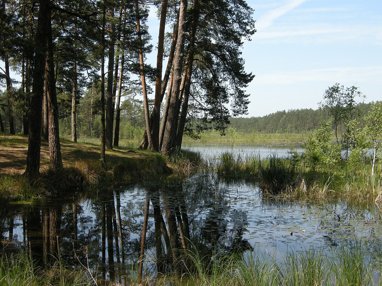
Image: Dima Sergiyenko; Please attribute this image as the work of "DiscoverWithDima." / Wikimedia Commons, CC BY-SA 4.0. Visual context only.
Ukraine · Eastern Europe
Bakota
Waterfront
Bakota is Flooded former village on the Dniester Reservoir with steep cliffs and water recreation, nearby south of Khmelnytskyi. Research access, facilities, and seasonal conditions with official sources before visiting.
Bubnivskyi Forest is a forest reserve reachable from Khmelnytskyi as a nearby nature destination. Research access, facilities, and seasonal conditions with official sources before visiting.
Buchyna Forestry Preserve is a forest reserve reachable from Khmelnytskyi as a nearby nature destination. Research access, facilities, and seasonal conditions with official sources before visiting.
Chornyi Forest, Yarmolyntsi Raion is a forest reserve reachable from Khmelnytskyi as a nearby nature destination. Research access, facilities, and seasonal conditions with official sources before visiting.
Dzhurynskyi Waterfall is Cascading waterfall on the Dzhuryn river at Nyrkiv, nearby west-southwest of Khmelnytskyi in Ternopil Oblast. Research access, facilities, and seasonal conditions with official sources before visiting.
Khotyn National Nature Park is National nature park along a segment of the Dniester River canyon and reservoir, nearby southwest of Khmelnytskyi in Chernivtsi Oblast. Research access, facilities, and seasonal conditions with official sources before visiting.
Kremenets Mountains National Nature Park is National nature park over eroded hills and ridges of the Holohory-Kremenets Ridge, nearby northwest of Khmelnytskyi in Ternopil Oblast. Research access, facilities, and seasonal conditions with official sources before visiting.
Lower Polissia National Nature Park is National nature park of lakes, wetlands and river valleys (Horyn, Viliia) nearby north of Khmelnytskyi near Slavuta. Research access, facilities, and seasonal conditions with official sources before visiting.
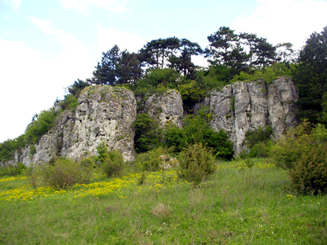
Medobory Nature Reserve is Forested limestone reserve on the Tovtry (Toltry) ridge in the Podolian Upland, nearby west of Khmelnytskyi in Ternopil Oblast. Research access, facilities, and seasonal conditions with official sources before visiting.
Podilski Tovtry National Nature Park is Large national nature park over the Tovtry limestone ridge and river valleys, nearby southwest of Khmelnytskyi near Kamianets-Podilskyi. Research access, facilities, and seasonal conditions with official sources before visiting.
Sokolivshchyna Forestry Preserve is a forest reserve reachable from Khmelnytskyi as a nearby nature destination. Research access, facilities, and seasonal conditions with official sources before visiting.
Upper Pobuzhzhia National Nature Park is National nature park along the upper Southern Bug river valley, nearby east of Khmelnytskyi; nearest city is Khmelnytskyi itself. Research access, facilities, and seasonal conditions with official sources before visiting.
Yevelina Forestry Preserve is a forest reserve reachable from Khmelnytskyi as a nearby nature destination. Research access, facilities, and seasonal conditions with official sources before visiting.
This page is a planning surface. Records do not publish exact distances, travel times, transport schedules, opening hours, ticket prices, restaurant or hotel recommendations, attraction rankings, or live access status.
Start with the Khmelnytskyi city profile to anchor the location and country context.
Compare the nearby place records above against your origin city’s transport and access patterns.
Open the detail page for any record marked “Verified source record” to see the official source, Wikidata identity, and visual context.
Check the official source linked on each record for current opening, access, seasonal status, and conditions before departure.
Use the travel budget calculator for user-entered estimates — the platform does not publish ticket prices, transport schedules, or hotel/flight prices.
Confirm route, weather, opening/access status, and costs from official or trusted current sources before departure.
Verification status legend
The status shown on each card reflects the level of source verification: a matched Wikidata identity together with an official URL is shown as verified, an identity match without a confirmed official URL is shown as partially verified, and records not yet matched to a stable identifier are shown as pending review.
Verified source record
3
Partially verified source record
10
Sources and methodology
Nearby weekend places are sourced exclusively from Wikidata — primary identifier (QID), coordinates (P625), and official website (P856) — together with the linked operator (park authority, municipality, heritage body, or UNESCO official page) where Wikidata’s P856 points at it. Records do not publish fixed itineraries, attraction rankings, restaurant or hotel recommendations, event or festival dates, ticket prices, hotel or flight prices, opening hours, transport schedules, exact travel times, exact distances, weather forecasts, crime rates, or any “best” / “must-see” / “safest” / “cheapest” claims. Verify access, opening times, weather, health, and safety details with the official source linked on each record before departure. Read the scoring methodology for how structured indicators are constructed, and the data sources registry for the official publishers cited across the platform.
Continue exploring
Open related platform layers behind Khmelnytskyi weekend research. Verify events, opening hours, transport, weather, health, and safety details with official or trusted current sources before departure.