Global CityIntelligence

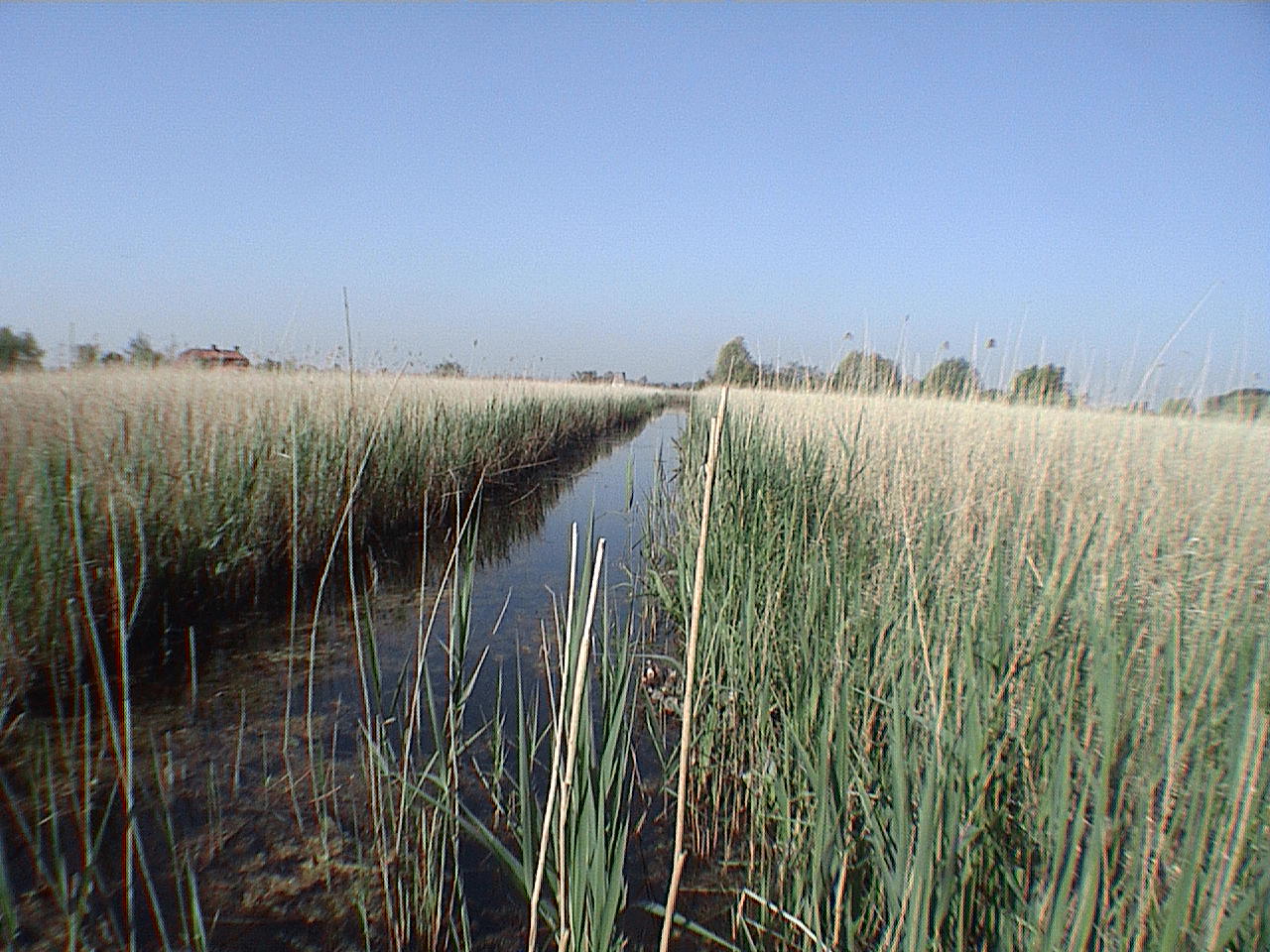
Verified Wikimedia Commons image of Galgebossen
Galgebossenabout 6 km (4 mi) from Ypres. Image credit: Image: FrDr / Wikimedia Commons, CC BY-SA 4.0

Nature discovery

Nature Near Ypres, Belgium

Research 12 classified outdoor destinations within weekend reach of Ypres, grouped across 6 kinds of place and ordered by measured straight-line distance from the city centre. Distances only — no travel times, schedules, or rankings.

Places listed
12
Closest
Galgebossen — about 6 km
Furthest listed
about 90 km
Last updated
2026-05-16
Data year
2025

How this list is built

Each place is classified from its own Wikidata type, not from its name, and is ordered by measured straight-line distance from the centre of Ypres. Distances are great-circle kilometres between two published coordinates — this page does not publish travel times, transport schedules, opening hours, ticket prices, or rankings. Confirm access, facilities, and seasonal conditions with an official source before travelling.

How far these are

Reachability is a second axis over the same places: the category says what a destination is, the band says how far it sits from Ypres. Distances are measured in a straight line — this page publishes no travel times.

  • 10nearby
  • 2day-trip distance

What is out there

  • 5forests
  • 5protected areas
  • 3mountains
  • 2coast and headlands
  • 1river
  • 1wetland

12 places near Ypres

Ordered by straight-line distance from Ypres, closest first. Distance bands: nearby is up to 60 km, day-trip distance is up to 120 km.

Places near Ypres

Showing all 12 places.

  • Verified Wikimedia Commons image of Galgebossen
    ForestNearby

    Galgebossen

    Straight-line distance
    about 6 km (4 mi)
    Recorded type
    forest

    Galgebossen is a forest reachable from Ypres as a nearby nature destination. Research access, facilities, and seasonal conditions with official sources before visiting.

    View place Galgebossen, about 6 km (4 mi) from Ypres

    Image credit: Image: FrDr / Wikimedia Commons, CC BY-SA 4.0

  • Verified Wikimedia Commons image of Sanctuary Wood
    ForestNearby

    Sanctuary Wood

    Straight-line distance
    about 6 km (4 mi)
    Recorded type
    forest

    Sanctuary Wood is a forest reachable from Ypres as a nearby nature destination. Research access, facilities, and seasonal conditions with official sources before visiting.

    View place Sanctuary Wood, about 6 km (4 mi) from Ypres

    Image credit: Image: Decoodt, Hannelore / Wikimedia Commons, CC BY 4.0

  • Verified Wikimedia Commons image of Kemmelberg
    MountainNearby

    Kemmelberg

    Straight-line distance
    about 10 km (6 mi)
    Recorded type
    hill

    Kemmelberg is Highest hill in West Flanders (), part of the West-Flemish Hills (Heuvelland), nearby southwest of Ypres. Research access, facilities, and seasonal conditions with official sources before visiting.

    View place Kemmelberg, about 10 km (6 mi) from Ypres

    Image credit: Image: The original uploader was Jeanjvc at French Wikipedia. / Wikimedia Commons, CC BY-SA 2.0 be

  • Verified Wikimedia Commons image of Mont Noir
    MountainNearby

    Mont Noir

    Straight-line distance
    about 13 km (8 mi)
    Recorded type
    hill

    Mont Noir is hill on the French-Belgian border in Flanders, with woodland and viewpoints, nearby southwest of Ypres. Research access, facilities, and seasonal conditions with official sources before visiting.

    View place Mont Noir, about 13 km (8 mi) from Ypres

    Image credit: Image: Jpcuvelier / Wikimedia Commons, CC BY-SA 4.0

  • Verified Wikimedia Commons image of Eversambos
    ForestNearby

    Eversambos

    Straight-line distance
    about 15 km (9 mi)
    Recorded type
    forest

    Eversambos is a forest reachable from Ypres as a nearby nature destination. Research access, facilities, and seasonal conditions with official sources before visiting.

    View place Eversambos, about 15 km (9 mi) from Ypres

    Image credit: Image: Slavik at Dutch Wikipedia / Wikimedia Commons, CC BY-SA 3.0

  • Verified Wikimedia Commons image of Mont Cassel
    MountainNearby

    Mont Cassel

    Straight-line distance
    about 28 km (17 mi)
    Recorded type
    outlier

    Mont Cassel is isolated hill, highest of the Westhoek, overlooking the Flemish plain, nearby west of Ypres in northern France. Research access, facilities, and seasonal conditions with official sources before visiting.

    View place Mont Cassel, about 28 km (17 mi) from Ypres

    Image credit: Image: Pichasso / Wikimedia Commons, CC BY-SA 3.0

  • Verified Wikimedia Commons image of Yser
    RiverNearby

    Yser

    Straight-line distance
    about 34 km (21 mi)
    Recorded type
    coastal river

    Yser is River (IJzer) flowing through French and Belgian Flanders to the North Sea at Nieuwpoort, its valley wetlands lying north of Ypres. Research access, facilities, and seasonal conditions with official sources before visiting.

    View place Yser, about 34 km (21 mi) from Ypres

    Image credit: Image: User:LimoWreck / Wikimedia Commons, CC BY 2.5

  • Verified Wikimedia Commons image of Marais Audomarois
    Protected areaNearby

    Marais Audomarois

    Straight-line distance
    about 45 km (28 mi)
    Recorded type
    Natura 2000 site

    Marais Audomarois is Ramsar wetland and biosphere reserve of marshes around Saint-Omer, nearby southwest of Ypres in northern France. Research access, facilities, and seasonal conditions with official sources before visiting.

    View place Marais Audomarois, about 45 km (28 mi) from Ypres

    Image credit: Image: Lion59 / Wikimedia Commons, CC BY-SA 3.0

  • Verified Wikimedia Commons image of Zwin
    WetlandDay-trip distance

    Zwin

    Straight-line distance
    about 67 km (41 mi)
    Recorded type
    marsh

    Zwin is Coastal nature reserve of tidal mudflats and salt marshes on the Belgian-Dutch border, nearby north of Ypres. Research access, facilities, and seasonal conditions with official sources before visiting.

    View place Zwin, about 67 km (41 mi) from Ypres

    Image credit: Image: Donar Reiskoffer / Wikimedia Commons, CC BY 3.0

  • Verified Wikimedia Commons image of Cap Gris-Nez
    CoastDay-trip distance

    Cap Gris-Nez

    Straight-line distance
    about 90 km (56 mi)
    Recorded type
    cape

    Cap Gris-Nez is Protected cliff cape and coastal nature site on the Côte d'Opale, France's closest point to England, nearby southwest of Ypres. Research access, facilities, and seasonal conditions with official sources before visiting.

    View place Cap Gris-Nez, about 90 km (56 mi) from Ypres

    Image credit: Image: Jörg Braukmann / Wikimedia Commons, CC BY-SA 4.0