Research source-backed public places within weekend reach of Piacenza. The records on this page are planning candidates — not a route planner, not a tourism ranking, not a live schedule, and not a price guide. Verify access, transport, weather, opening status, and seasonal conditions with the official source linked on each record before departure.
This page helps users research nearby weekend places connected to Piacenza, Italy, as a starting point for local-first weekend rest. It is not a route planner, ticket guide, events page, tourism ranking, or live availability source. Records are planning candidates only.
Records do not publish exact distances, travel times, transport schedules, opening hours, ticket prices, restaurant or hotel recommendations, attraction rankings, or live access status. Confirm time-sensitive details with the official park, museum, transport authority, or municipal source linked on each record.
Each card opens an official source where Wikidata lists one, plus links to the connected city, country profile, and the detail page for verified records. Records are unordered and not ranked; verify access and conditions with the official source before departure.
Antola Natural Regional Park is Regional nature park on the Trebbia-Scrivia divide centered on Monte Antola, southwest of Piacenza in the Genoa hinterland. Research access, facilities, and seasonal conditions with official sources before visiting.
Appennino Tosco-Emiliano National Park is National park along the Apennine ridge separating Emilia from Tuscany, with peaks over , lakes and beech forests, southeast of Piacenza. Research access, facilities, and seasonal conditions with official sources before visiting.
Monte Alfeo is forested pyramid-shaped peak of the Monte Antola group above the Val Trebbia, in Ottone, province of Piacenza, south of the city. Research access, facilities, and seasonal conditions with official sources before visiting.
Monte Lesima is Ligurian Apennine peak on the Pavia-Piacenza provincial border southwest of Piacenza, between Trebbia tributaries. Research access, facilities, and seasonal conditions with official sources before visiting.
Image: The original uploader was Franco.luigi.mazza at Italian Wikipedia. / Wikimedia Commons, CC BY-SA 3.0. Visual context only.
Italy · Southern Europe
Monte Maggiorasca
Mountain area
Monte Maggiorasca is highest peak of the Ligurian Apennines on the Liguria-Emilia-Romagna border south of Piacenza, in the Aveto area. Research access, facilities, and seasonal conditions with official sources before visiting.
Image: The original uploader was Vengomatto at Italian Wikipedia. / Wikimedia Commons, CC BY-SA 3.0. Visual context only.
Italy · Southern Europe
Monte Penna
Mountain area
Monte Penna is rocky peak on the Liguria-Emilia border within the Aveto regional park, source area of the Taro and Ceno rivers, south of Piacenza. Research access, facilities, and seasonal conditions with official sources before visiting.
Stirone River is River forming part of the Piacenza-Parma boundary; centerpiece of the Stirone and Piacenziano regional park with fossil-bearing badlands, southeast of Piacenza. Research access, facilities, and seasonal conditions with official sources before visiting.
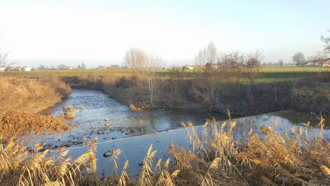
Trebbia River is Apennine river and protected river valley flowing into the Po just west of Piacenza; gravel braided riverbed with a regional river park. Research access, facilities, and seasonal conditions with official sources before visiting.
This page is a planning surface. Records do not publish exact distances, travel times, transport schedules, opening hours, ticket prices, restaurant or hotel recommendations, attraction rankings, or live access status.
Start with the Piacenza city profile to anchor the location and country context.
Compare the nearby place records above against your origin city’s transport and access patterns.
Open the detail page for any record marked “Verified source record” to see the official source, Wikidata identity, and visual context.
Check the official source linked on each record for current opening, access, seasonal status, and conditions before departure.
Use the travel budget calculator for user-entered estimates — the platform does not publish ticket prices, transport schedules, or hotel/flight prices.
Confirm route, weather, opening/access status, and costs from official or trusted current sources before departure.
Verification status legend
The status shown on each card reflects the level of source verification: a matched Wikidata identity together with an official URL is shown as verified, an identity match without a confirmed official URL is shown as partially verified, and records not yet matched to a stable identifier are shown as pending review.
Verified source record
2
Partially verified source record
6
Sources and methodology
Nearby weekend places are sourced exclusively from Wikidata — primary identifier (QID), coordinates (P625), and official website (P856) — together with the linked operator (park authority, municipality, heritage body, or UNESCO official page) where Wikidata’s P856 points at it. Records do not publish fixed itineraries, attraction rankings, restaurant or hotel recommendations, event or festival dates, ticket prices, hotel or flight prices, opening hours, transport schedules, exact travel times, exact distances, weather forecasts, crime rates, or any “best” / “must-see” / “safest” / “cheapest” claims. Verify access, opening times, weather, health, and safety details with the official source linked on each record before departure. Read the scoring methodology for how structured indicators are constructed, and the data sources registry for the official publishers cited across the platform.
Continue exploring
Open related platform layers behind Piacenza weekend research. Verify events, opening hours, transport, weather, health, and safety details with official or trusted current sources before departure.