Research source-backed public places within weekend reach of Olbia. The records on this page are planning candidates — not a route planner, not a tourism ranking, not a live schedule, and not a price guide. Verify access, transport, weather, opening status, and seasonal conditions with the official source linked on each record before departure.
This page helps users research nearby weekend places connected to Olbia, Italy, as a starting point for local-first weekend rest. It is not a route planner, ticket guide, events page, tourism ranking, or live availability source. Records are planning candidates only.
Records do not publish exact distances, travel times, transport schedules, opening hours, ticket prices, restaurant or hotel recommendations, attraction rankings, or live access status. Confirm time-sensitive details with the official park, museum, transport authority, or municipal source linked on each record.
Each card opens an official source where Wikidata lists one, plus links to the connected city, country profile, and the detail page for verified records. Records are unordered and not ranked; verify access and conditions with the official source before departure.
Arcipelago di La Maddalena National Park is Geomarine national park of islands and coast in the Strait of Bonifacio north of Olbia, covering over 12,000 hectares. Research access, facilities, and seasonal conditions with official sources before visiting.
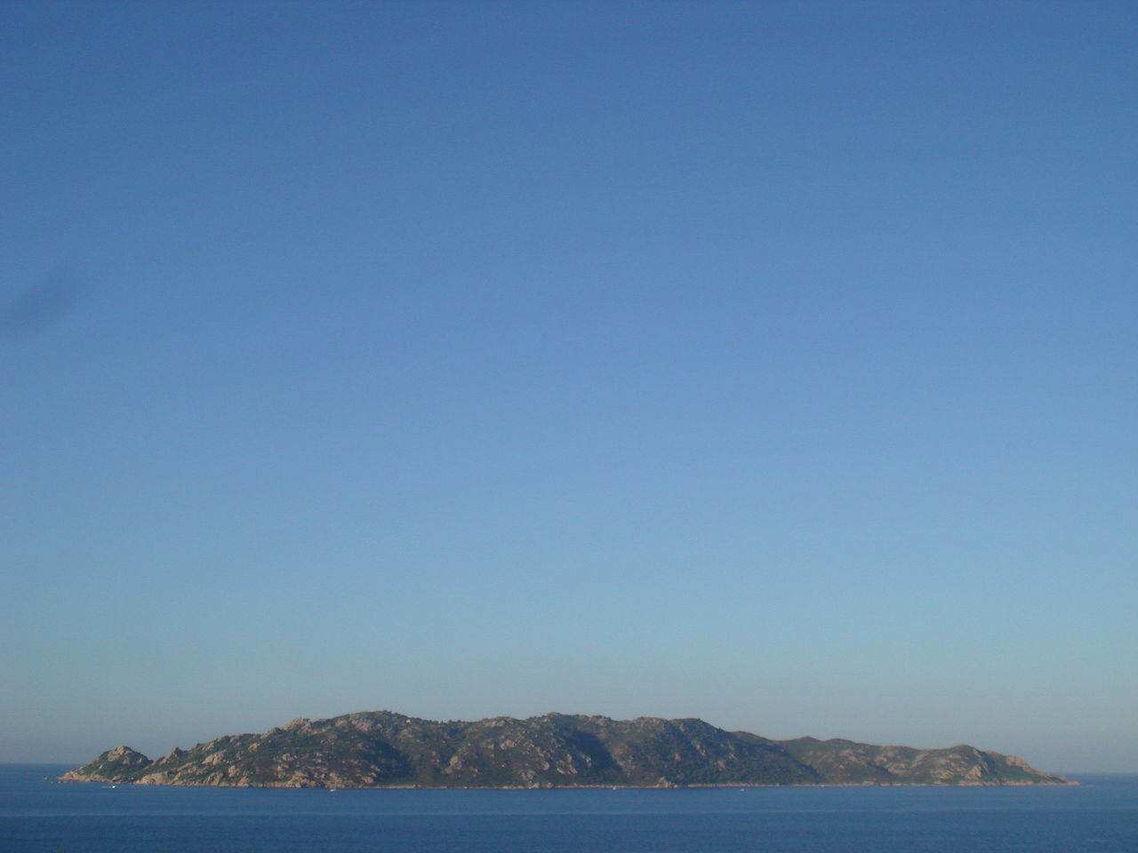
Caprera is Granite island in the Maddalena archipelago north of Olbia, a designated nature reserve with Mediterranean scrub and a high point of . Research access, facilities, and seasonal conditions with official sources before visiting.
Gulf of Orosei and Gennargentu National Park is National park on the east coast of Sardinia south of Olbia, with limestone cliffs, coves and the Gennargentu range including Sardinia's highest peak. Research access, facilities, and seasonal conditions with official sources before visiting.
Lake Coghinas is Artificial reservoir in northern Sardinia west of Olbia, about 17.8 km2, formed by a 1924 dam on the Coghinas river. Research access, facilities, and seasonal conditions with official sources before visiting.
Molara Island is Granite island east-southeast of Olbia within the Tavolara-Punta Coda Cavallo marine protected area, uninhabited and reaching . Research access, facilities, and seasonal conditions with official sources before visiting.
Mount Limbara is Granitic mountain massif in inland Gallura west of Olbia, highest peak Punta Sa Berritta at , covered in Mediterranean scrub and woodland. Research access, facilities, and seasonal conditions with official sources before visiting.
Spargi is Uninhabited granite island in the Maddalena archipelago north of Olbia, marked by coves and sandy beaches, within the national park. Research access, facilities, and seasonal conditions with official sources before visiting.
Tavolara Island is Limestone island rising about from the sea, just off the coast southeast of Olbia, part of the Tavolara-Punta Coda Cavallo marine protected area. Research access, facilities, and seasonal conditions with official sources before visiting.
This page is a planning surface. Records do not publish exact distances, travel times, transport schedules, opening hours, ticket prices, restaurant or hotel recommendations, attraction rankings, or live access status.
Start with the Olbia city profile to anchor the location and country context.
Compare the nearby place records above against your origin city’s transport and access patterns.
Open the detail page for any record marked “Verified source record” to see the official source, Wikidata identity, and visual context.
Check the official source linked on each record for current opening, access, seasonal status, and conditions before departure.
Use the travel budget calculator for user-entered estimates — the platform does not publish ticket prices, transport schedules, or hotel/flight prices.
Confirm route, weather, opening/access status, and costs from official or trusted current sources before departure.
Verification status legend
The status shown on each card reflects the level of source verification: a matched Wikidata identity together with an official URL is shown as verified, an identity match without a confirmed official URL is shown as partially verified, and records not yet matched to a stable identifier are shown as pending review.
Verified source record
2
Partially verified source record
6
Sources and methodology
Nearby weekend places are sourced exclusively from Wikidata — primary identifier (QID), coordinates (P625), and official website (P856) — together with the linked operator (park authority, municipality, heritage body, or UNESCO official page) where Wikidata’s P856 points at it. Records do not publish fixed itineraries, attraction rankings, restaurant or hotel recommendations, event or festival dates, ticket prices, hotel or flight prices, opening hours, transport schedules, exact travel times, exact distances, weather forecasts, crime rates, or any “best” / “must-see” / “safest” / “cheapest” claims. Verify access, opening times, weather, health, and safety details with the official source linked on each record before departure. Read the scoring methodology for how structured indicators are constructed, and the data sources registry for the official publishers cited across the platform.
Continue exploring
Open related platform layers behind Olbia weekend research. Verify events, opening hours, transport, weather, health, and safety details with official or trusted current sources before departure.