Nearby Weekend Places from Wiener Neustadt, Austria
Research source-backed public places within weekend reach of Wiener Neustadt. The records on this page are planning candidates — not a route planner, not a tourism ranking, not a live schedule, and not a price guide. Verify access, transport, weather, opening status, and seasonal conditions with the official source linked on each record before departure.
This page helps users research nearby weekend places connected to Wiener Neustadt, Austria, as a starting point for local-first weekend rest. It is not a route planner, ticket guide, events page, tourism ranking, or live availability source. Records are planning candidates only.
Records do not publish exact distances, travel times, transport schedules, opening hours, ticket prices, restaurant or hotel recommendations, attraction rankings, or live access status. Confirm time-sensitive details with the official park, museum, transport authority, or municipal source linked on each record.
Each card opens an official source where Wikidata lists one, plus links to the connected city, country profile, and the detail page for verified records. Records are unordered and not ranked; verify access and conditions with the official source before departure.
Hoellental is Narrow nearby river valley of the Schwarza between the Schneeberg and Rax massifs, nearby southwest of Wiener Neustadt; part of a Natura 2000 area. Research access, facilities, and seasonal conditions with official sources before visiting.
Hohe Wand is Limestone plateau ridge of the Gutenstein Alps rising above the Vienna Basin, nearby west of Wiener Neustadt; part is a designated nature park. Research access, facilities, and seasonal conditions with official sources before visiting.
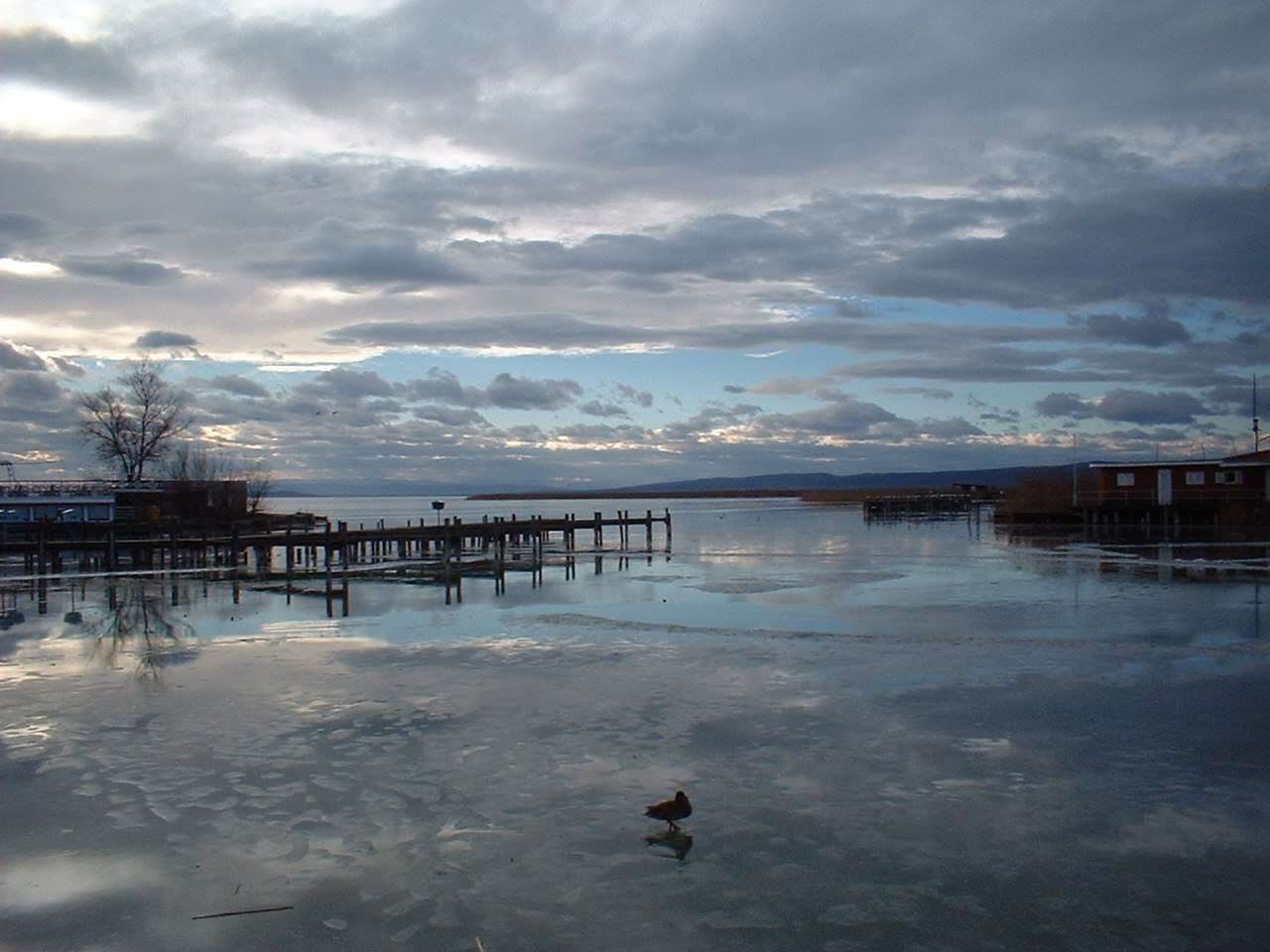
Lake Neusiedl is Large endorheic steppe lake straddling Austria and Hungary and a UNESCO site, nearby east of Wiener Neustadt. Research access, facilities, and seasonal conditions with official sources before visiting.
Myra Falls is Series of waterfalls and ravine cut by the Myrabach near Muggendorf, nearby northwest of Wiener Neustadt. Research access, facilities, and seasonal conditions with official sources before visiting.
Schneeberg is Highest mountain of Lower Austria (), a limestone massif of the Northern Calcareous Alps nearby southwest of Wiener Neustadt. Research access, facilities, and seasonal conditions with official sources before visiting.
Image: The original uploader was Popmuseum at German Wikipedia. (Original text: Popmuseum 23:05, 3. Aug. 2007 (CEST)) / Wikimedia Commons, CC BY-SA 3.0. Visual context only.
Austria · Central Europe
Semmering Pass
Mountain area
Semmering Pass is Mountain pass () in the Northern Limestone Alps forming the Lower Austria-Styria border, nearby southwest of Wiener Neustadt. Research access, facilities, and seasonal conditions with official sources before visiting.
Unterberg is Forested limestone peak () in the Gutenstein Alps, nearby northwest of Wiener Neustadt near Pernitz. Research access, facilities, and seasonal conditions with official sources before visiting.
Vienna Woods is Forested highlands forming the foothills of the Northern Limestone Alps and a biosphere reserve, extending north and northwest of Wiener Neustadt. Research access, facilities, and seasonal conditions with official sources before visiting.
This page is a planning surface. Records do not publish exact distances, travel times, transport schedules, opening hours, ticket prices, restaurant or hotel recommendations, attraction rankings, or live access status.
Start with the Wiener Neustadt city profile to anchor the location and country context.
Compare the nearby place records above against your origin city’s transport and access patterns.
Open the detail page for any record marked “Verified source record” to see the official source, Wikidata identity, and visual context.
Check the official source linked on each record for current opening, access, seasonal status, and conditions before departure.
Use the travel budget calculator for user-entered estimates — the platform does not publish ticket prices, transport schedules, or hotel/flight prices.
Confirm route, weather, opening/access status, and costs from official or trusted current sources before departure.
Verification status legend
The status shown on each card reflects the level of source verification: a matched Wikidata identity together with an official URL is shown as verified, an identity match without a confirmed official URL is shown as partially verified, and records not yet matched to a stable identifier are shown as pending review.
Verified source record
1
Partially verified source record
7
Sources and methodology
Nearby weekend places are sourced exclusively from Wikidata — primary identifier (QID), coordinates (P625), and official website (P856) — together with the linked operator (park authority, municipality, heritage body, or UNESCO official page) where Wikidata’s P856 points at it. Records do not publish fixed itineraries, attraction rankings, restaurant or hotel recommendations, event or festival dates, ticket prices, hotel or flight prices, opening hours, transport schedules, exact travel times, exact distances, weather forecasts, crime rates, or any “best” / “must-see” / “safest” / “cheapest” claims. Verify access, opening times, weather, health, and safety details with the official source linked on each record before departure. Read the scoring methodology for how structured indicators are constructed, and the data sources registry for the official publishers cited across the platform.
Continue exploring
Open related platform layers behind Wiener Neustadt weekend research. Verify events, opening hours, transport, weather, health, and safety details with official or trusted current sources before departure.