Research source-backed public places within weekend reach of Sint-Niklaas. The records on this page are planning candidates — not a route planner, not a tourism ranking, not a live schedule, and not a price guide. Verify access, transport, weather, opening status, and seasonal conditions with the official source linked on each record before departure.
This page helps users research nearby weekend places connected to Sint-Niklaas, Belgium, as a starting point for local-first weekend rest. It is not a route planner, ticket guide, events page, tourism ranking, or live availability source. Records are planning candidates only.
Records do not publish exact distances, travel times, transport schedules, opening hours, ticket prices, restaurant or hotel recommendations, attraction rankings, or live access status. Confirm time-sensitive details with the official park, museum, transport authority, or municipal source linked on each record.
Each card opens an official source where Wikidata lists one, plus links to the connected city, country profile, and the detail page for verified records. Records are unordered and not ranked; verify access and conditions with the official source before departure.
Biesbosch National Park is Freshwater tidal wetland of creeks, islands and willow forest in the southern Netherlands, nearby northeast of Sint-Niklaas. Research access, facilities, and seasonal conditions with official sources before visiting.
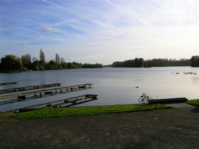
Donkmeer is Natural freshwater lake of about 86 hectares at Berlare in East Flanders, nearby west of Sint-Niklaas. Research access, facilities, and seasonal conditions with official sources before visiting.
Image: Bartholomeus Dolendo, Peter Bast, Hugo Grotius; Hessisches Landesarchiv / Wikimedia Commons, CC BY 4.0. Visual context only.
Belgium · Western Europe
Drowned Land of Saeftinghe
Nature area
Drowned Land of Saeftinghe is Tidal salt-marsh nature reserve where the Scheldt meets the Western Scheldt estuary, nearby northeast of Sint-Niklaas on the Dutch side of the border. Research access, facilities, and seasonal conditions with official sources before visiting.
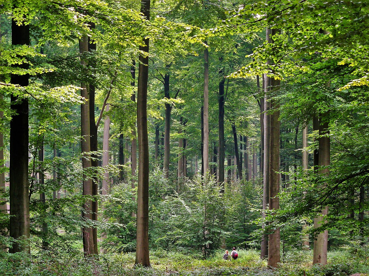
Hallerbos is 552-hectare forest near Halle in Flemish Brabant known for its spring bluebell carpet, nearby south of Sint-Niklaas. Research access, facilities, and seasonal conditions with official sources before visiting.
Kalmthoutse Heide (De Zoom-Kalmthoutse Heide) is Cross-border heathland and pine national park north of Antwerp on the Belgian-Dutch border, nearby northeast of Sint-Niklaas. Research access, facilities, and seasonal conditions with official sources before visiting.
Oosterschelde National Park is Estuarine national park of tidal waters and mudflats in Zeeland, the Netherlands, nearby north of Sint-Niklaas. Research access, facilities, and seasonal conditions with official sources before visiting.
Sonian Forest is 4,400-hectare beech and oak forest at the southeastern edge of Brussels, nearby southeast of Sint-Niklaas. Research access, facilities, and seasonal conditions with official sources before visiting.
The Zwin is Coastal nature reserve of intertidal mudflats and salt marsh on the Belgian-Dutch North Sea border at Knokke-Heist, nearby northwest of Sint-Niklaas. Research access, facilities, and seasonal conditions with official sources before visiting.
This page is a planning surface. Records do not publish exact distances, travel times, transport schedules, opening hours, ticket prices, restaurant or hotel recommendations, attraction rankings, or live access status.
Start with the Sint-Niklaas city profile to anchor the location and country context.
Compare the nearby place records above against your origin city’s transport and access patterns.
Open the detail page for any record marked “Verified source record” to see the official source, Wikidata identity, and visual context.
Check the official source linked on each record for current opening, access, seasonal status, and conditions before departure.
Use the travel budget calculator for user-entered estimates — the platform does not publish ticket prices, transport schedules, or hotel/flight prices.
Confirm route, weather, opening/access status, and costs from official or trusted current sources before departure.
Verification status legend
The status shown on each card reflects the level of source verification: a matched Wikidata identity together with an official URL is shown as verified, an identity match without a confirmed official URL is shown as partially verified, and records not yet matched to a stable identifier are shown as pending review.
Verified source record
6
Partially verified source record
2
Sources and methodology
Nearby weekend places are sourced exclusively from Wikidata — primary identifier (QID), coordinates (P625), and official website (P856) — together with the linked operator (park authority, municipality, heritage body, or UNESCO official page) where Wikidata’s P856 points at it. Records do not publish fixed itineraries, attraction rankings, restaurant or hotel recommendations, event or festival dates, ticket prices, hotel or flight prices, opening hours, transport schedules, exact travel times, exact distances, weather forecasts, crime rates, or any “best” / “must-see” / “safest” / “cheapest” claims. Verify access, opening times, weather, health, and safety details with the official source linked on each record before departure. Read the scoring methodology for how structured indicators are constructed, and the data sources registry for the official publishers cited across the platform.
Continue exploring
Open related platform layers behind Sint-Niklaas weekend research. Verify events, opening hours, transport, weather, health, and safety details with official or trusted current sources before departure.