Research source-backed public places within weekend reach of Mannheim. The records on this page are planning candidates — not a route planner, not a tourism ranking, not a live schedule, and not a price guide. Verify access, transport, weather, opening status, and seasonal conditions with the official source linked on each record before departure.
This page helps users research nearby weekend places connected to Mannheim, Germany, as a starting point for local-first weekend rest. It is not a route planner, ticket guide, events page, tourism ranking, or live availability source. Records are planning candidates only.
Records do not publish exact distances, travel times, transport schedules, opening hours, ticket prices, restaurant or hotel recommendations, attraction rankings, or live access status. Confirm time-sensitive details with the official park, museum, transport authority, or municipal source linked on each record.
Each card opens an official source where Wikidata lists one, plus links to the connected city, country profile, and the detail page for verified records. Records are unordered and not ranked; verify access and conditions with the official source before departure.
Kalmit is Highest peak of the Palatinate Forest, southwest of Mannheim above Neustadt an der Weinstrasse. Research access, facilities, and seasonal conditions with official sources before visiting.
Katzenbuckel is Extinct volcano and highest point of the Odenwald, east of Mannheim near Waldbrunn. Research access, facilities, and seasonal conditions with official sources before visiting.
Kuhkopf-Knoblochsaue is Rhine floodplain wetland nature reserve, the largest in Hesse, north of Mannheim near Stockstadt am Rhein. Research access, facilities, and seasonal conditions with official sources before visiting.
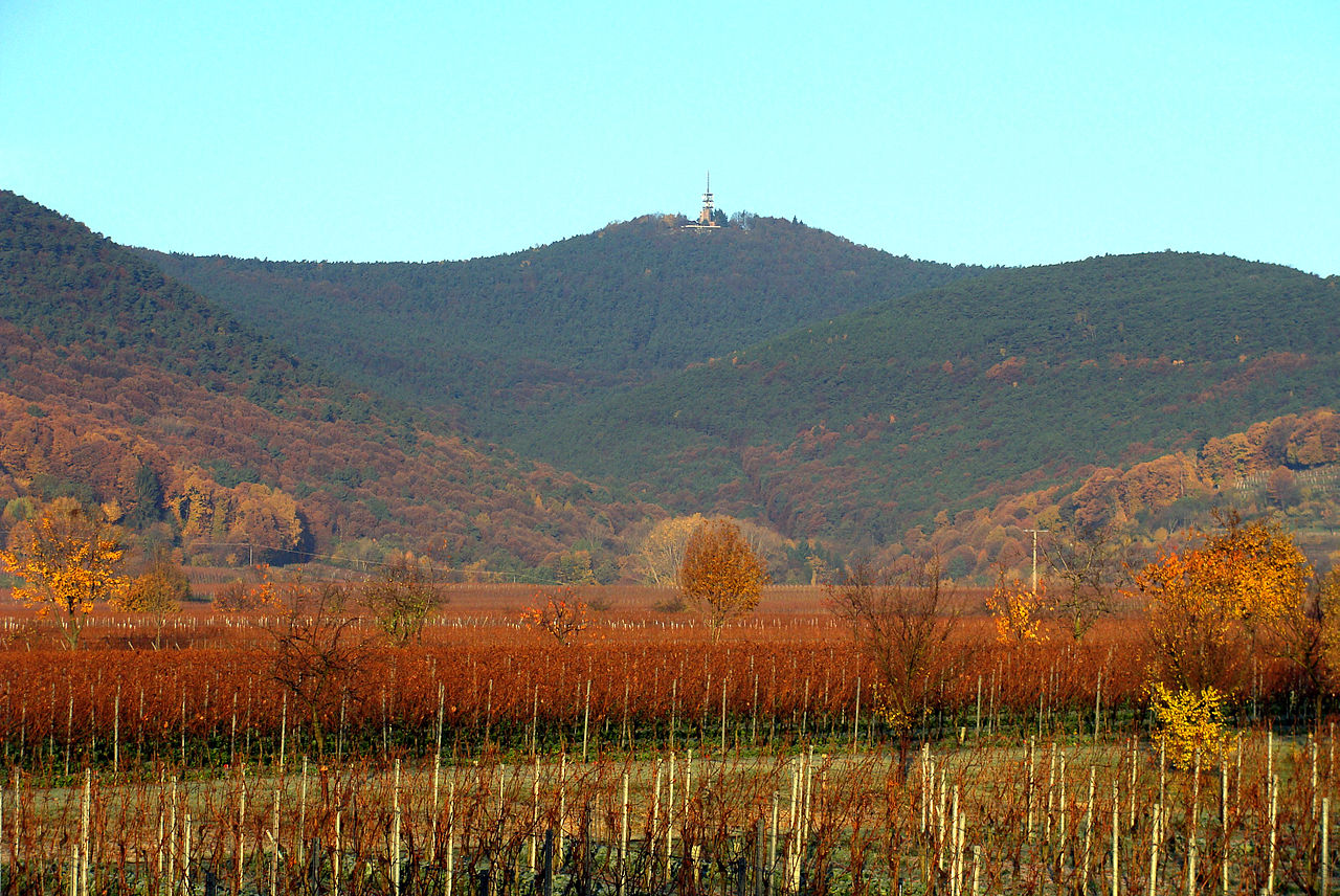
Melibokus is Highest hill of the Bergstrasse on the western edge of the Odenwald, overlooking the Rhine valley north of Mannheim. Research access, facilities, and seasonal conditions with official sources before visiting.
Neckar is River and its valley running west into Mannheim, with a deep wooded valley at Heidelberg just to the east. Research access, facilities, and seasonal conditions with official sources before visiting.
Odenwald is Forested low-mountain range directly east of Mannheim across the Neckar, in Hesse, Baden-Wurttemberg and Bavaria. Research access, facilities, and seasonal conditions with official sources before visiting.
This page is a planning surface. Records do not publish exact distances, travel times, transport schedules, opening hours, ticket prices, restaurant or hotel recommendations, attraction rankings, or live access status.
Start with the Mannheim city profile to anchor the location and country context.
Compare the nearby place records above against your origin city’s transport and access patterns.
Open the detail page for any record marked “Verified source record” to see the official source, Wikidata identity, and visual context.
Check the official source linked on each record for current opening, access, seasonal status, and conditions before departure.
Use the travel budget calculator for user-entered estimates — the platform does not publish ticket prices, transport schedules, or hotel/flight prices.
Confirm route, weather, opening/access status, and costs from official or trusted current sources before departure.
Verification status legend
The status shown on each card reflects the level of source verification: a matched Wikidata identity together with an official URL is shown as verified, an identity match without a confirmed official URL is shown as partially verified, and records not yet matched to a stable identifier are shown as pending review.
Partially verified source record
6
Sources and methodology
Nearby weekend places are sourced exclusively from Wikidata — primary identifier (QID), coordinates (P625), and official website (P856) — together with the linked operator (park authority, municipality, heritage body, or UNESCO official page) where Wikidata’s P856 points at it. Records do not publish fixed itineraries, attraction rankings, restaurant or hotel recommendations, event or festival dates, ticket prices, hotel or flight prices, opening hours, transport schedules, exact travel times, exact distances, weather forecasts, crime rates, or any “best” / “must-see” / “safest” / “cheapest” claims. Verify access, opening times, weather, health, and safety details with the official source linked on each record before departure. Read the scoring methodology for how structured indicators are constructed, and the data sources registry for the official publishers cited across the platform.
Continue exploring
Open related platform layers behind Mannheim weekend research. Verify events, opening hours, transport, weather, health, and safety details with official or trusted current sources before departure.