Research source-backed public places within weekend reach of Kropyvnytskyi. The records on this page are planning candidates — not a route planner, not a tourism ranking, not a live schedule, and not a price guide. Verify access, transport, weather, opening status, and seasonal conditions with the official source linked on each record before departure.
This page helps users research nearby weekend places connected to Kropyvnytskyi, Ukraine, as a starting point for local-first weekend rest. It is not a route planner, ticket guide, events page, tourism ranking, or live availability source. Records are planning candidates only.
Records do not publish exact distances, travel times, transport schedules, opening hours, ticket prices, restaurant or hotel recommendations, attraction rankings, or live access status. Confirm time-sensitive details with the official park, museum, transport authority, or municipal source linked on each record.
Each card opens an official source where Wikidata lists one, plus links to the connected city, country profile, and the detail page for verified records. Records are unordered and not ranked; verify access and conditions with the official source before departure.
Aktove Canyon is Granite canyon cut by the Mertvovod River to over depth, nearby southwest of Kropyvnytskyi in Voznesensk Raion, Mykolaiv Oblast. Research access, facilities, and seasonal conditions with official sources before visiting.
Buzkyi Gard National Nature Park is National nature park along the Southern Bug River canyon with granite outcrops, rapids and islands, nearby southwest of Kropyvnytskyi in Mykolaiv Oblast. Research access, facilities, and seasonal conditions with official sources before visiting.
Granite-steppe lands of Buh is Regional landscape park covering the Southern Bug valley and tributary gorges with crystalline-shield rock formations, nearby southwest of Kropyvnytskyi in northwestern Mykolaiv Oblast. Research access, facilities, and seasonal conditions with official sources before visiting.
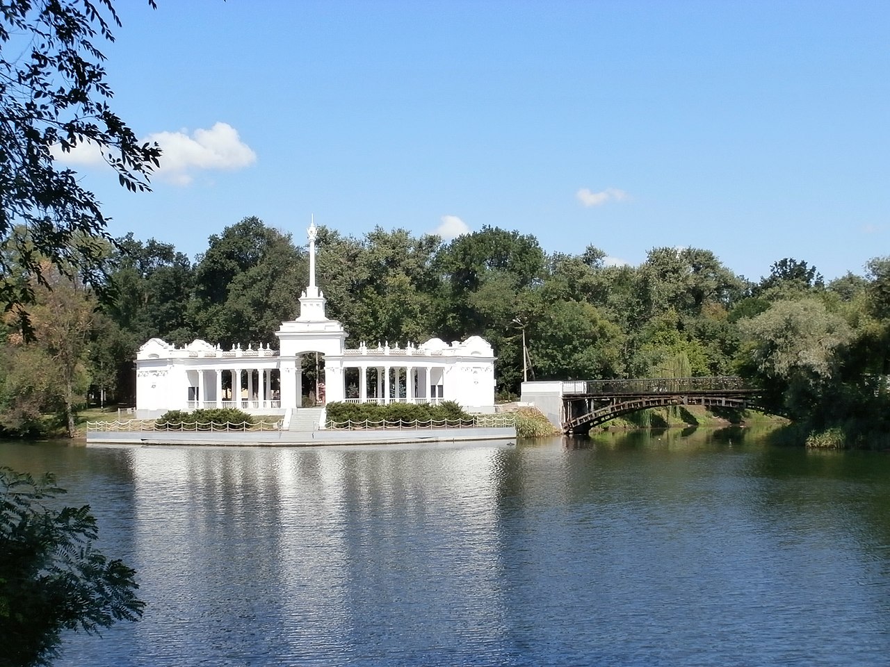
Inhul River is River rising in Kirovohrad Oblast that flows directly through Kropyvnytskyi southward toward Mykolaiv, with riverbank and valley settings in and around the city. Research access, facilities, and seasonal conditions with official sources before visiting.
Inhulets River is River with its source in a ravine of the Dnieper Upland in Kropyvnytskyi Raion, nearby west of Kropyvnytskyi. Research access, facilities, and seasonal conditions with official sources before visiting.
Kremenchuk Reservoir is Large reservoir on the Dnieper River bordering Kirovohrad, Cherkasy and Poltava Oblasts, nearby north-northeast of Kropyvnytskyi. Research access, facilities, and seasonal conditions with official sources before visiting.
Pryinhulskyi Regional Landscape Park is Regional landscape park in the Inhul River valley with virgin steppe, granite outcrops and reservoirs, nearby south of Kropyvnytskyi in northern Mykolaiv Oblast. Research access, facilities, and seasonal conditions with official sources before visiting.
Tiasmyn River is River originating in the Dnieper hills of northern Kirovohrad Oblast, flowing north into Cherkasy Oblast, with its source area nearby north of Kropyvnytskyi. Research access, facilities, and seasonal conditions with official sources before visiting.
This page is a planning surface. Records do not publish exact distances, travel times, transport schedules, opening hours, ticket prices, restaurant or hotel recommendations, attraction rankings, or live access status.
Start with the Kropyvnytskyi city profile to anchor the location and country context.
Compare the nearby place records above against your origin city’s transport and access patterns.
Open the detail page for any record marked “Verified source record” to see the official source, Wikidata identity, and visual context.
Check the official source linked on each record for current opening, access, seasonal status, and conditions before departure.
Use the travel budget calculator for user-entered estimates — the platform does not publish ticket prices, transport schedules, or hotel/flight prices.
Confirm route, weather, opening/access status, and costs from official or trusted current sources before departure.
Verification status legend
The status shown on each card reflects the level of source verification: a matched Wikidata identity together with an official URL is shown as verified, an identity match without a confirmed official URL is shown as partially verified, and records not yet matched to a stable identifier are shown as pending review.
Verified source record
2
Partially verified source record
6
Sources and methodology
Nearby weekend places are sourced exclusively from Wikidata — primary identifier (QID), coordinates (P625), and official website (P856) — together with the linked operator (park authority, municipality, heritage body, or UNESCO official page) where Wikidata’s P856 points at it. Records do not publish fixed itineraries, attraction rankings, restaurant or hotel recommendations, event or festival dates, ticket prices, hotel or flight prices, opening hours, transport schedules, exact travel times, exact distances, weather forecasts, crime rates, or any “best” / “must-see” / “safest” / “cheapest” claims. Verify access, opening times, weather, health, and safety details with the official source linked on each record before departure. Read the scoring methodology for how structured indicators are constructed, and the data sources registry for the official publishers cited across the platform.
Continue exploring
Open related platform layers behind Kropyvnytskyi weekend research. Verify events, opening hours, transport, weather, health, and safety details with official or trusted current sources before departure.