Research source-backed public places within weekend reach of Arlon. The records on this page are planning candidates — not a route planner, not a tourism ranking, not a live schedule, and not a price guide. Verify access, transport, weather, opening status, and seasonal conditions with the official source linked on each record before departure.
This page helps users research nearby weekend places connected to Arlon, Belgium, as a starting point for local-first weekend rest. It is not a route planner, ticket guide, events page, tourism ranking, or live availability source. Records are planning candidates only.
Records do not publish exact distances, travel times, transport schedules, opening hours, ticket prices, restaurant or hotel recommendations, attraction rankings, or live access status. Confirm time-sensitive details with the official park, museum, transport authority, or municipal source linked on each record.
Each card opens an official source where Wikidata lists one, plus links to the connected city, country profile, and the detail page for verified records. Records are unordered and not ranked; verify access and conditions with the official source before departure.
German-Luxembourg Nature Park is Cross-border nature park along the Our river valley between Luxembourg and Germany, beginning nearby north-east of Arlon. Research access, facilities, and seasonal conditions with official sources before visiting.
Little Switzerland (Mullerthal) is Forested sandstone landscape of ravines, rock formations and streams in eastern Luxembourg (UNESCO Mëllerdall Geopark), nearby north-east of Arlon. Research access, facilities, and seasonal conditions with official sources before visiting.
Lorraine Regional Natural Park is Regional natural park of plateaus, forest valleys, wetlands and ponds in north-eastern France, about 90-nearby south-west of Arlon. Research access, facilities, and seasonal conditions with official sources before visiting.
Our (river) is River valley forming the German-Belgian and German-Luxembourg border, with wooded gorges, running 40-nearby north of Arlon. Research access, facilities, and seasonal conditions with official sources before visiting.
Semois Valley National Park is Wallonia national park along the forested meandering Semois river valley in the southern Ardennes, west of Arlon (river rises near Arlon). Research access, facilities, and seasonal conditions with official sources before visiting.
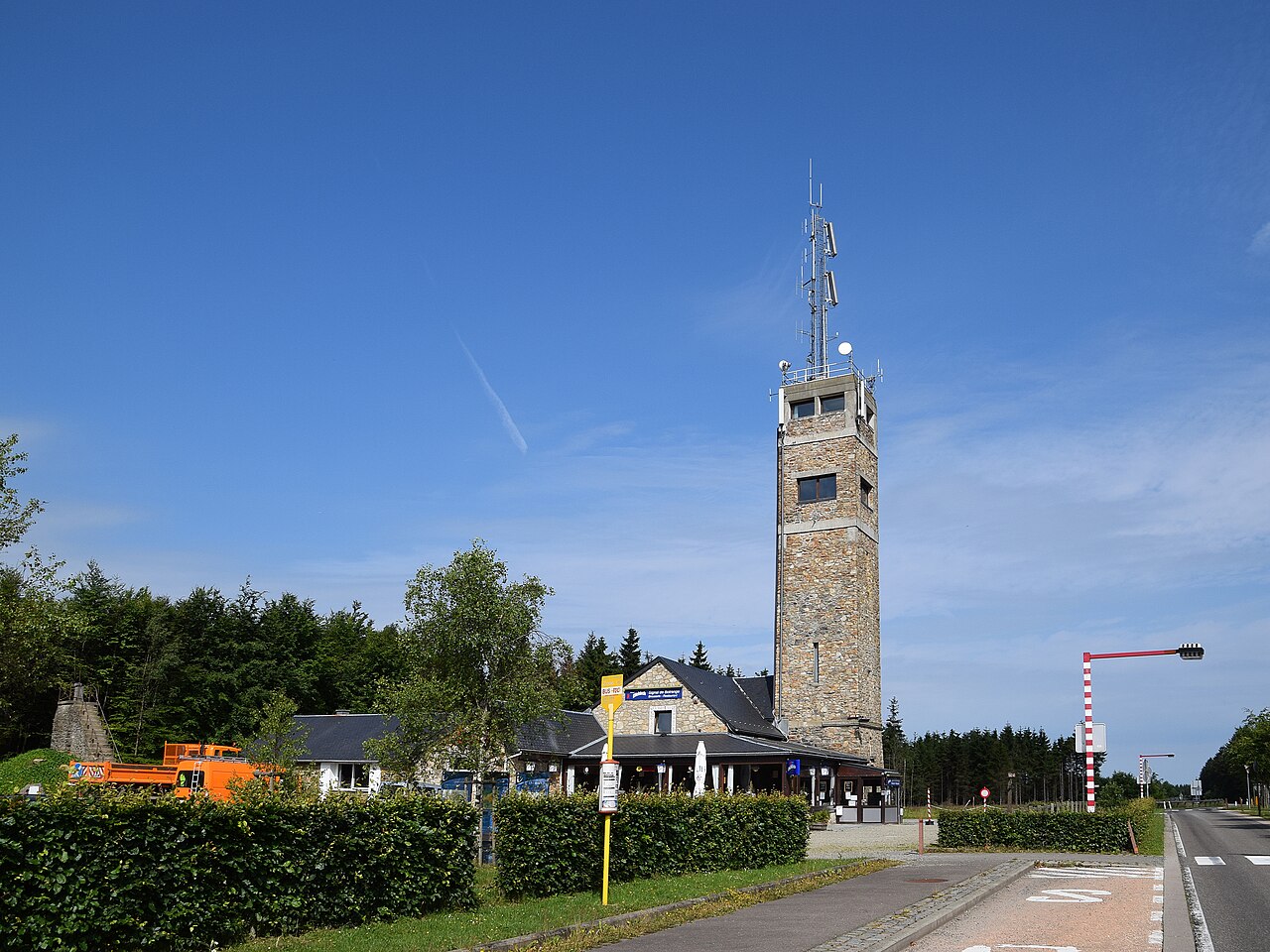
Signal de Botrange is Highest point in Belgium () on the High Fens plateau, nearby north of Arlon. Research access, facilities, and seasonal conditions with official sources before visiting.
Upper Sûre Lake is Reservoir created by the Esch-sur-Sûre Dam and the largest body of water in Luxembourg, nearby north of Arlon. Research access, facilities, and seasonal conditions with official sources before visiting.
Upper Sûre Natural Park is Nature park surrounding the Upper Sûre Lake in the Éislek region of north-western Luxembourg, nearby north of Arlon. Research access, facilities, and seasonal conditions with official sources before visiting.
This page is a planning surface. Records do not publish exact distances, travel times, transport schedules, opening hours, ticket prices, restaurant or hotel recommendations, attraction rankings, or live access status.
Start with the Arlon city profile to anchor the location and country context.
Compare the nearby place records above against your origin city’s transport and access patterns.
Open the detail page for any record marked “Verified source record” to see the official source, Wikidata identity, and visual context.
Check the official source linked on each record for current opening, access, seasonal status, and conditions before departure.
Use the travel budget calculator for user-entered estimates — the platform does not publish ticket prices, transport schedules, or hotel/flight prices.
Confirm route, weather, opening/access status, and costs from official or trusted current sources before departure.
Verification status legend
The status shown on each card reflects the level of source verification: a matched Wikidata identity together with an official URL is shown as verified, an identity match without a confirmed official URL is shown as partially verified, and records not yet matched to a stable identifier are shown as pending review.
Verified source record
4
Partially verified source record
4
Sources and methodology
Nearby weekend places are sourced exclusively from Wikidata — primary identifier (QID), coordinates (P625), and official website (P856) — together with the linked operator (park authority, municipality, heritage body, or UNESCO official page) where Wikidata’s P856 points at it. Records do not publish fixed itineraries, attraction rankings, restaurant or hotel recommendations, event or festival dates, ticket prices, hotel or flight prices, opening hours, transport schedules, exact travel times, exact distances, weather forecasts, crime rates, or any “best” / “must-see” / “safest” / “cheapest” claims. Verify access, opening times, weather, health, and safety details with the official source linked on each record before departure. Read the scoring methodology for how structured indicators are constructed, and the data sources registry for the official publishers cited across the platform.
Continue exploring
Open related platform layers behind Arlon weekend research. Verify events, opening hours, transport, weather, health, and safety details with official or trusted current sources before departure.